10 routes · Hiking
Very easy climb to the Reichenkendlkopf and a promising walk along the ridge
Also in Salzburg, Austria
Hiking Moderate

This is a popular hiking route which is generally considered to be moderate. It's an unknown remoteness, it features unknown exposure and is typically done in an unknown time of year. From a low point of 1.6 km to the maximum altitude of 1.9 km, the route covers 3.6 km, 383 vertical metres of ascent and 30 vertical metres of descent.
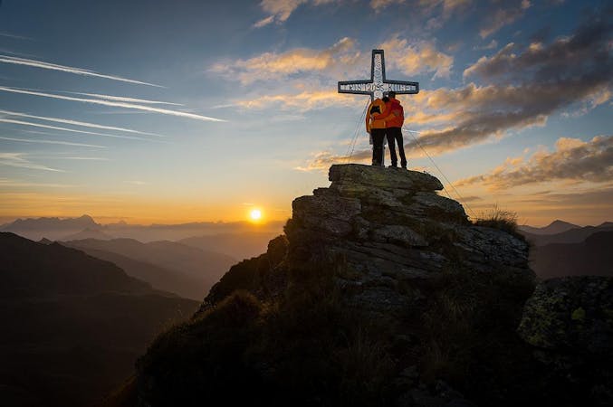
This panoramic walking tour goes from the Reiterkogel mountain station and the Reichskendlkopf along the ridge to the Spieleckkogel. The descent takes the route 3 to Lengau.
Moderate
Hiking along trails with some uneven terrain and small hills. Small rocks and roots may be present.
10 routes · Hiking