8.7 km away
Otztal Ski Tour: Vent to the Martin Busch Hut
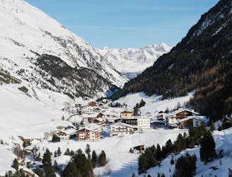
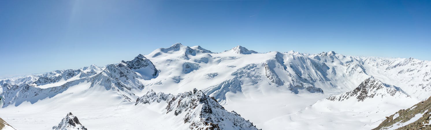
Day 1: A positioning day to the Martin Busch Hut
Moderate Ski Touring
- Distance
- 7.1 km
- Ascent
- 664 m
- Descent
- 55 m
At the border with Italia for an enjoyable ski tour.
Ski Touring Severe

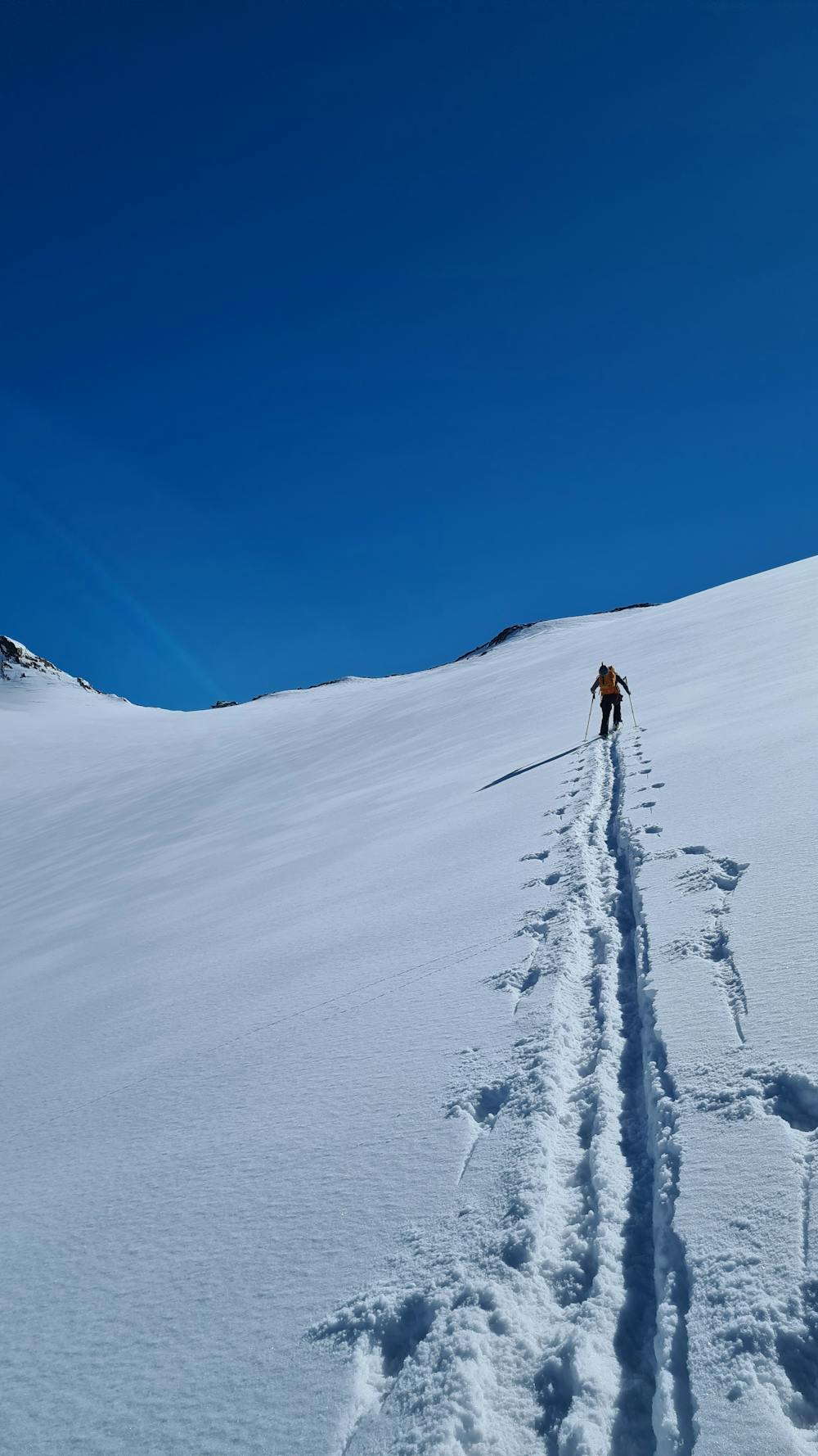
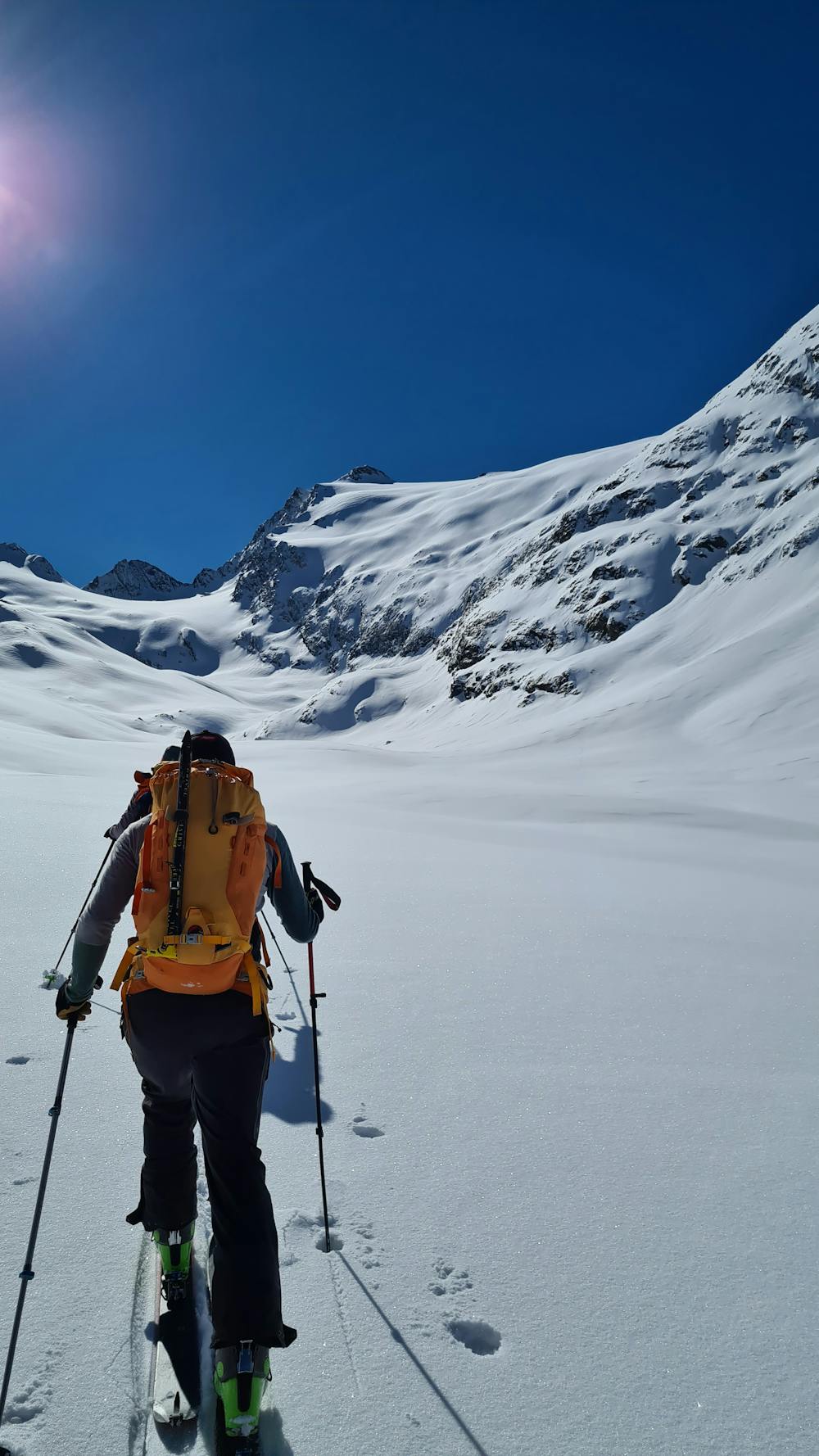
Starting from the ski resort of Obergurgl, the start is easy on the slopes. Then a classic long old glacier valley starts, but with the beautiful summits around, it is easy to tour up ! The Hinterer Seelenkogel is the last one on the list, but still a nice one ! It is possible to do also the Hochwilde the same day but dont underestimate it, it is long and technical, especially if you want to reach the south summit. The skiing from the Hinterer Seelenkogel to the Langtaler Ferner is enjoyable only a short but exposed and steep section at the beginning requires a good technic and focus.
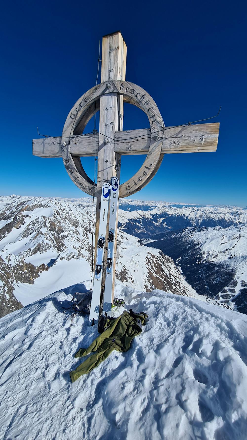
Severe
Steep skiing at 38-45 degrees. This requires very good technique and the risk of falling has serious consequences.

Exposure is limited to that of the slope itself. Getting hurt is still likely if the slope is steep and/or the snow is hard.

Away from help but easily accessed.
8.7 km away
Day 1: A positioning day to the Martin Busch Hut
Moderate Ski Touring
6 routes · Ski Touring

17 routes · Ski Touring