Berliner Höhenweg
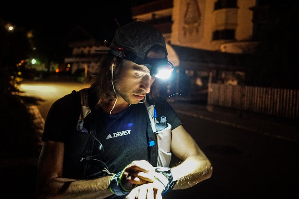
Mayrhofen
The Berliner Höhenweg, or how some people also say - Zillertaler Runde, is one of the most famous multi day hiking routes in the alps. But mind the difficulty of this loop! It’s high alpine, steep and exposed.
Trail Running Extreme
- Distance
- 90 km
- Ascent
- 7 km
- Descent
- 7 km
- Duration
- 1 day +
- Low Point
- 630 m
- High Point
- 3.1 km
- Gradient
- 21˚

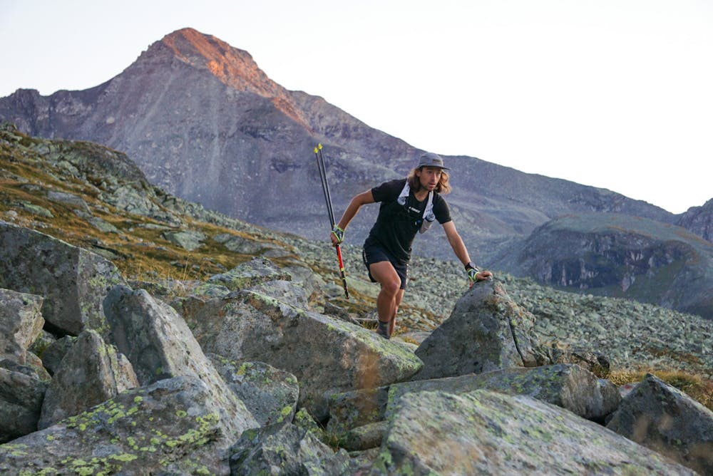
Starting in Mayrhofen you leave the city and head direction Finkenberg, where the first uphill direction Gamshütte starts. It’s a relaxed and easy start. From Gamshütte the loop shows it’s real face. To Friesenberghaus and further to Olpererhütte it gets blocked from time to time and with its technical terrain the way can take you longer than you expect.
- •
- •
- •
- •
- •
- •
- •
- •
Description
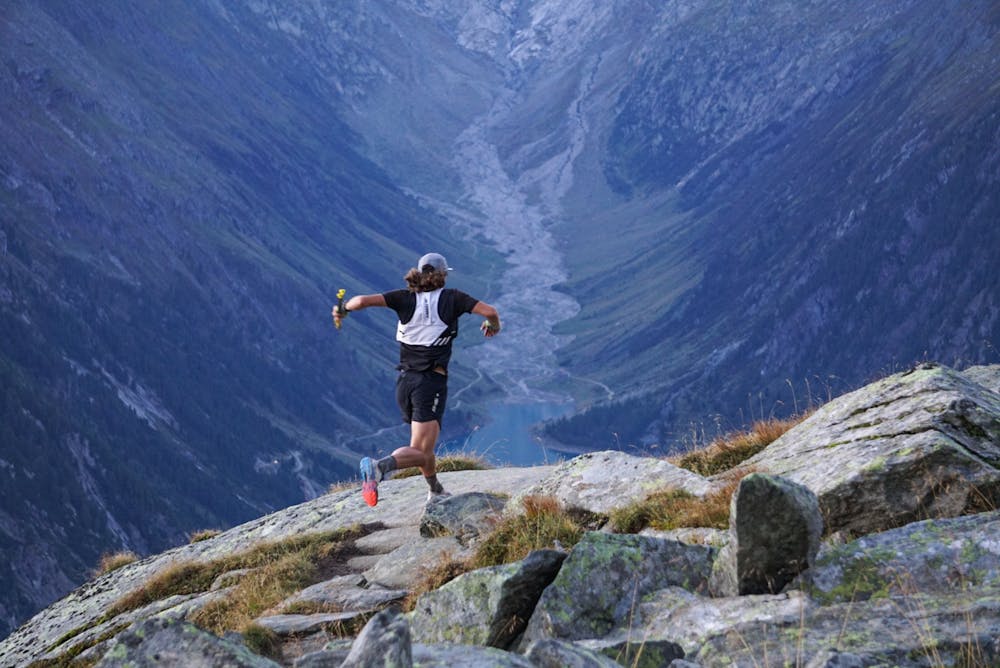
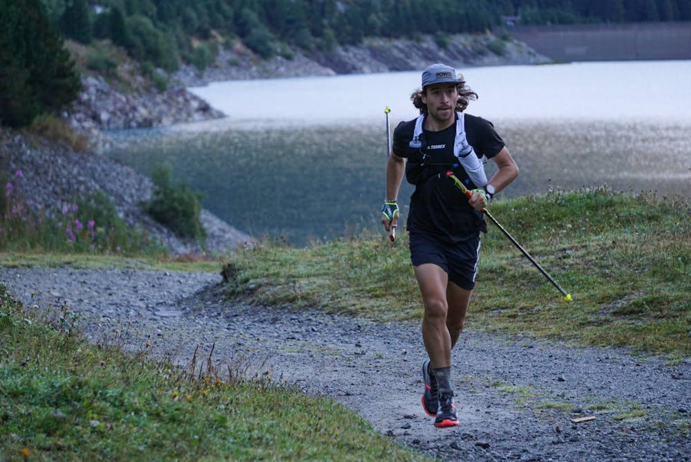
After reaching Olpererhütte a downhill will lead you to the Schlegeis lake, which you already could seen on the traverse. Here you can also decide to go on, or take the bus back down to Mayrhofen.
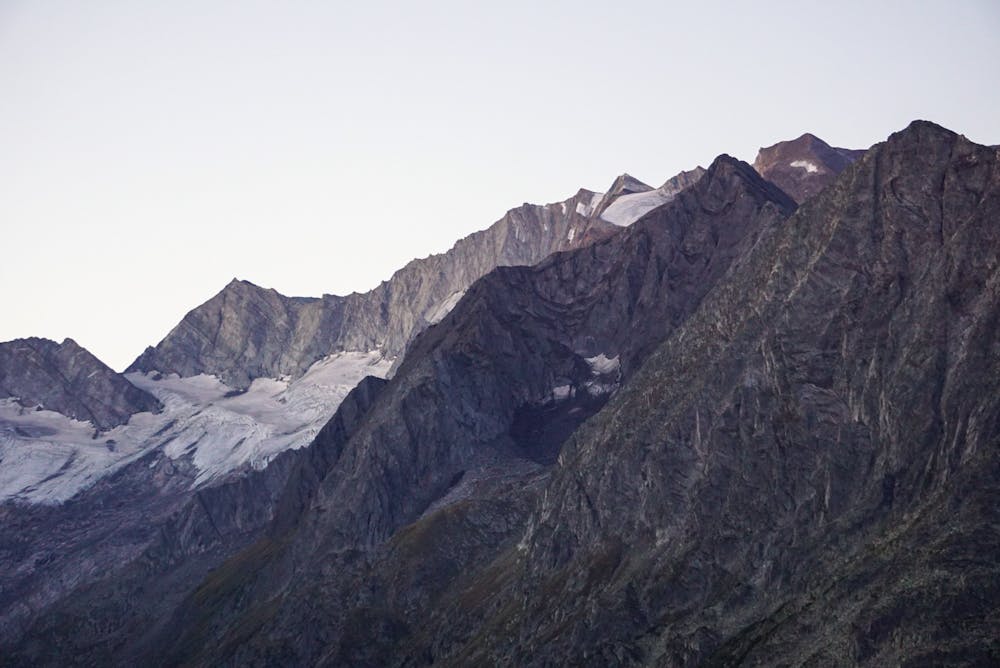
If you decide to keep going, a gravel road Leads you to the end of the lake where the uphill to the highest point of the route awaits you - Schönbichler Horn (exposed and quite difficult). Down from the peak you’ll reach Berliner Hütte, which marks more or less the halftime. Take your time and soak in the traditional and historical atmosphere of this hut, before you dive into the next climb.
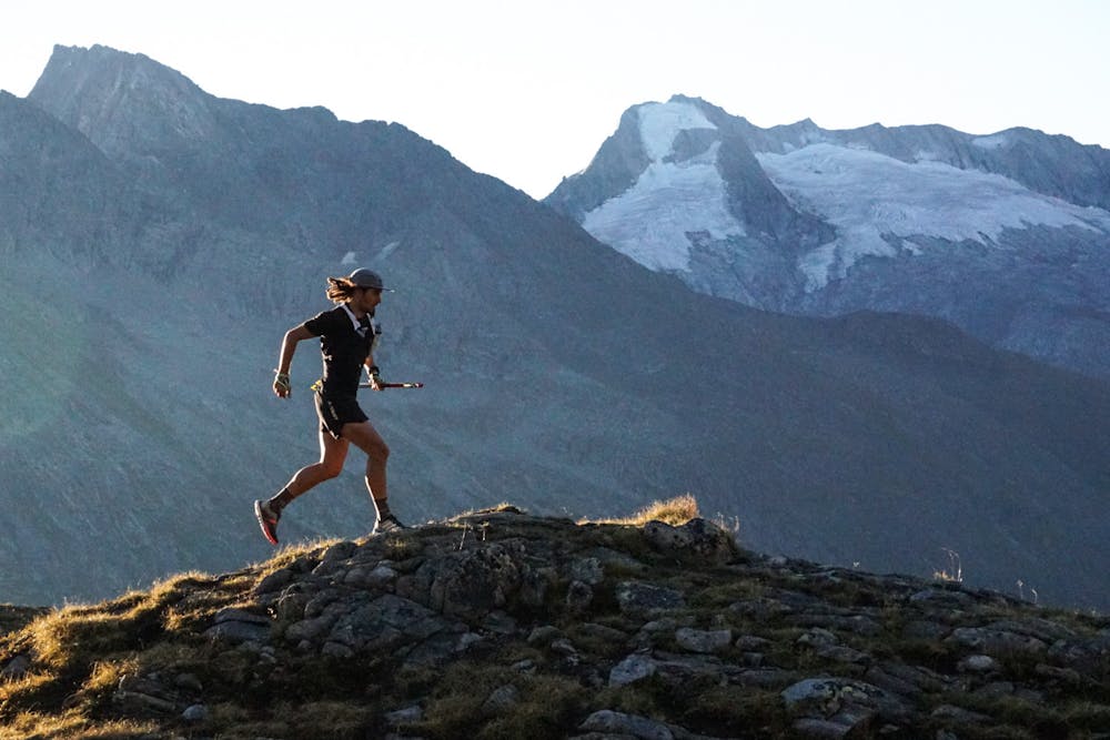
Also this part is quite technical and affords a strong mind and condition. Reaching Greizer Hütte don’t forget to refill you batteries cause the last real climb of the Berliner Höhenweg waits for you from where you can see pretty the rest of the route, despite the last downhill to Mayrhofen.
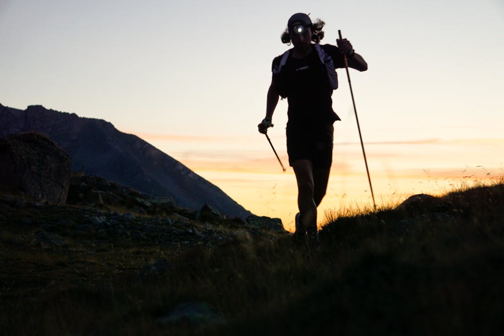
It looks long - and so it is! Don’t get stressed about that. Better enjoy the surreal surrounding and keep on going.
When you reach the second last hut, which is Kasseler Hütte, prepare for a demanding last part - the Siebenschneidenweg. You never really climb a lot, but seven times a bit in addition there is a lot of blocked terrain. Reaching the „last Schneide“ you can already see Edelhütte from where it’s just a last easy downhill back to Mayrhofen.
A loop you’ll never forget!
Difficulty
Extreme
High Exposure

Some trail sections have exposed ledges or steep ascents/descents where falling could cause serious injury.
Remoteness

Away from help but easily accessed.