3 routes · Trail Running
A magnificent yet demanding loop to Hoher Burgstal (one of the Stubai 7 summits)
Trail Running Difficult

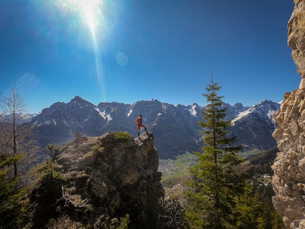
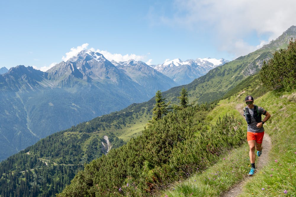
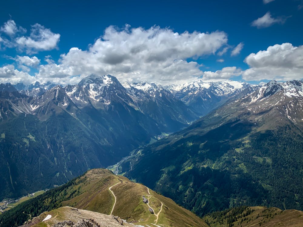
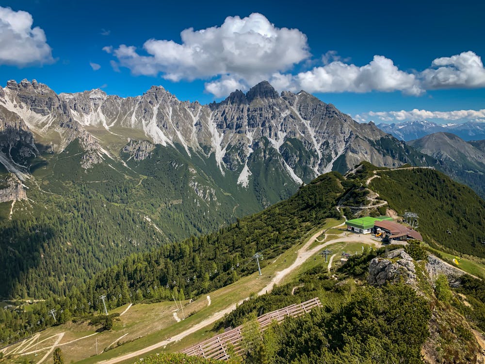
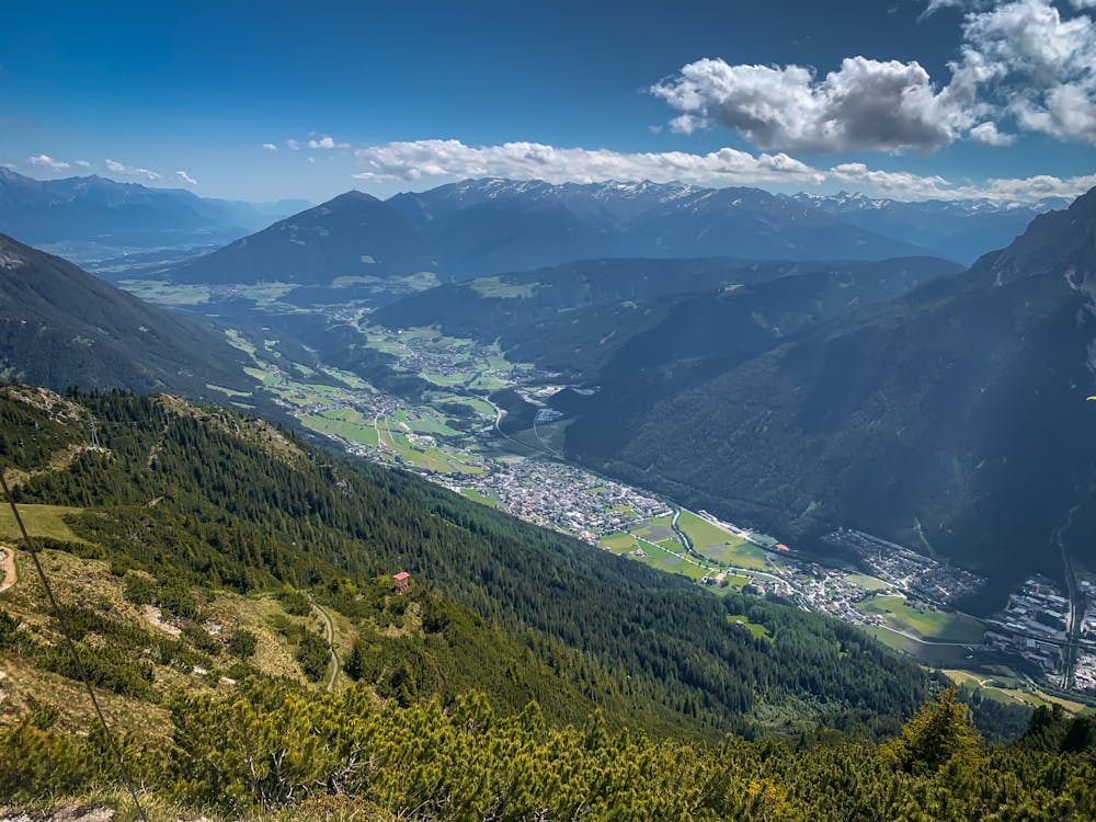
Park your car or take a bus to Schlick Ski Area (parking free of charge). Starting on dirt road and couple hundred meters after you pass the ski lift turn left to the forest track. The track leads to Fronebenalm and Schlick Ski Lift middle station. Turn left to Galtalm where the narrow forest/mountain trail begins. After 1100m vertical meters you reach the Kreuzjoch restaurant and a ridge leading to Hoher Burgstall. While running you are surrounded by a magnificent views over the whole Stubaital and Kalkkögel mountain range. After reaching Hoher Burgstal you run down to a small valley of Schlick ski area with an easy and perfectly runnable downhill. There are several points where you can refill your flasks or bladders. 5 huts along the route and one "Quelle" right under Kreuzjoch.

Difficult

The trail contains some obstacles such as outcroppings and rock which could cause injury.

Close to help in case of emergency.
3 routes · Trail Running