Iseler to Kühgundkopf Ridge Trail Run Loop
A stunning ridge line that makes for a great run or hike
Trail Running Moderate
- Distance
- 8.4 km
- Ascent
- 812 m
- Descent
- 811 m
- Duration
- 1-2 hrs
- Low Point
- 1.2 km
- High Point
- 1.9 km
- Gradient
- 17˚

A scenic and steep trail run loop above the mountain town of Oberjoch.
- •
- •
- •
- •
- •
- •
- •
- •
- •
- •
- •
- •
- •
- •
- •
- •
- •
- •
- •
- •
- •
- •
- •
- •
- •
- •
- •
- •
- •
Description
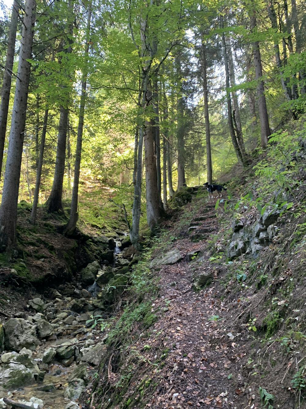
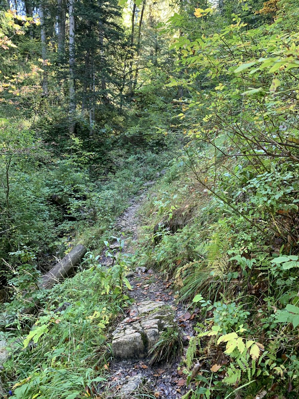
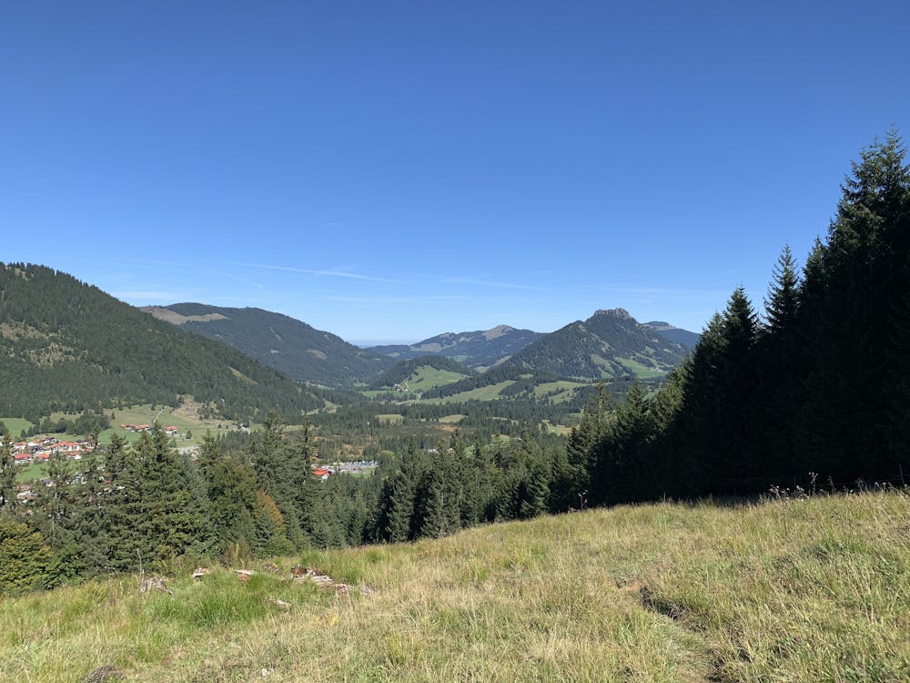
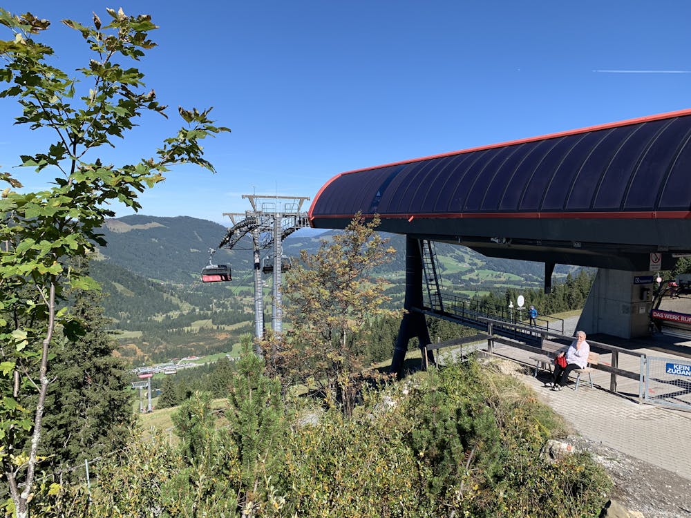
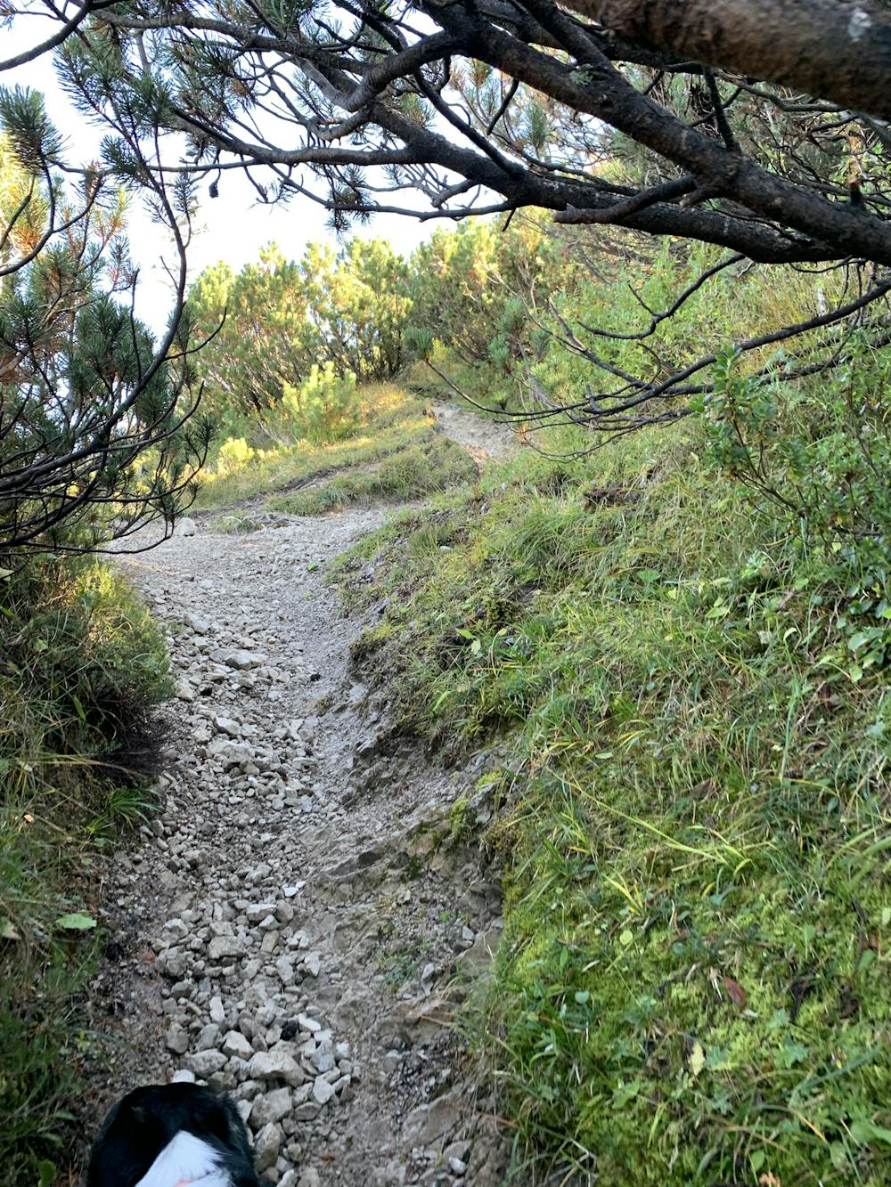
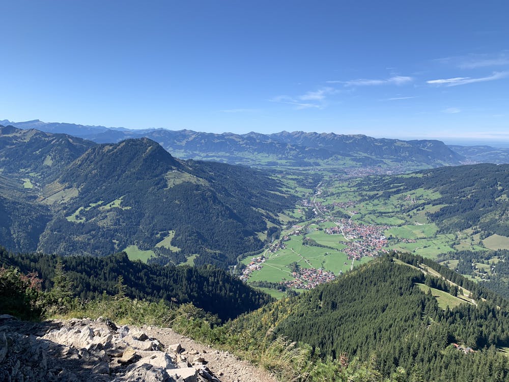
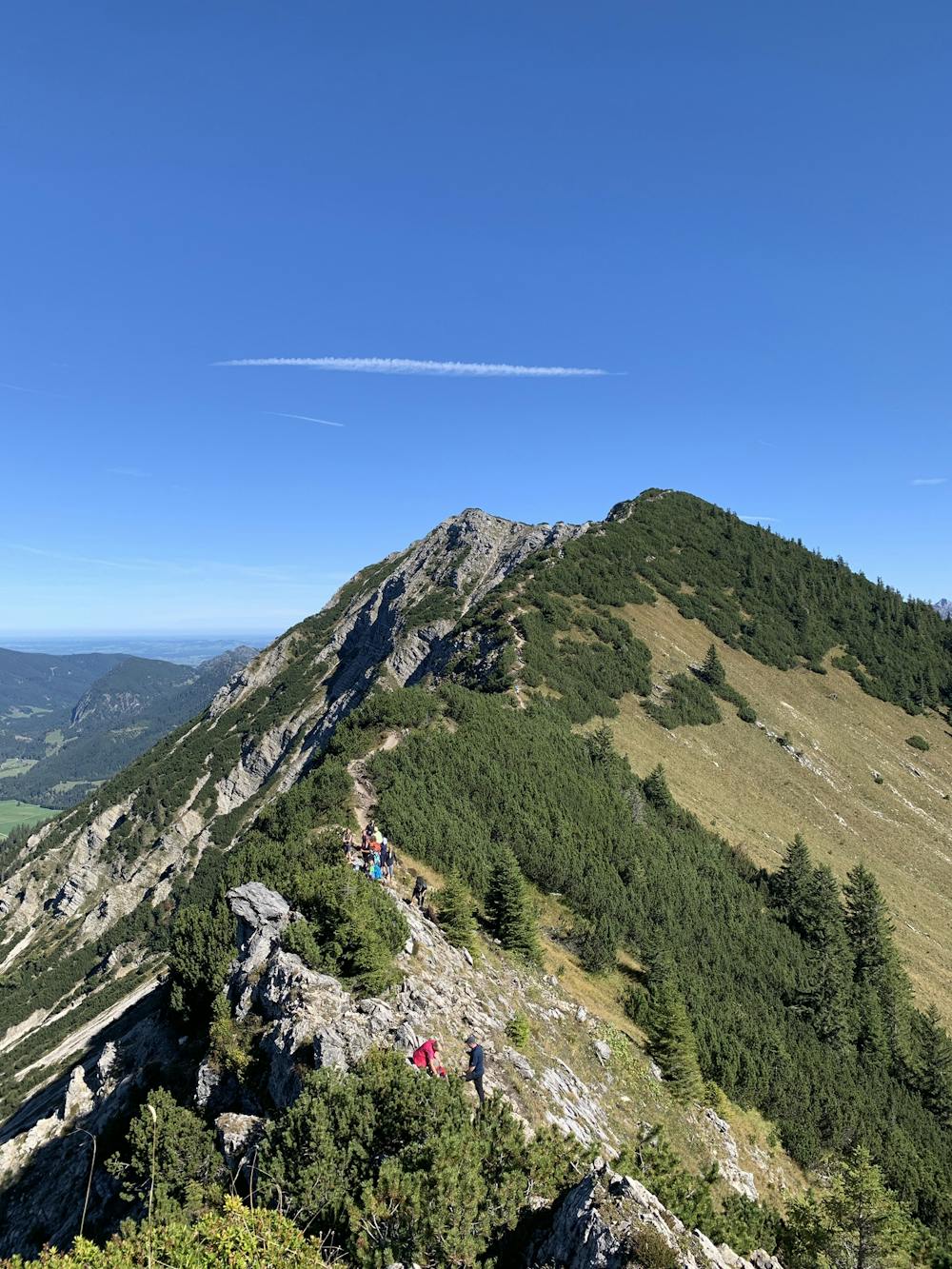
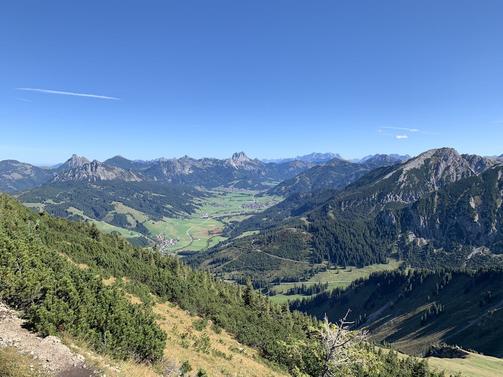
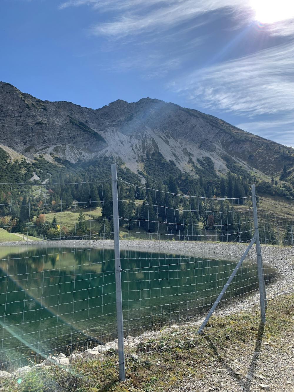
This 9km loop starts at the car park above Oberjoch. Follow the trail up through the woods eventually coming out at the top of the lift station.
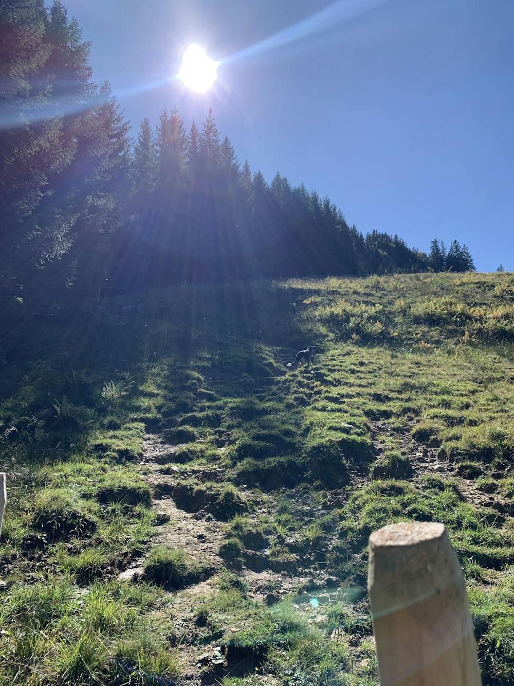
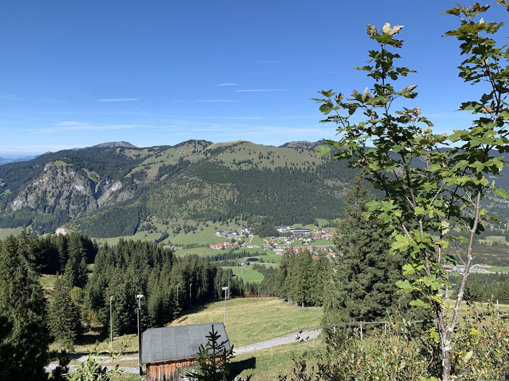
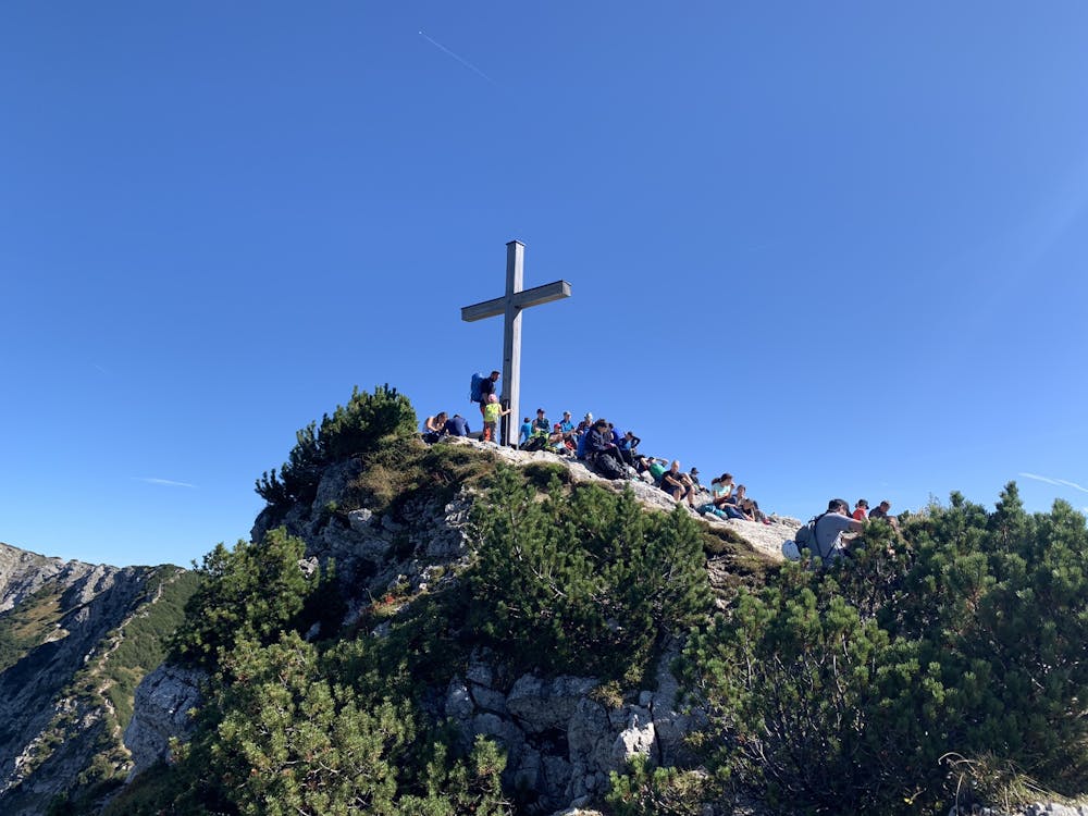
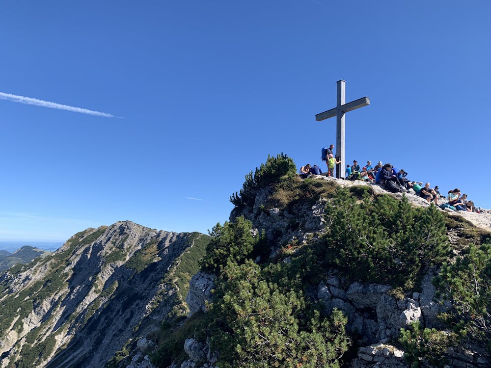
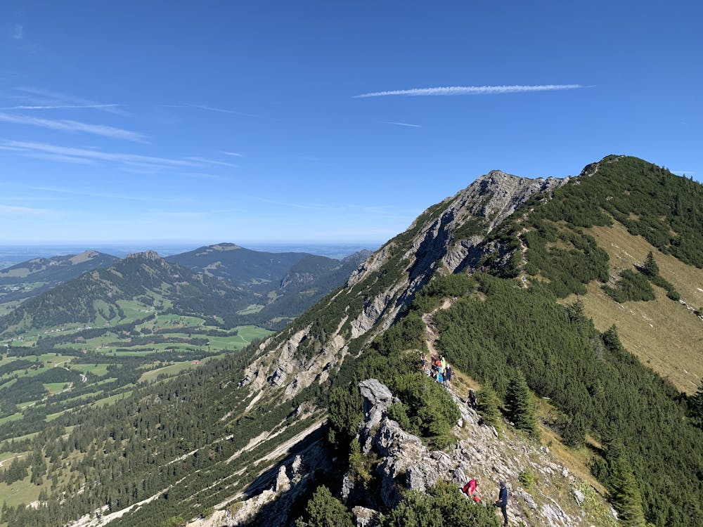
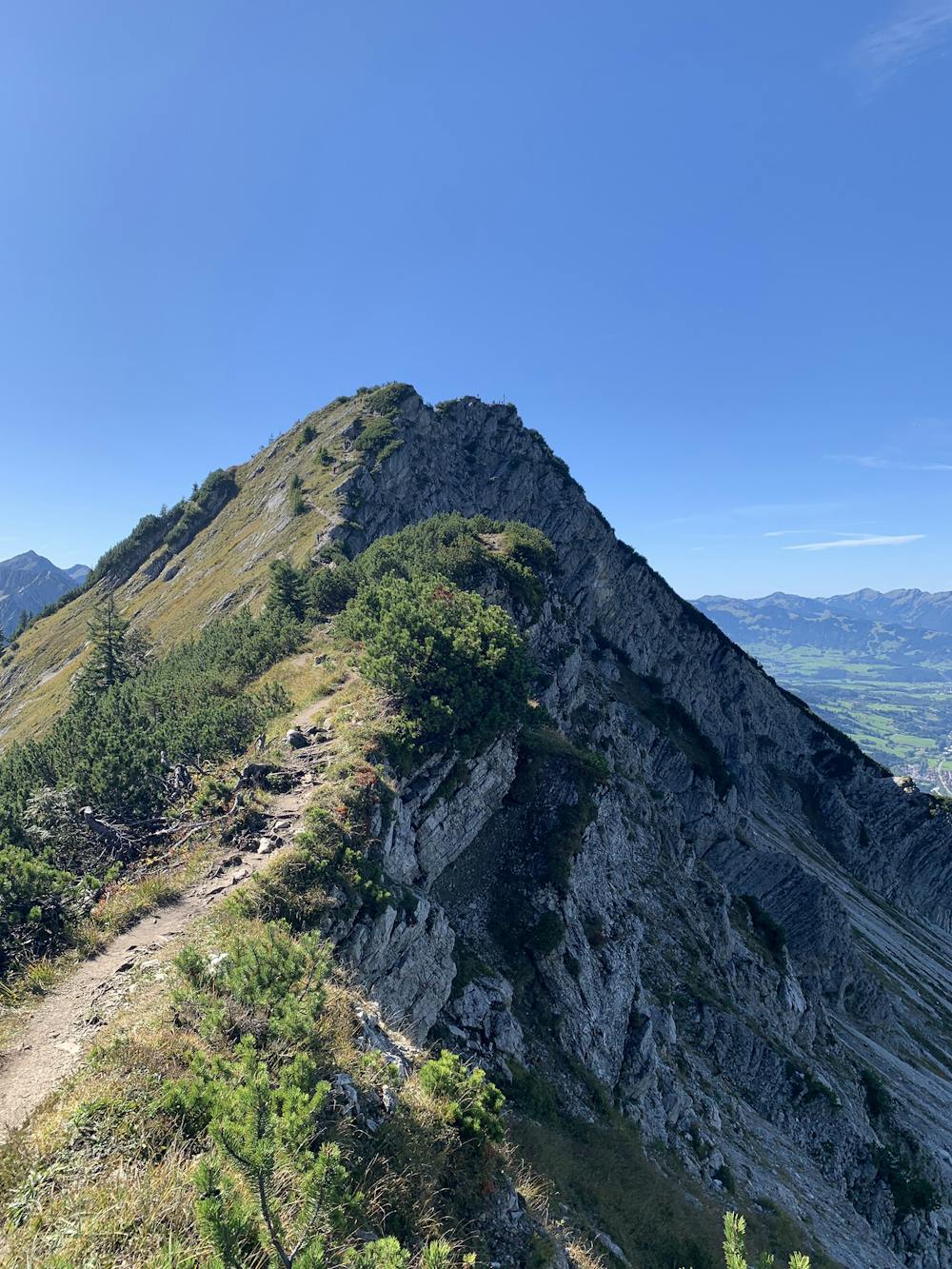
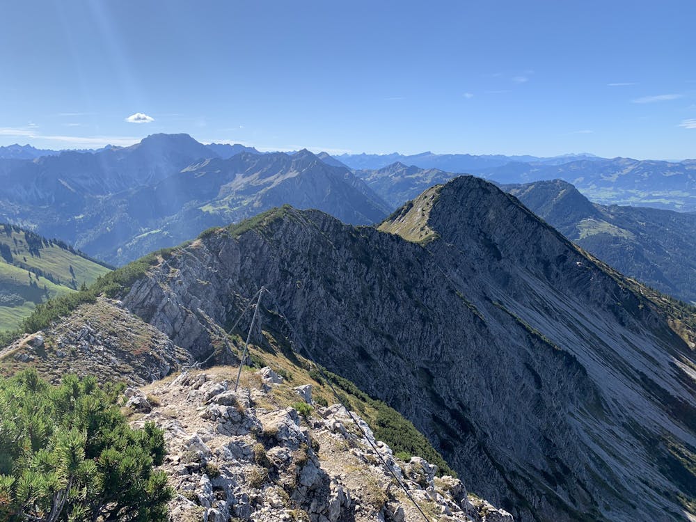
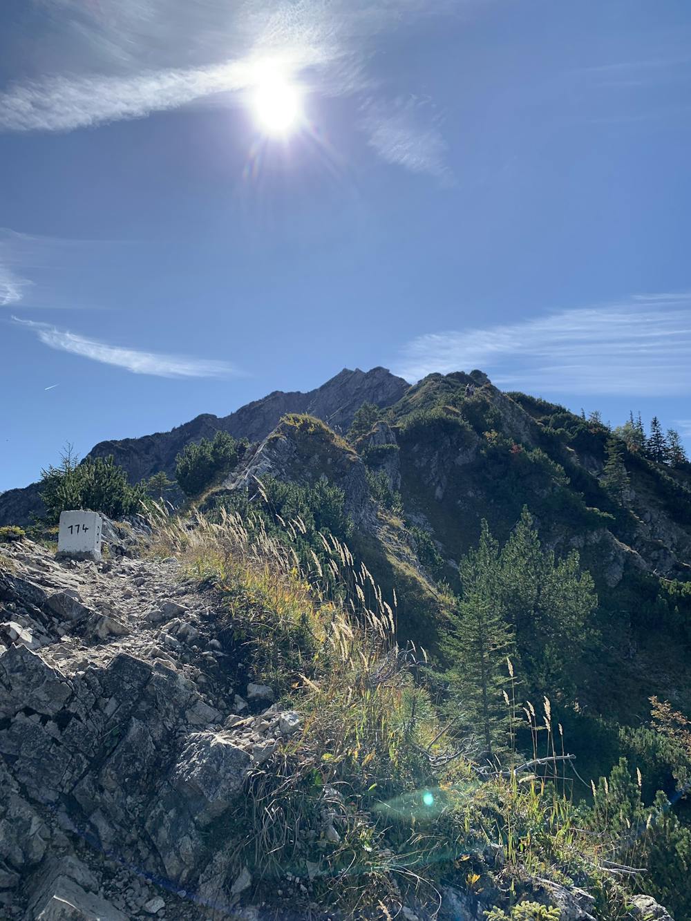
From there, make your way up the zig zag paths to the summit of Iseler. From here the ridge starts across to the summit of Kühgundkopf.
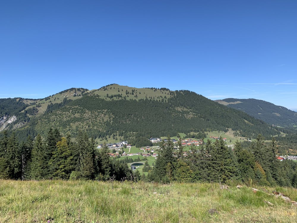
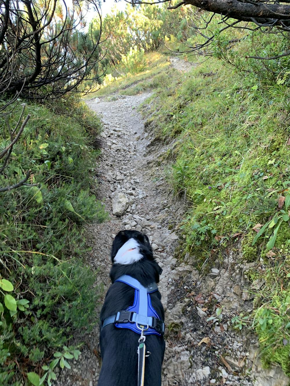
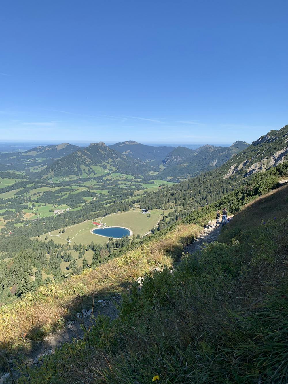
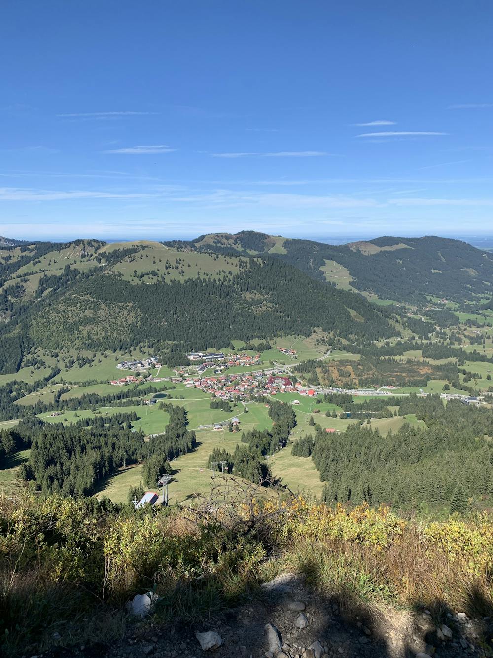
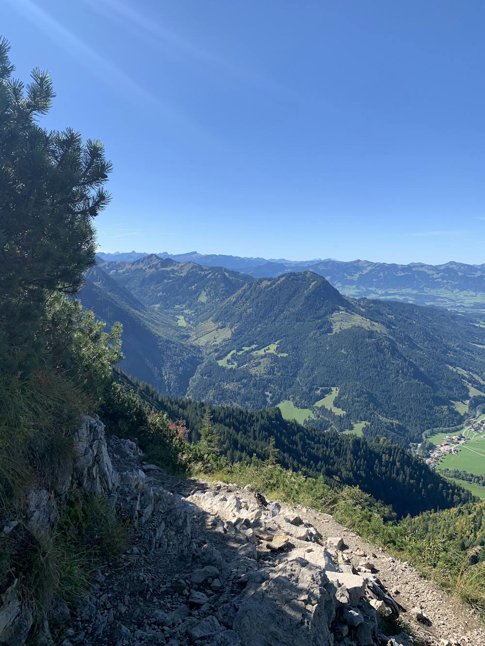
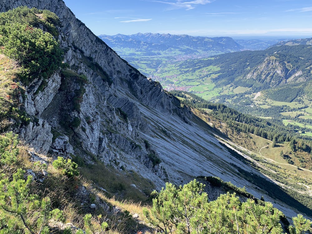
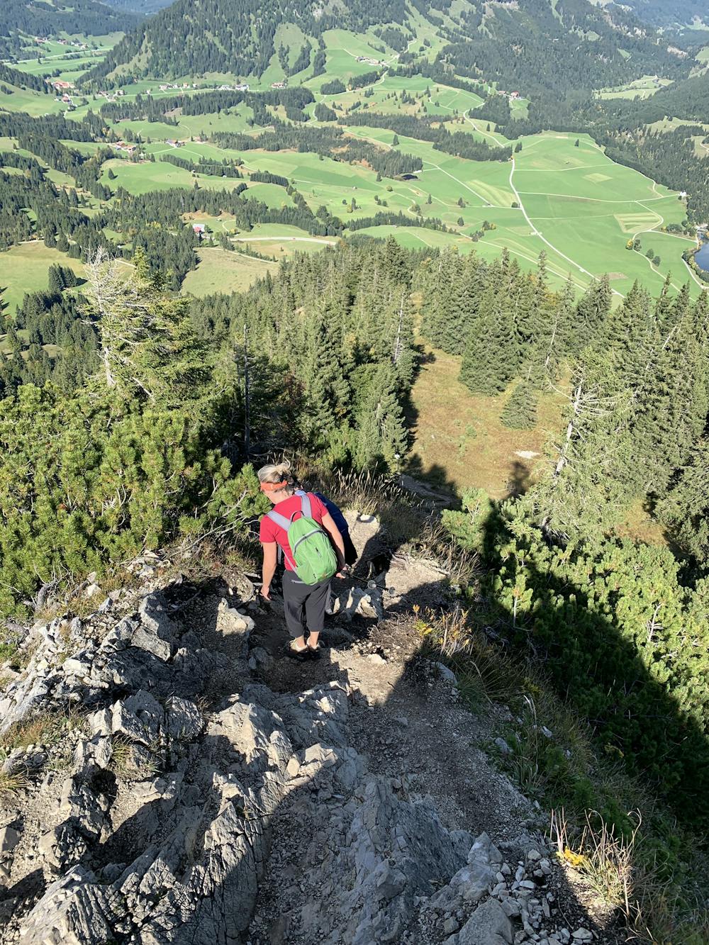
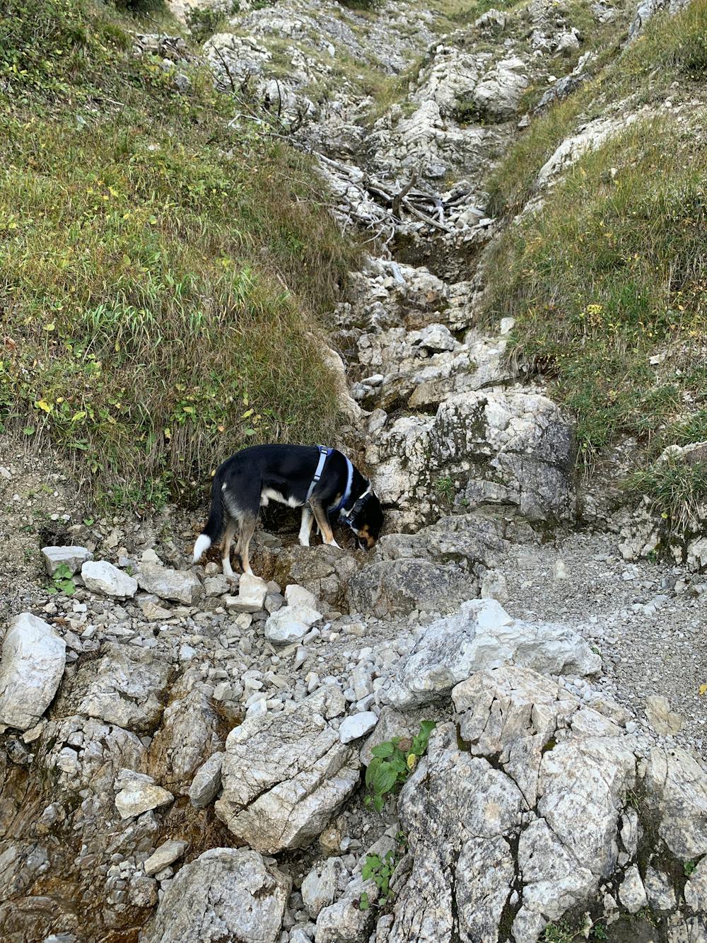
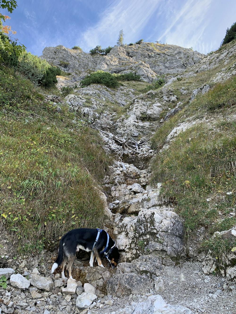
Enjoy the scenic views of both Austria and Germany, but watch your step as the route can be quite loose in places with big cliffs on each side.
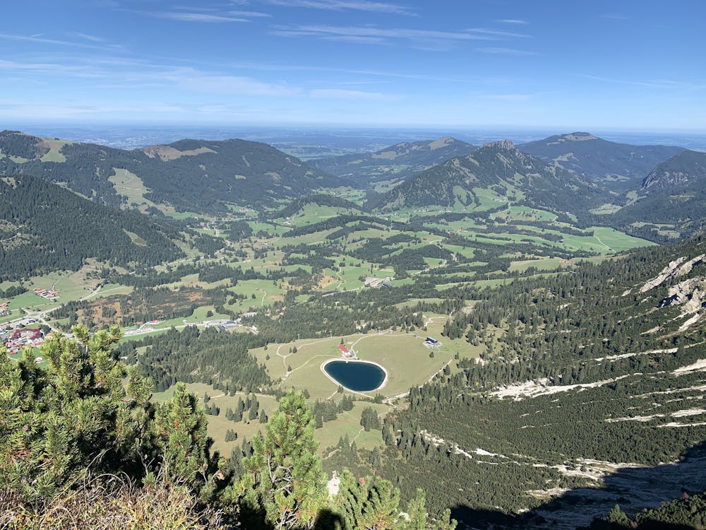
After the summit of Kühgundkopf, you will drop back down the ridge line, eventually following the path as it loops left with the ridge-line now high above you.
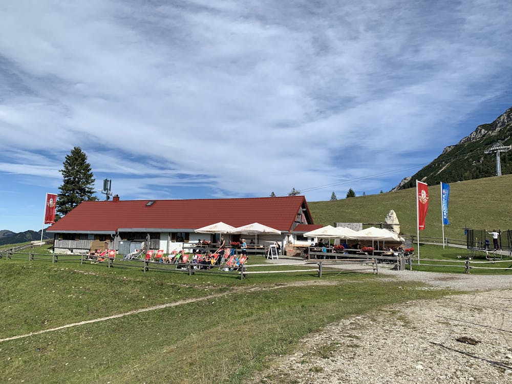
You will pass the Wiedhag-Alpe hut where you can stop for food and drinks, or continue down through some fields and back to the car park.
Difficulty
Moderate
Medium Exposure

The trail contains some obstacles such as outcroppings and rock which could cause injury.
Remoteness

Close to help in case of emergency.