5.2 km away
Bergisel Panorama
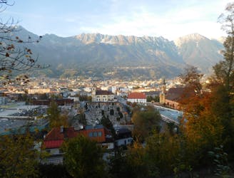
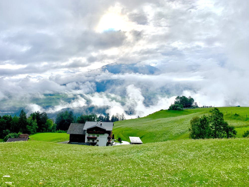
A great little hit of wilderness which is easily reached from the city.
Moderate Trail Running
- Distance
- 2.8 km
- Ascent
- 122 m
- Descent
- 119 m
Medium/hard trailrun route.
Trail Running Difficult

This is a popular trail running route which is generally considered to be difficult. It's remote, it features medium exposure and is typically done in April and October. From a low point of 958 m to the maximum altitude of 2.1 km, the route covers 24 km, 1609 vertical metres of ascent and 1581 vertical metres of descent.
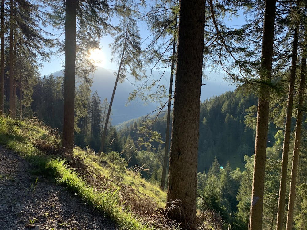
Beautifull Views. Nice training route for bigger distances.
Difficult

The trail contains some obstacles such as outcroppings and rock which could cause injury.
Away from help but easily accessed.
5.2 km away
A great little hit of wilderness which is easily reached from the city.
Moderate Trail Running