5.9 km away
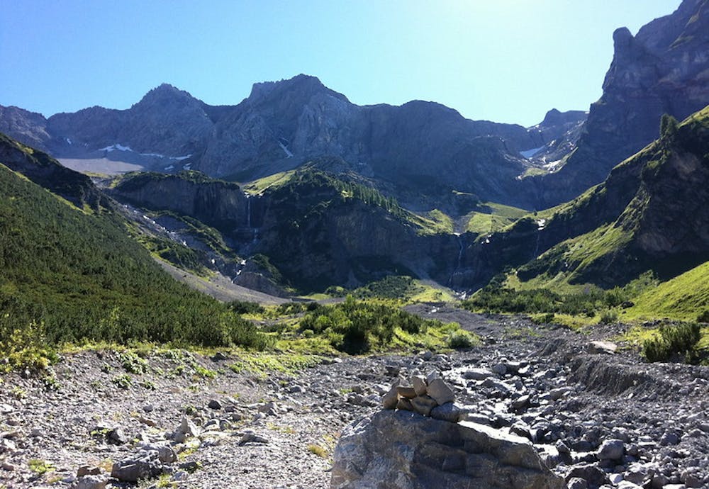
Via Alpina: Gafadura Hut to Sücka
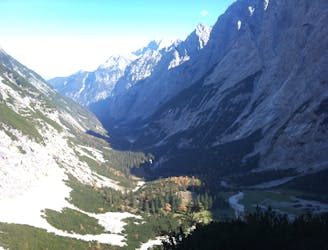
Day 2 of the 7 day Via Alpina hiking itinerary along the limestone cliffs of Rätikon.
Difficult Hiking
- Distance
- 12 km
- Ascent
- 871 m
- Descent
- 871 m
Day 1 of the 7 day Via Alpina hiking itinerary along the limestone cliffs of Rätikon.
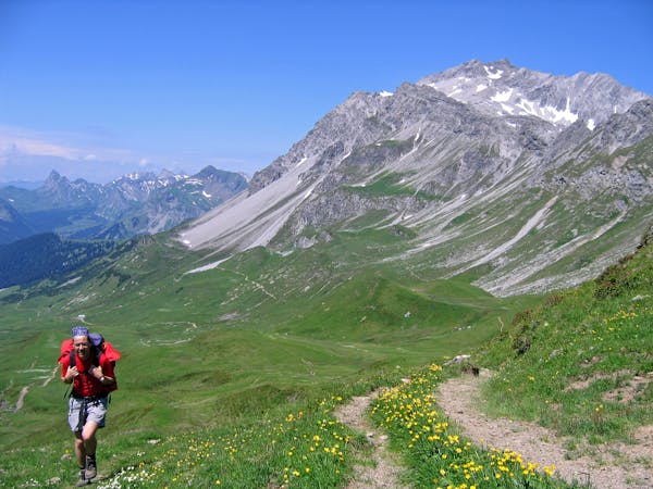
Hiking Moderate

Follow the Via Alpina Red section R56 from the bottom of Lichtenstein’s Feldkirch Valley up through mountain meadows in the direction of the mountain village of Amerlügen. From here climb up through woodlands to the panoramic hanging terrace of the Vorderälpele (also called the Amerlugalpe, 1,281m).
There are spectacular views out across the Walgau Region, all the way to the Große Walsertal Valley and northwards through the Rheintal Valley to Lake Constance. Carry on climbing past the Fedkirscher hut, and on through alpine meadows to the high altitude Sarojaalpe pass, ending your day at the Gafadura Hut.
Moderate
Hiking along trails with some uneven terrain and small hills. Small rocks and roots may be present.

The trail contains some obstacles such as outcroppings and rock which could cause injury.
Away from help but easily accessed.
5.9 km away
Day 2 of the 7 day Via Alpina hiking itinerary along the limestone cliffs of Rätikon.
Difficult Hiking
7 routes · Hiking