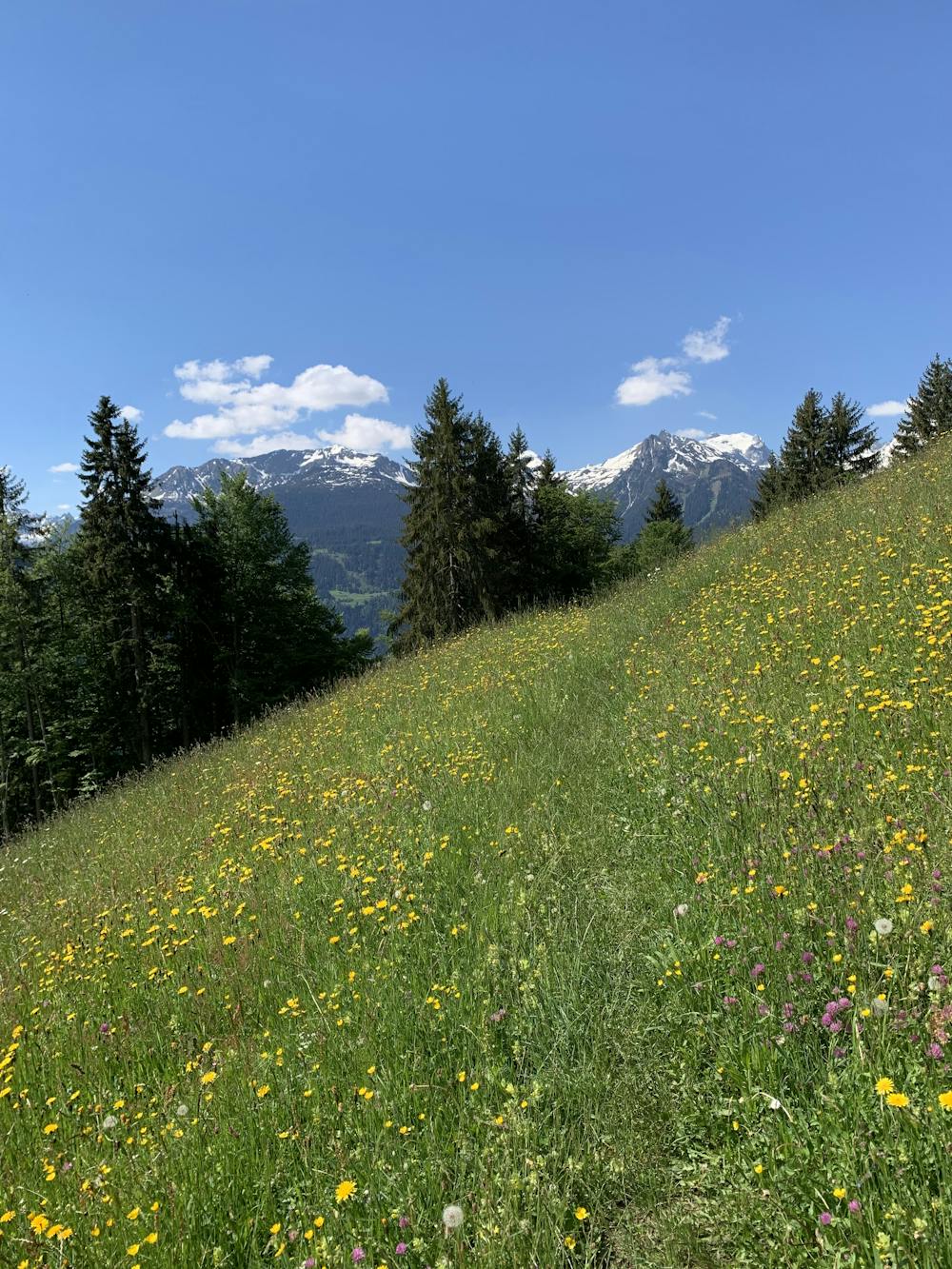
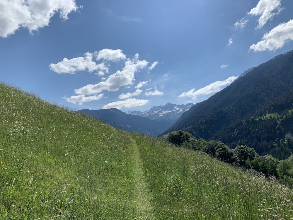
Panorama-Runde Schruns Innerberg
Traumhaftes Panorama und gut zu laufen.
Trail Running Moderate
- Distance
- 17 km
- Ascent
- 782 m
- Descent
- 783 m
- Duration
- 2-3 hrs
- Low Point
- 681 m
- High Point
- 1.4 km
- Gradient
- 10˚

This is a popular trail running route which is generally considered to be moderate. It's not remote, it features medium exposure and is typically done between March and December. From a low point of 681 m to the maximum altitude of 1.4 km, the route covers 17 km, 782 vertical metres of ascent and 783 vertical metres of descent.
- •
- •
- •
Description
Von Schruns auf den Innerberg und über den Höhenweg und Bartholomäberg zurück. Angenehme Steigung und tolles Panorama ins Silbertal, Verwall und Rätikon. Ideal für Einsteiger und alte Trailhasen.
Difficulty
Moderate
Medium Exposure

The trail contains some obstacles such as outcroppings and rock which could cause injury.
Remoteness

Close to help in case of emergency.