Itacolomi Peak
Iconic Peak in Ouro Preto, Brazil
Hiking Moderate
- Distance
- 15 km
- Ascent
- 974 m
- Descent
- 741 m
- Duration
- 4-5 hrs
- Low Point
- 986 m
- High Point
- 1.7 km
- Gradient
- 12˚

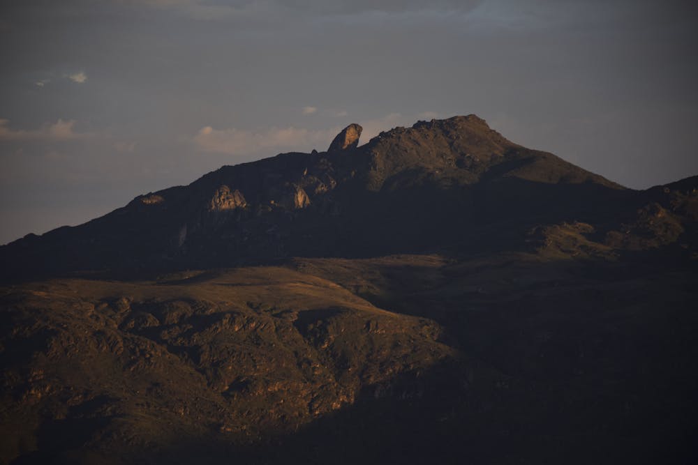
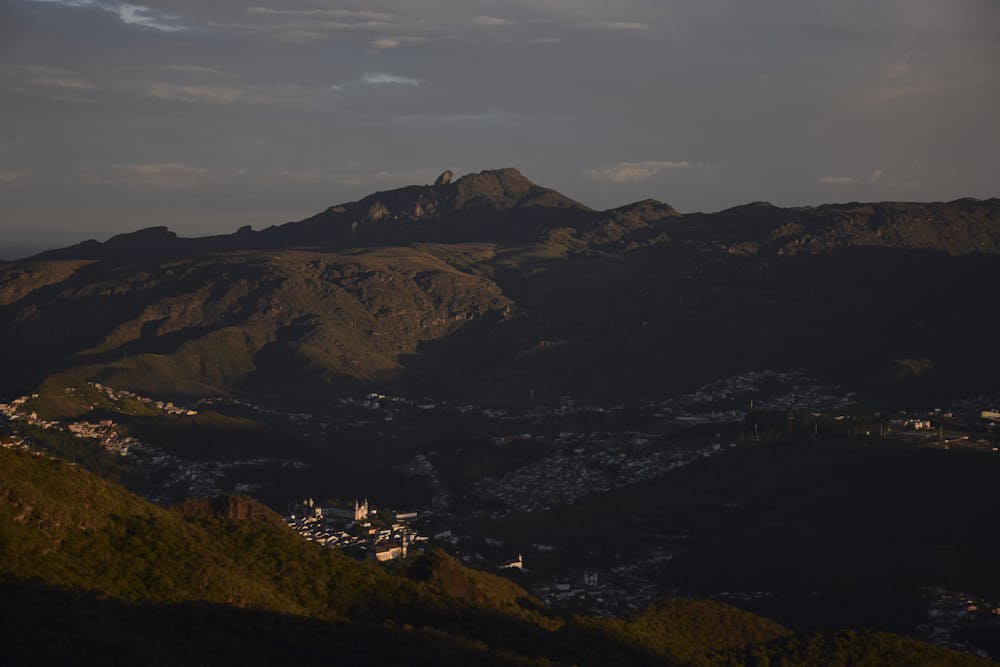
Itacolomi is a rock formation with an altitude of 1,772 m located on the border of the municipalities of Mariana and Ouro Preto, in Minas Gerais. It is inserted in the Itacolomi State Park.
- •
- •
Description
For the indigenous, the peak was seen as the "son of the mountain". It is easy to see this: a larger stone, with a smaller one beside it.
It was the landmark for locating gold mines by pioneers in the region. Thanks to the view provided by the Itacolomi peak, the bandeirante Antônio Dias de Oliveira was able to locate the Tripuí valley in 1698. The peak was the landmark for the bandeirantes who started the village of the Tripuí Valley, passing through Vila Rica, today Ouro Preto.
Difficulty
Moderate
Hiking along trails with some uneven terrain and small hills. Small rocks and roots may be present.
Low Exposure

The path is on completely flat land and potential injury is limited to falling over.
Remoteness

Away from help but easily accessed.
Best time to visit
Features
- Wildlife
- Picturesque
- Summit Hike
- Wild flowers
- Water features