Marins to Itaguaré Traverse
South side of Mantiqueira
Hiking Difficult
- Distance
- 16 km
- Ascent
- 1.3 km
- Descent
- 1.4 km
- Duration
- 5-6 hrs
- Low Point
- 1.5 km
- High Point
- 2.4 km
- Gradient
- 21˚

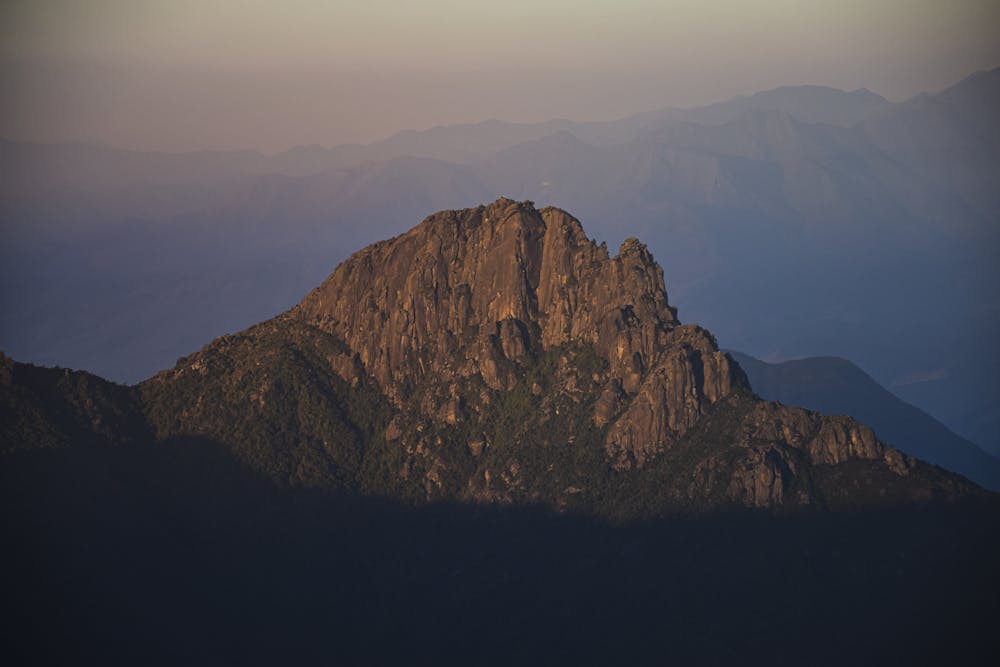
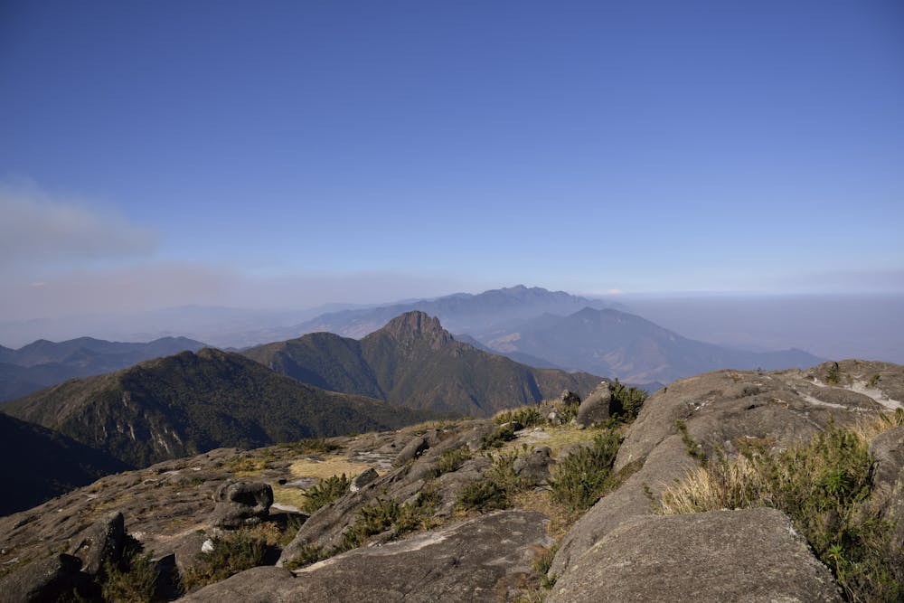
The Marins and Itaguaré peak are located on the south side of the Mantiqueira range, between Minas Gerais and São Paulo states borders.
- •
- •
- •
- •
- •
Description
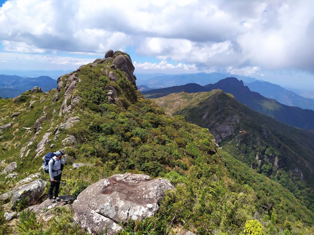
Marins was climbed for the first time in 1911. The trail to the summit is considered one of the most beautiful and preserved mountain trails in the country.
The trekking on the way up to the peak is considered medium to heavy high. You should always count on the help of guides to avoid getting lost on the trail.
This traverse runs along the entire ridge between the two peaks and is considered difficult due to the limited availability of water.
It can be done in one or two days.
Difficulty
Difficult
Hiking trails where obstacles such as rocks or roots are prevalent. Some obstacles can require care to step over or around. At times, the trail can be worn and eroded. The grade of the trail is generally quite steep, and can often lead to strenuous hiking.
Medium Exposure

The trail contains some obstacles such as outcroppings and rock which could cause injury.
Remoteness
Away from help but easily accessed.
Best time to visit
Features
- Wildlife
- Summit Hike
- Wild flowers
- Forestry or heavy vegetation