MTB - P. ALEGRE - S. RITA DO SAPUCAÍ - TERRA
MTB - POUSO ALEGRE - SANTA RITA - E. ANTIGA
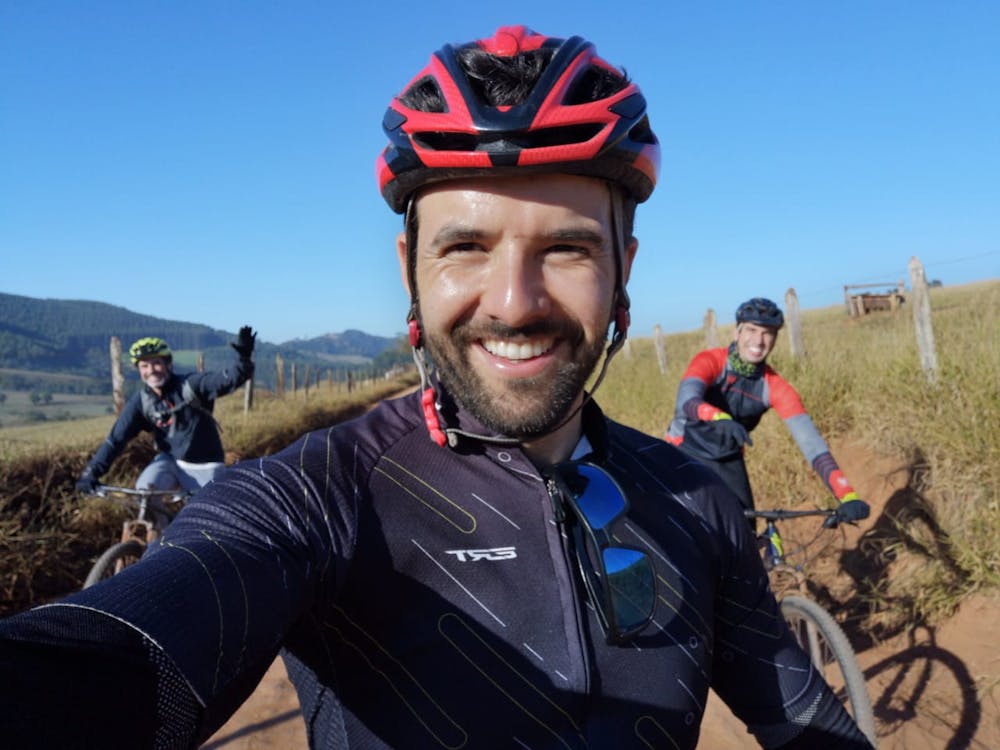
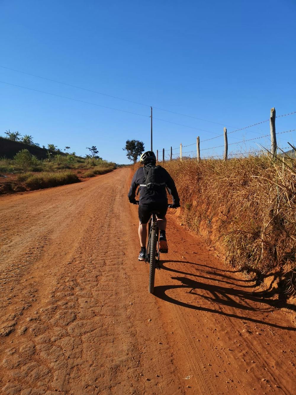
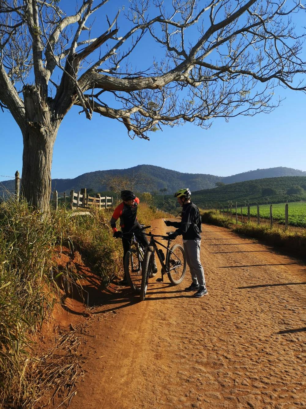
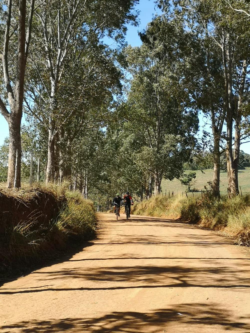
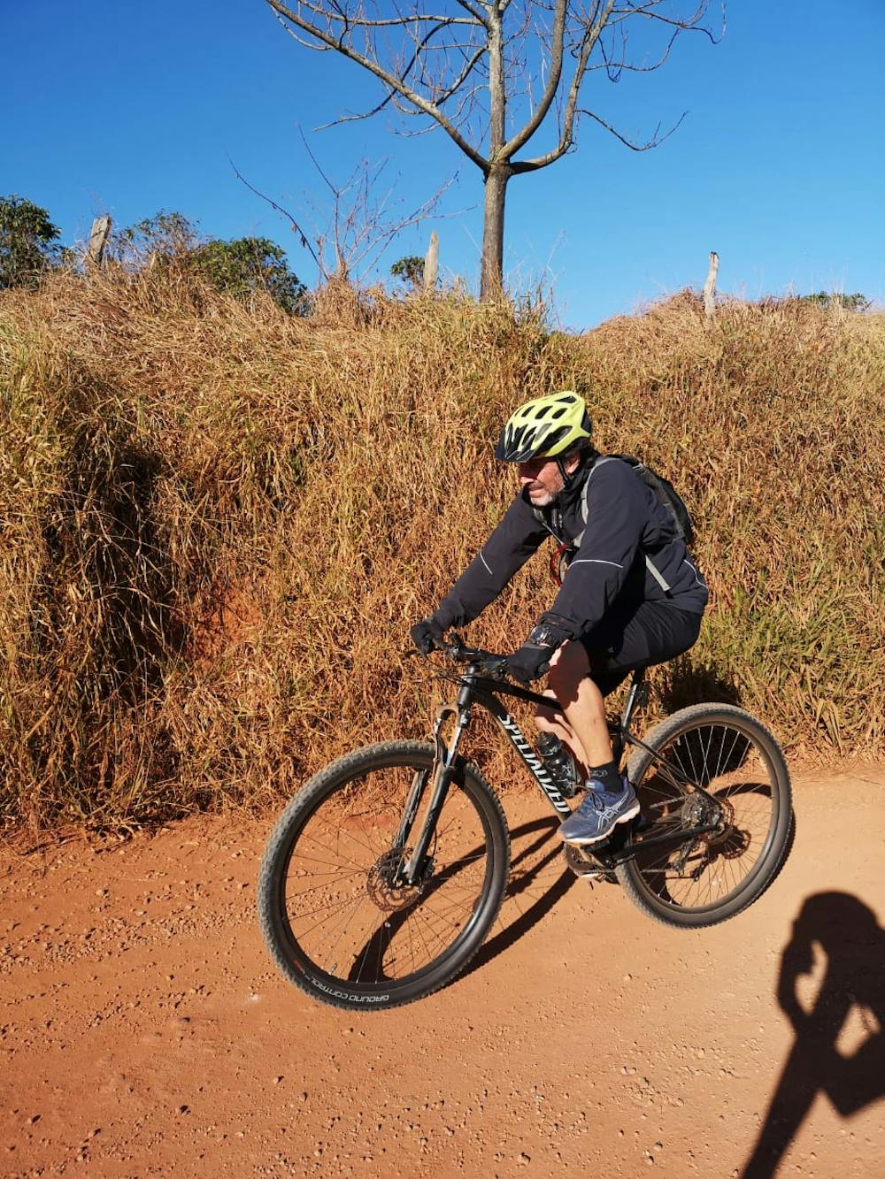
Mountain Biking Moderate
- Distance
- 22 km
- Ascent
- 408 m
- Descent
- 396 m
- Duration
- 1-2 hrs
- Low Point
- 811 m
- High Point
- 913 m
- Gradient
- 4˚

This is a popular mountain biking route which is generally considered to be moderate. It's not remote, it features medium exposure and is typically done all year round. From a low point of 811 m to the maximum altitude of 913 m, the route covers 22 km, 408 vertical metres of ascent and 396 vertical metres of descent.
- •
- •
- •
- •
- •
Description
Aventura de belíssimas paisagens, vale a pena...
Difficulty
Moderate
Mostly stable trail tread with some variability, with unavoidable obstacles 8in/20cm tall or less. Other obstacles such as rock gullies and steep sections may exist. Ideal for lower intermediate riders.
Medium Exposure

The trail contains some obstacles such as outcroppings and rock which could cause injury.
Remoteness

Close to help in case of emergency.
Best time to visit
Features
- Technical
- Picturesque
- Wet-weather friendly
- Jumps
- Tabletops
- Rock Gardens