Vihren hut - Banderishki chukar - Vihren hut
Bansko
One day hiking trip from Vihren hut to Banderishki chukar.
Hiking Moderate
- Distance
- 12 km
- Ascent
- 951 m
- Descent
- 946 m
- Duration
- 4-5 hrs
- Low Point
- 2 km
- High Point
- 2.7 km
- Gradient
- 15˚

This is a popular hiking route which is generally considered to be moderate. It's remote, it features high exposure and is typically done between June and September. From a low point of 2 km to the maximum altitude of 2.7 km, the route covers 12 km, 951 vertical metres of ascent and 946 vertical metres of descent.
- •
- •
- •
- •
Description
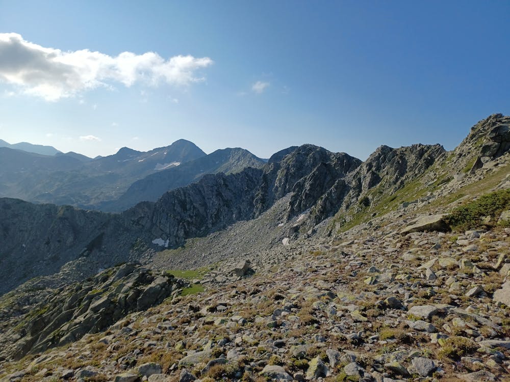
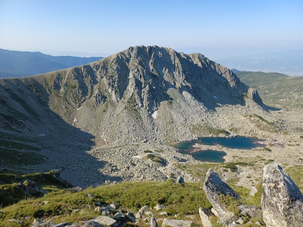
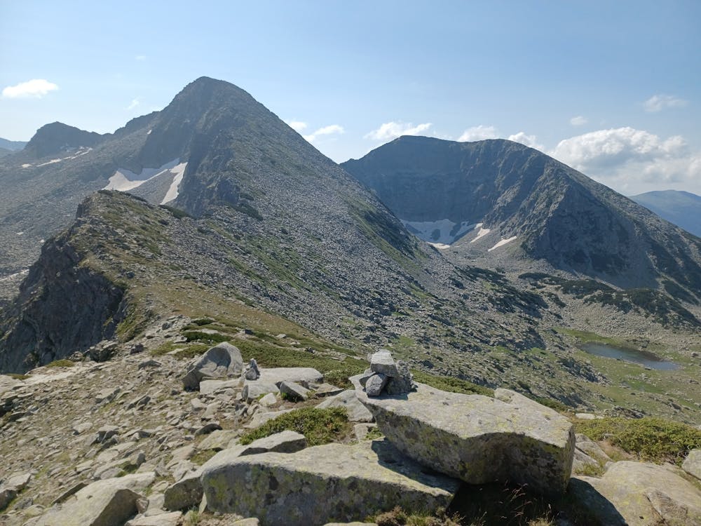
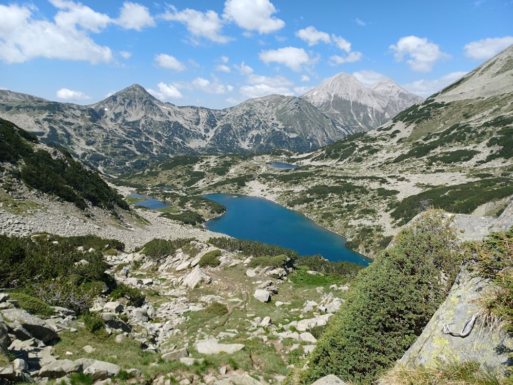
One day hiking trip from Vihren hut to Banderishki chukar via Karaulite. The descent to the hut took place shortly before Bashaliska porta (port).
Difficulty
Moderate
Hiking along trails with some uneven terrain and small hills. Small rocks and roots may be present.
High Exposure

Some trail sections have exposed ledges or steep ascents/descents where falling could cause serious injury.
Remoteness

Away from help but easily accessed.
Best time to visit
Features
- Alpine
- Picturesque
- Summit Hike