Skyladder
Jasper National Park
Mt Andromeda's most popular route
Alpine Climbing Difficult
- Distance
- 13 km
- Ascent
- 1.6 km
- Descent
- 1.6 km
- Low Point
- 2 km
- High Point
- 3.4 km
- Gradient
- 36˚
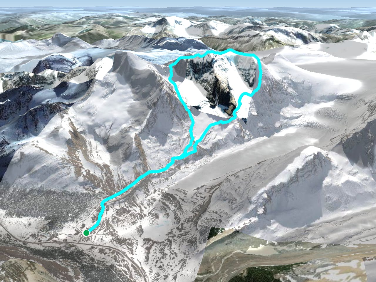
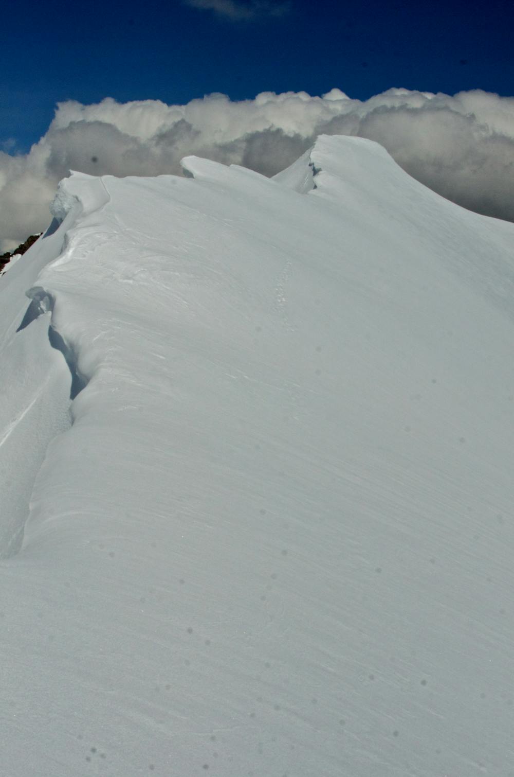
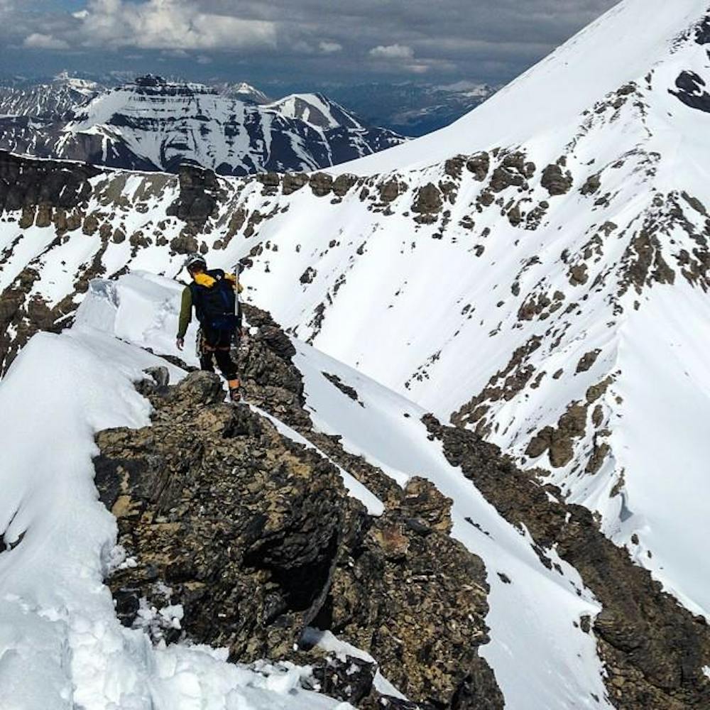
The Skyladder follow North facing ridge face on Mount Andromeda's western buttress. The route crosses over the heavily crevassed Andromeda glacier and heads straight up.
- •
- •
- •
- •
- •
- •
- •
- •
- •
- •
Description
The route begins at the climbers lot, and follows the Icefields Explorer Road to a faint trailhead just before the descent down to the Athabasca Glacier. Try and avoid disturbing operations to ensure the privilege of using this road remains.
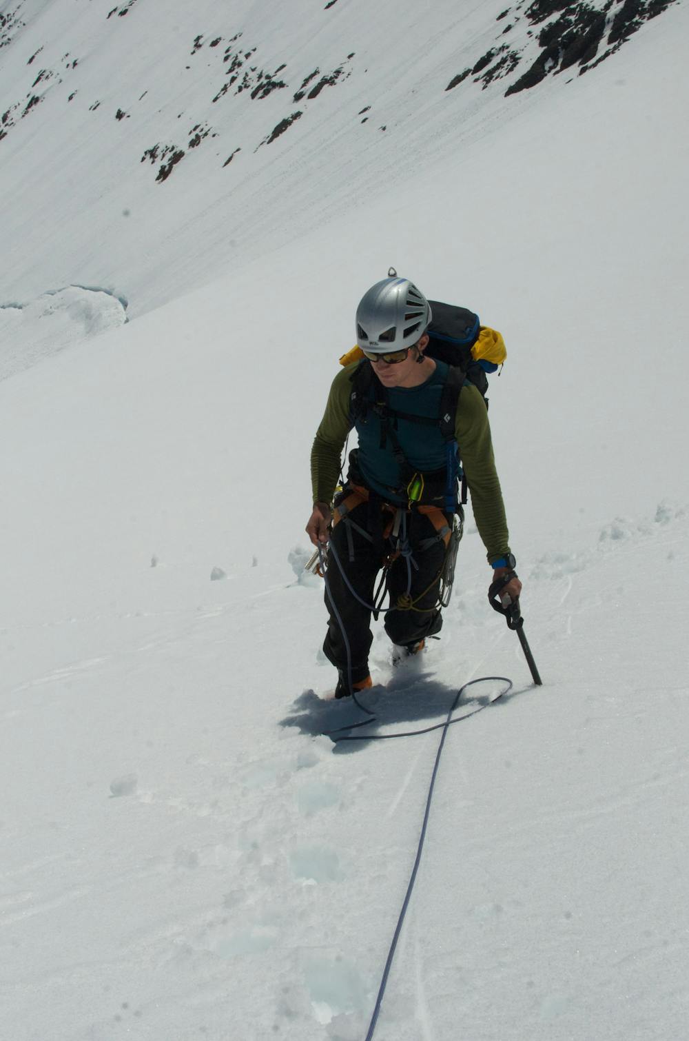
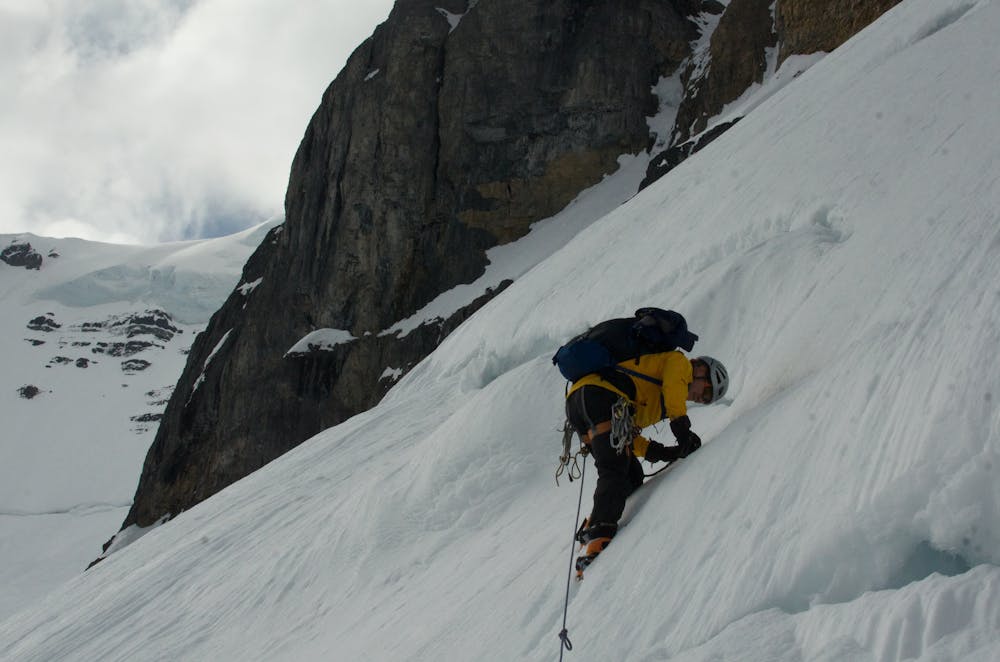
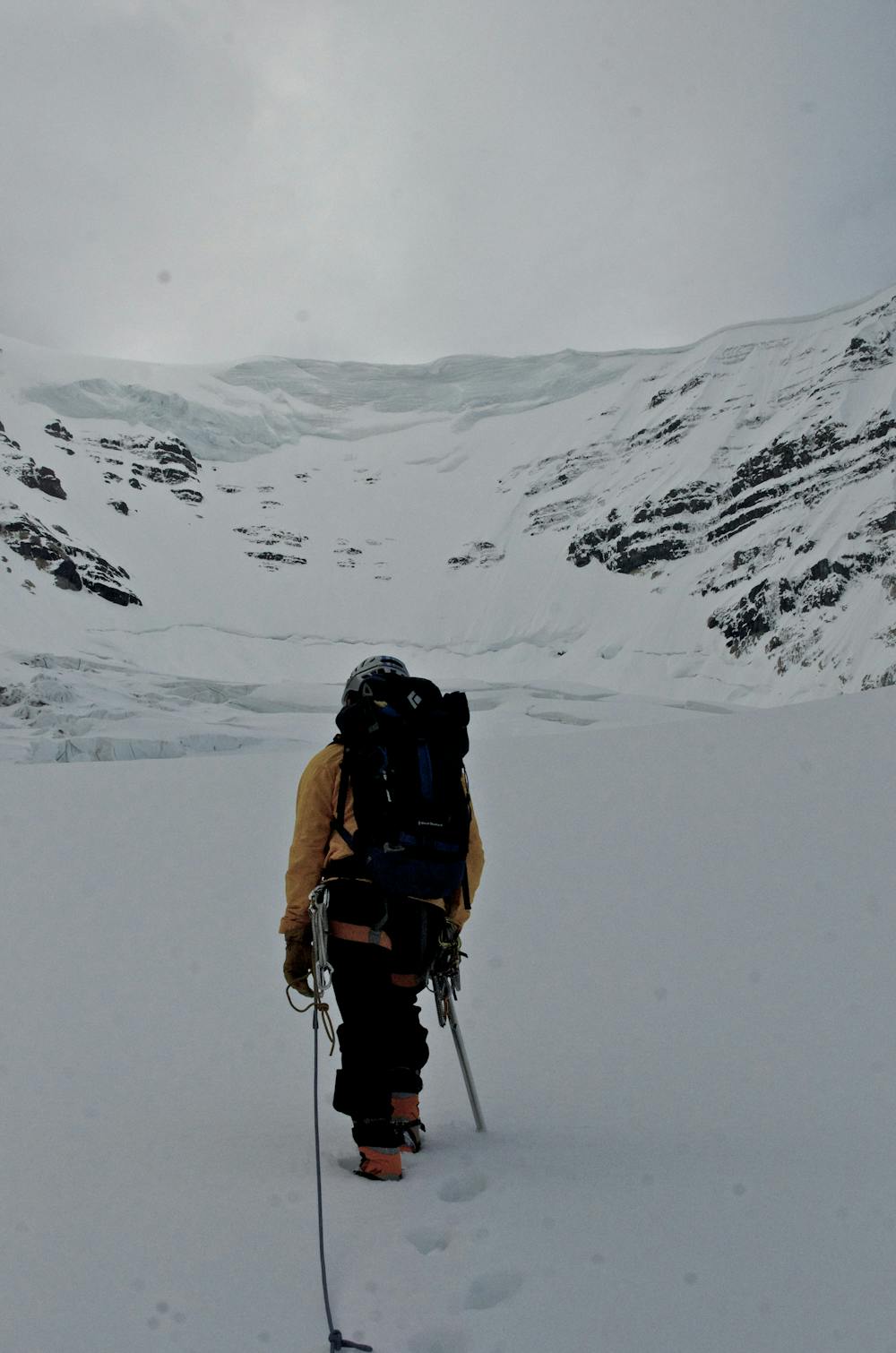
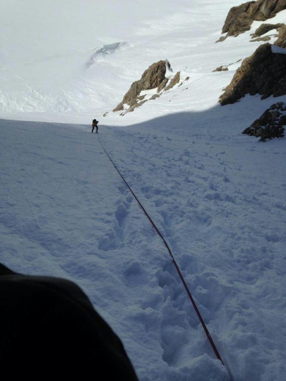
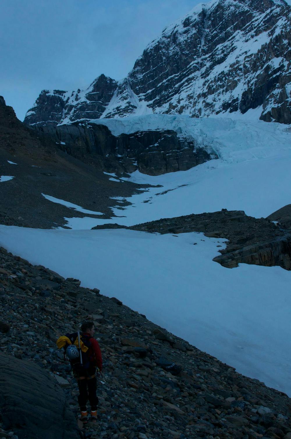
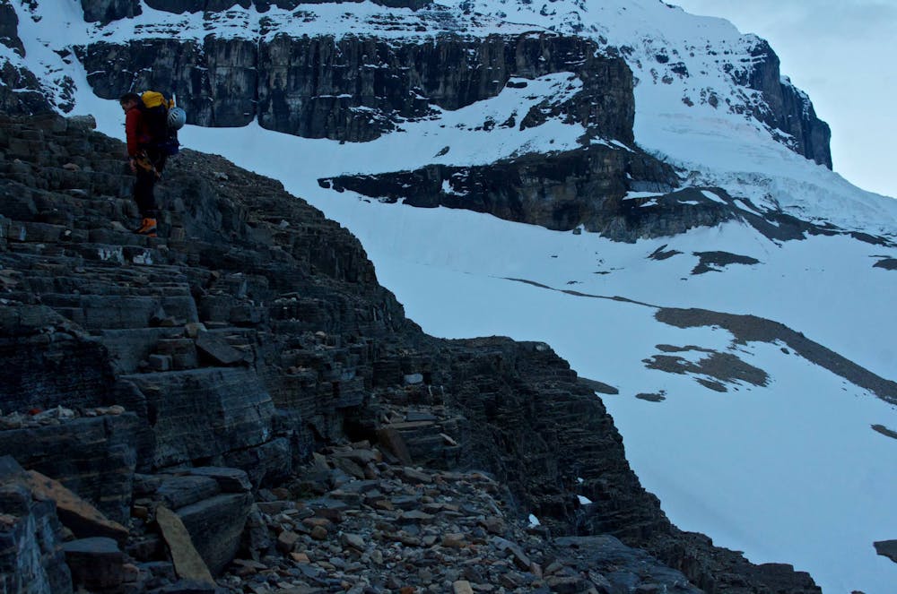
Almost immediately start traversing southward away from the more obvious trail to the AA Col. Work your way through short rock bands and moraines to the edge of the glacier. This part isn't too steep, but the crevasses are large and thick and great care must be taken to ensure safe travel. Each year the path changes, so do not rely on this GPS track. Cross the bergschrund at the base of the route. This is often the crux as it can get quite large later in the season. Some rock gear can be handy to avoid the steep ice. This is where having a second tool might be handy.
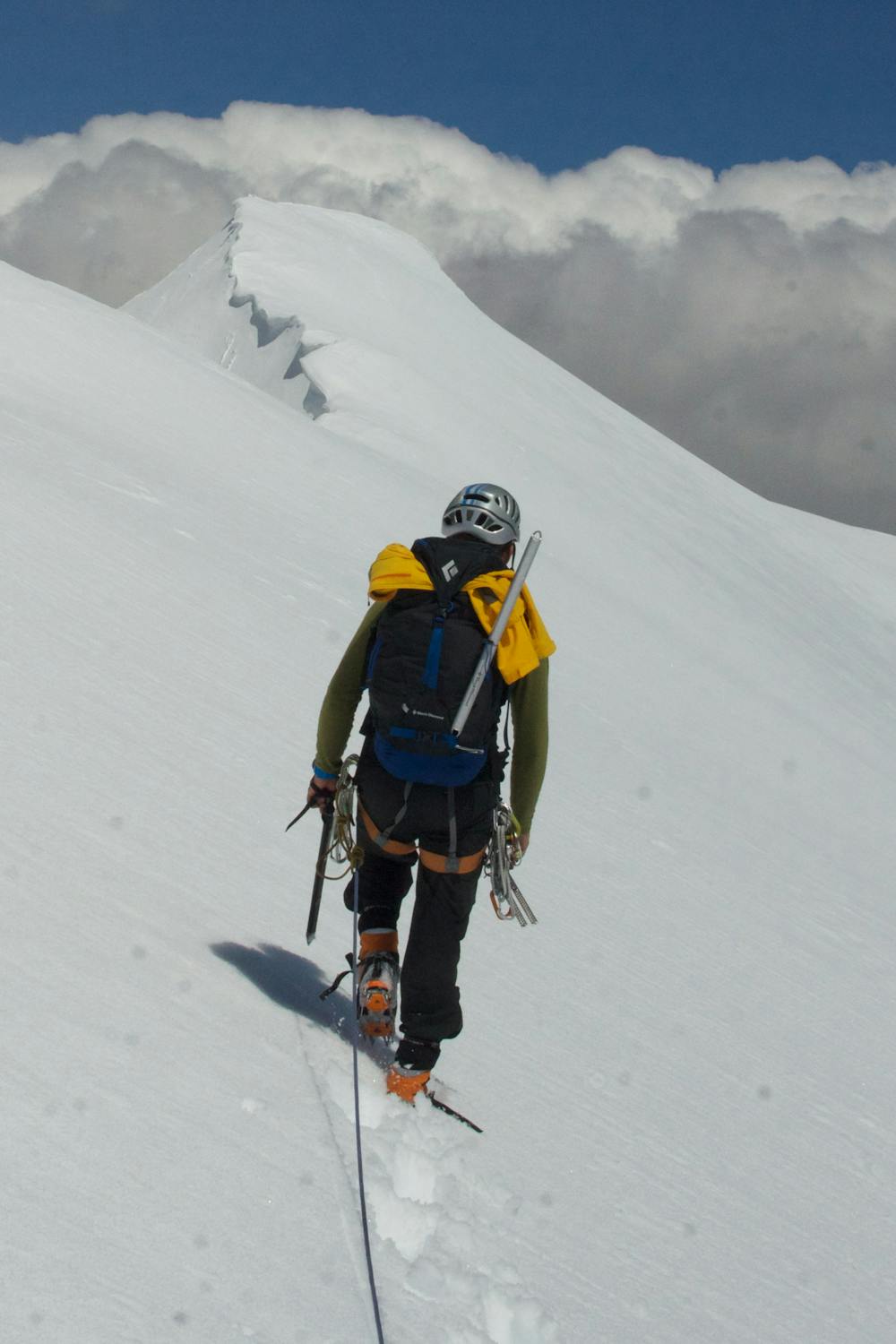
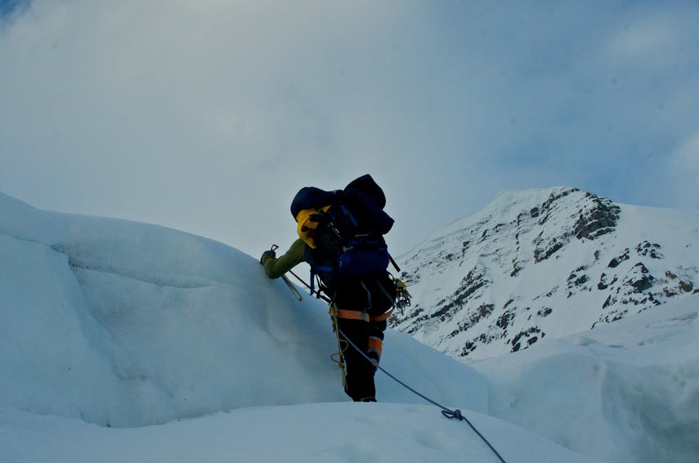
From here the route is somewhat steep and climbs upwards, and upwards. There are several good shelves to take cover in to catch your breath and have a drink. But do not wait to long as this route starts to get a lot of rockfall in the afternoon. The slope slowly grows less steep until you suddenly emerge on a broad ridge to the summit. Keep following this ridge to it's easternmost terminus above the AA col. The rock here is garbage even by rockies standards. There is old anchor tat here. 3m of cord would be advisable. Two or three raps with 60m ropes should get you to the slopes where walking becomes easier.
Cross to the eastern side of the glacier and connect with the AA Col route to descend. Keep an eye out for the trail and cairns that mark the notch down through the cliff band. From here there is a good trail back to the car park.
Difficulty
Difficult
The beginning of truly technical terrain which might involve pitched climbing on rock and/or ice, exposed terrain and complex route finding in ascent and descent. Equivalent to AD, AD+
High Exposure

Much of the route is difficult to protect and a fall could be disastrous at certain points.
Remoteness

Away from help but easily accessed.
Best time to visit
Equipment required
- Ice axe
- Crampons
- Glacier kit
- 2 Ice Axes