2.5 km away
Canmore Nordic Centre
An expansive trail system filled with delightful singletrack.
Difficult Mountain Biking
- Distance
- 23 km
- Ascent
- 697 m
- Descent
- 697 m
A quick flowy connector between CNC and Banff National Park
Mountain Biking Moderate

This is a popular mountain biking route which is generally considered to be moderate. It's an unknown remoteness, it features unknown exposure and is typically done in an unknown time of year. From a low point of 1.4 km to the maximum altitude of 1.5 km, the route covers 3.1 km, 65 vertical metres of ascent and 98 vertical metres of descent.
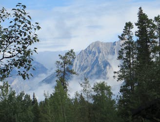
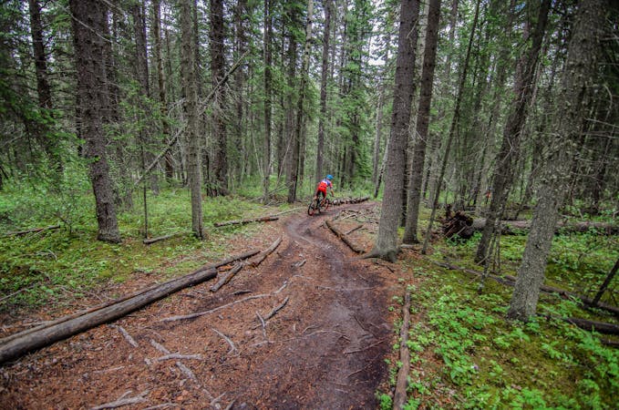
The Rundle Riverside Connector is a fun and flowy singletrack trail connecting EKG and the Canmore Nordic Center to the Rundle Riverside trail.
Moderate
Mostly stable trail tread with some variability, with unavoidable obstacles 8in/20cm tall or less. Other obstacles such as rock gullies and steep sections may exist. Ideal for lower intermediate riders.
2.5 km away
An expansive trail system filled with delightful singletrack.
Difficult Mountain Biking
5 km away
A perfect after-work lap on loamy, rooty singletrack.
Moderate Mountain Biking
5 km away
Accessible from town, this trail quickly can turn into a backcountry epic.
Difficult Mountain Biking
8.4 km away
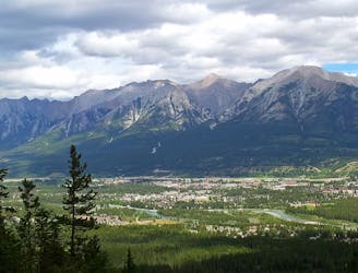
Traverse high above the town of Canmore on the Highline Trail.
Difficult Mountain Biking
6 routes · Mountain Biking