3.4 km away
Twin Towers
This scramble of Heart Mountain with an extension towards the Twin Towers is a technical and difficult scramble.
Severe Trail Running
- Distance
- 13 km
- Ascent
- 1.3 km
- Descent
- 1.3 km
Quick and close to the city but difficult footing
Trail Running Difficult

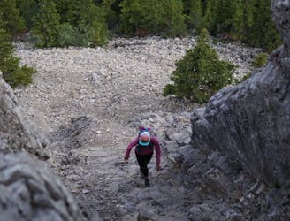
Park at Grotto pond where you will head through the trees and start making your way up. Make sure you take the trail that heads up and stays on the spine or ridge of the mountain. You dont want to take the trail into the valley or river bed.
The hike is straight forward if you are paying attention you can see the trail and where you need to go. You have some options to pick your own route if needed. It is steep and there are loose rocks which makes it hard to keep a steady pace.
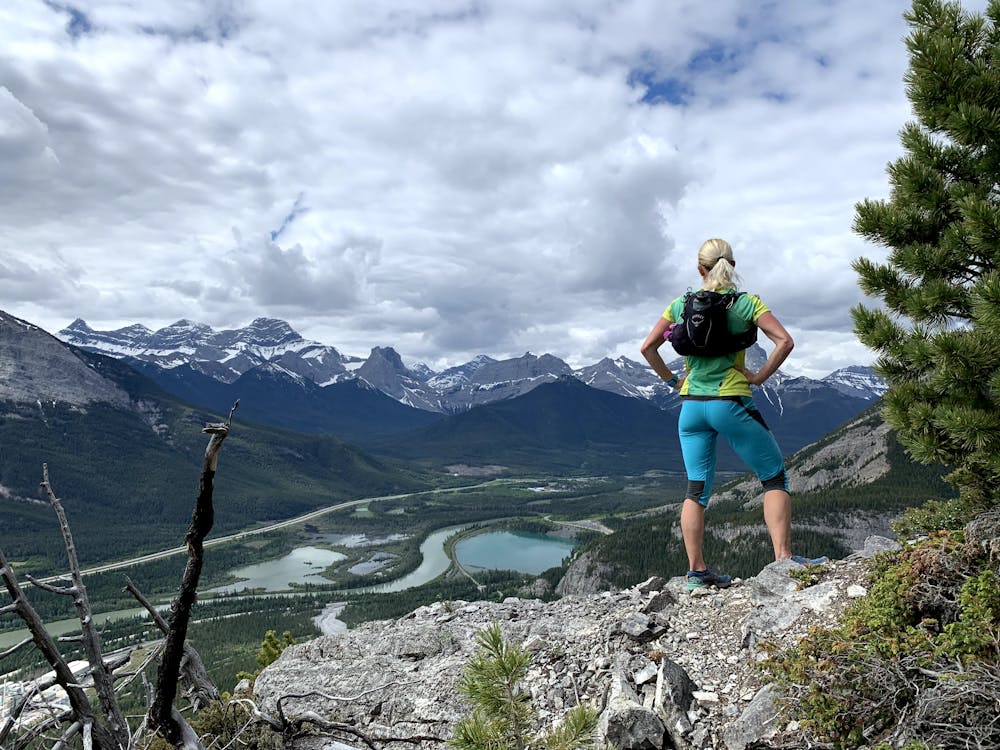
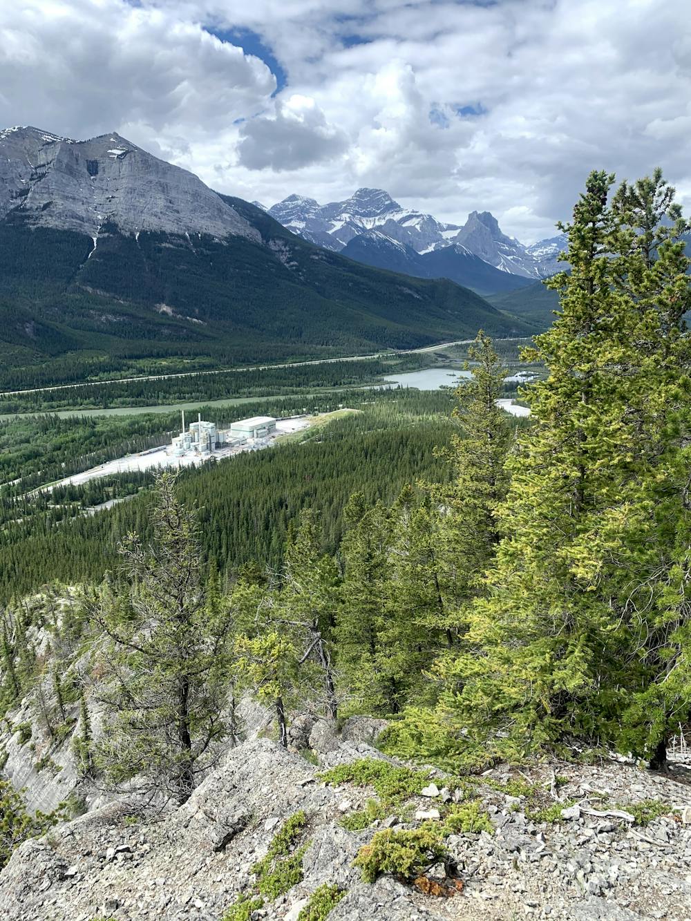
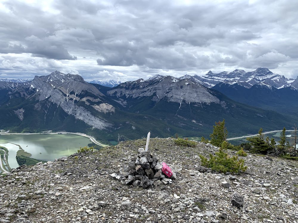
The views are worth it and this is a great spot so close to the city.
Difficult

The trail contains some obstacles such as outcroppings and rock which could cause injury.
Away from help but easily accessed.
3.4 km away
This scramble of Heart Mountain with an extension towards the Twin Towers is a technical and difficult scramble.
Severe Trail Running