Mount Victoria East Ridge
Yoho National Park
O'Hara Approach to the Summit of Mount Victoria
Alpine Climbing Moderate
- Distance
- 13 km
- Ascent
- 1.5 km
- Descent
- 1.5 km
- Low Point
- 2 km
- High Point
- 3.4 km
- Gradient
- 29˚

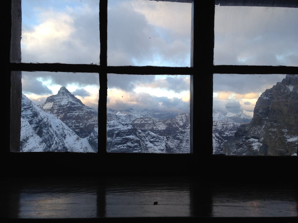
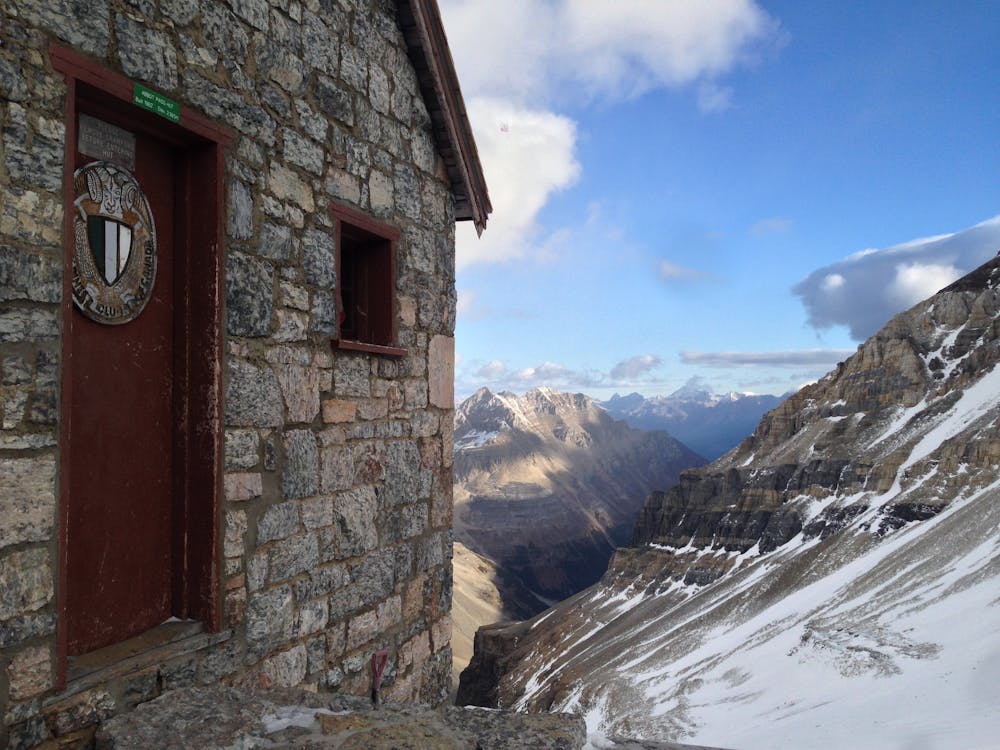
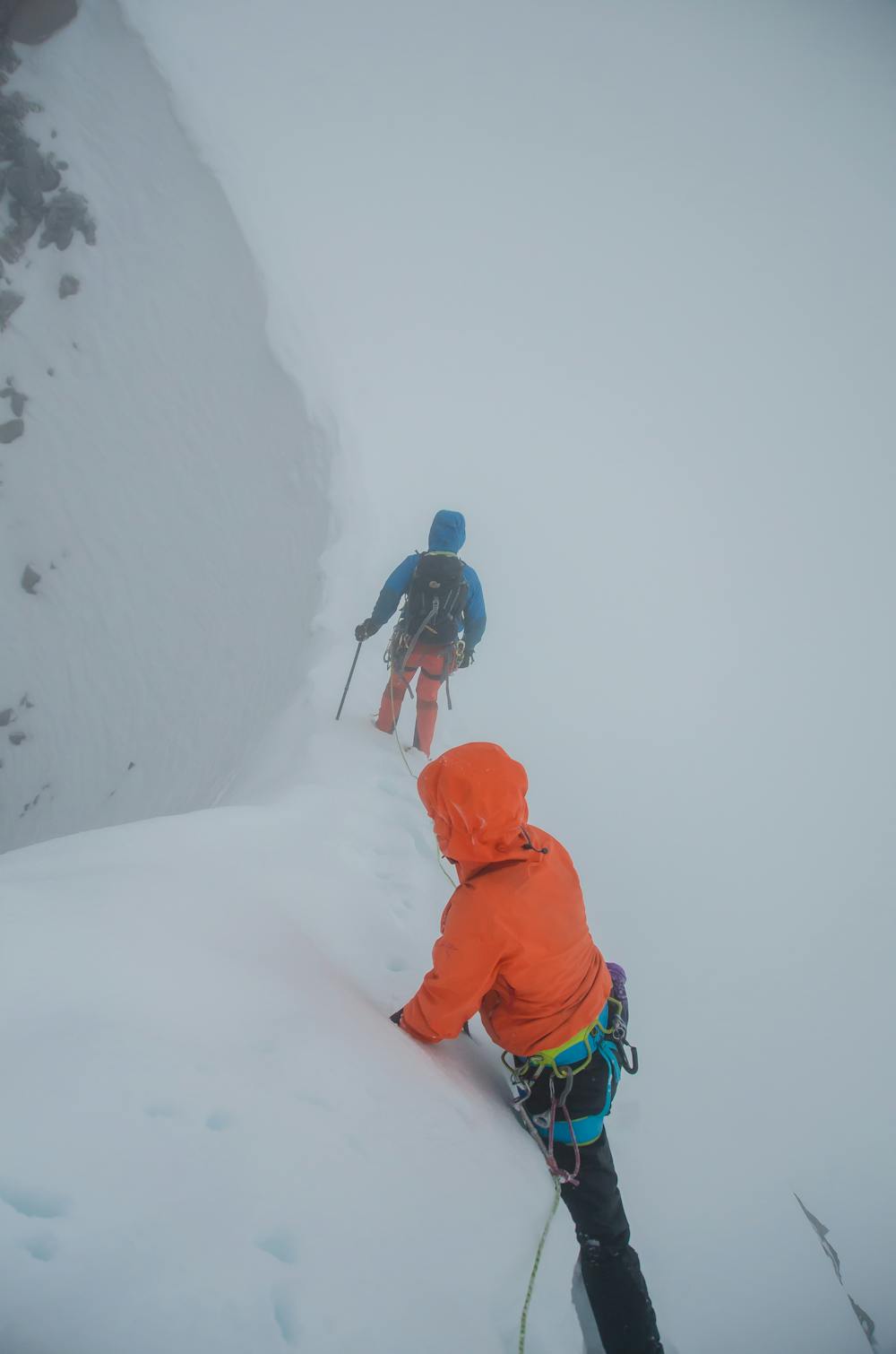
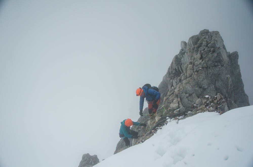
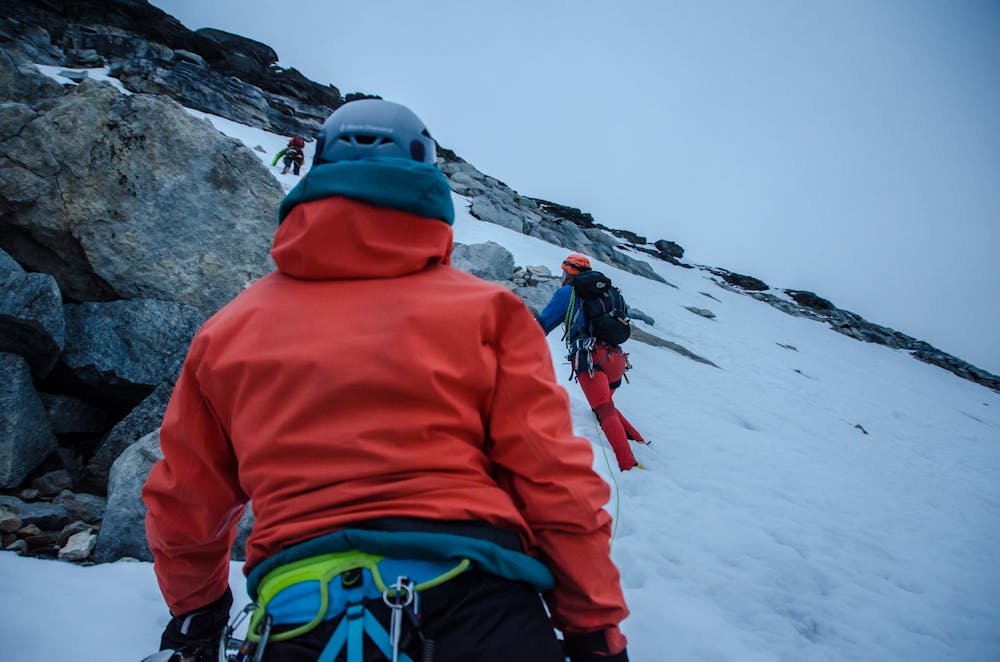
The route starts right behind the Abbott Pass hut. From here it's a short hike before arriving at a band of black rock. There is a weakness in the rock that simple steps and 3rd class terrain are easily passed. This is the only tricky route-finding of the whole route. The rock is descent by rockies standards, but visitors might find it loose. The route quickly gets less steep above this and becomes 2nd class. Depending on conditions and the amount of snow this section can feel quite exposed, or very straight forward.
- •
- •
- •
- •
- •
- •
- •
- •
Description
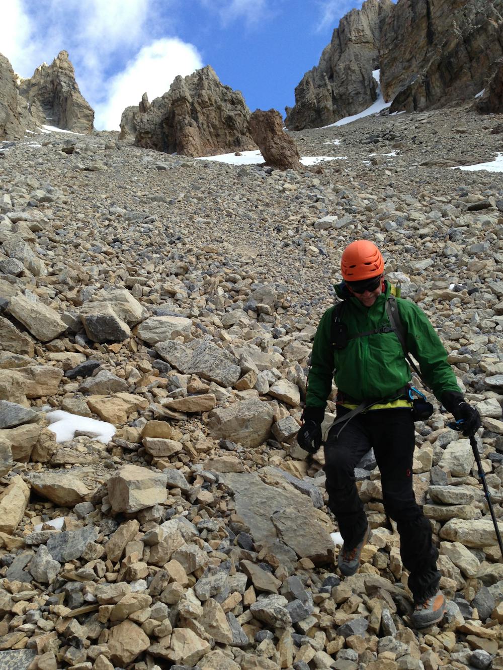
The ridge ascends before tappering off. Just past this is the infamous sickle. In snowy conditions this can be straight forward, but when dry it can be a nerve racking icy down climb. On the other side of the sickle is a tricky rock scramble. From here the ridge goes slowly. Often it is easy 2nd class exposed scrambling, but at other times it is 3rd or 4th class moves up short sections. These sections are few and far between, and can easily be pitched out. The challenge is that pitching the route out will add a lot of time to the ascent.
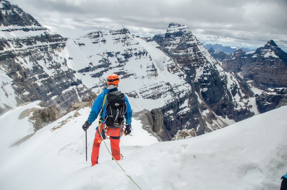
Eventually you reach the summit. You can return the way you came. Many who move quickly elect to descend a short gulley onto the Huber Glacier, and climb Mt Huber at the same time, and knock off two 11,000ers at the same time.
Difficulty
Moderate
May involve slightly more complex glacier hikes, easy but possibly long rock ridges and steep snow up to 45 degrees. Equivalent to PD, PD+
Extreme Exposure

The majority of the route is "no fall" terrain.
Remoteness

Away from help but easily accessed.
Best time to visit
Equipment required
- Ice axe
- Crampons
- Wires and Friends