8.5 km away
Watersprite Lake Hike
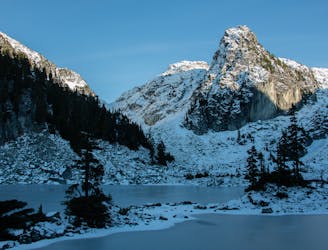
Excellent views, easy trail navigation
Moderate Hiking
- Distance
- 8.3 km
- Ascent
- 700 m
- Descent
- 44 m
Classic overnight or day trip along Garabaldi's second most popular trail.
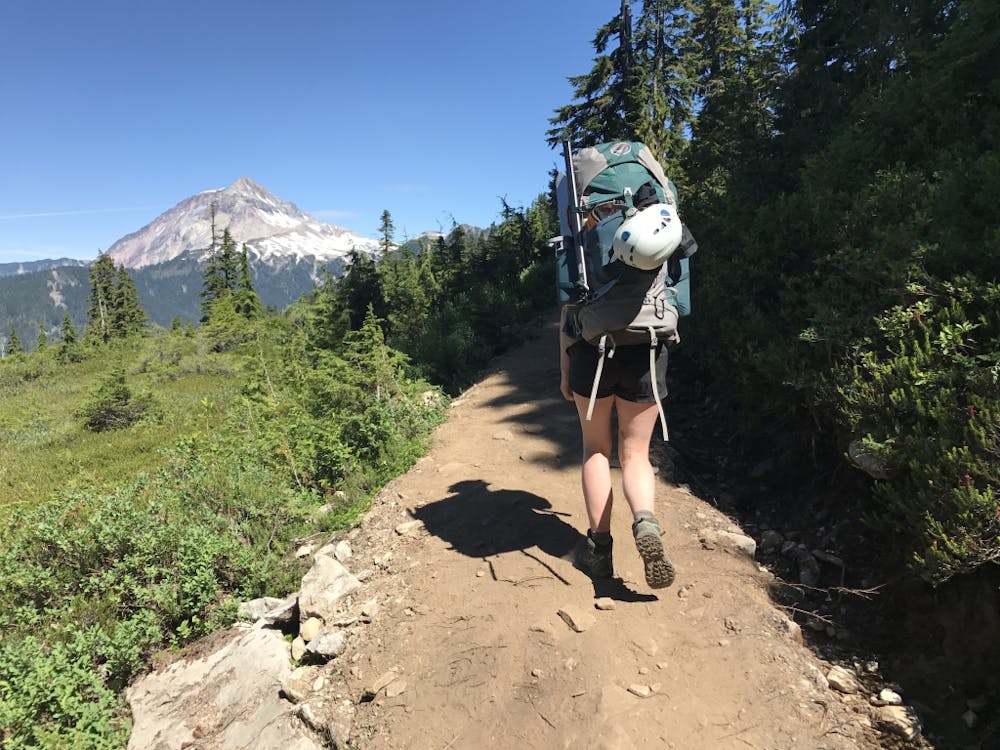
Hiking Moderate

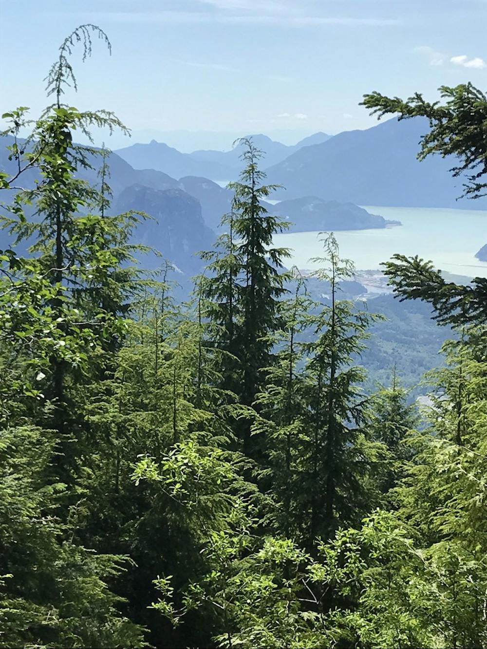
Elfin Lakes is a beautiful ridgeline hike. Much of the trail is gravel road, but the spectacular views of the Tantalus range on one side, the Mamquam range on the other make up for the mediocre views underfoot.
The trailhead can be a bit tricky to find. There are signs posted, but they are easy to miss. Behind the Quest campus a dirt road (Garabaldi Park Road) heads up hill above a creek. Take the second left turn to the terminus.
The trail is a wide road through the woods. Eventually the trees thin, and there are option to take single track detours off the main trail. These tend to be worth taking. Keep following this trail along the ridge until you get to the Elfin Lake Shelter. Enjoy brilliant views of Mt Atwell Garabaldi, and the Gargoyles.
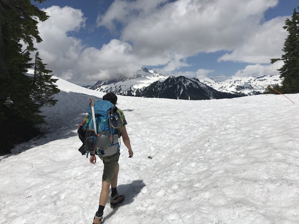
Moderate
Hiking along trails with some uneven terrain and small hills. Small rocks and roots may be present.

The path is on completely flat land and potential injury is limited to falling over.

Away from help but easily accessed.
8.5 km away
Excellent views, easy trail navigation
Moderate Hiking

6 routes · Hiking