Enderby Cliffs
One of the most spectacular hikes in the Okanagan!
Hiking Moderate
- Distance
- 13 km
- Ascent
- 729 m
- Descent
- 729 m
- Duration
- 3-4 hrs
- Low Point
- 464 m
- High Point
- 1.2 km
- Gradient
- 9˚

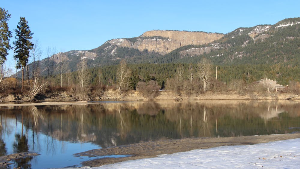
The Enderby Cliffs hike begins from the parking lot in Brash Allen Road, at the trailhead on the edge of the Enderby Cliffs Provincial Park. There is a large information board in the parking lot with details on the length of the hike and how it can be extended. Looking up to the dramatic cliffs themselves, you can see your destination, high above the trees and along the cliff top. The hike from the trailhead to the summit is 7km long, with just over 700m of height gain. Allow 4 hours for a return from the trailhead to the summit.
- •
- •
Description
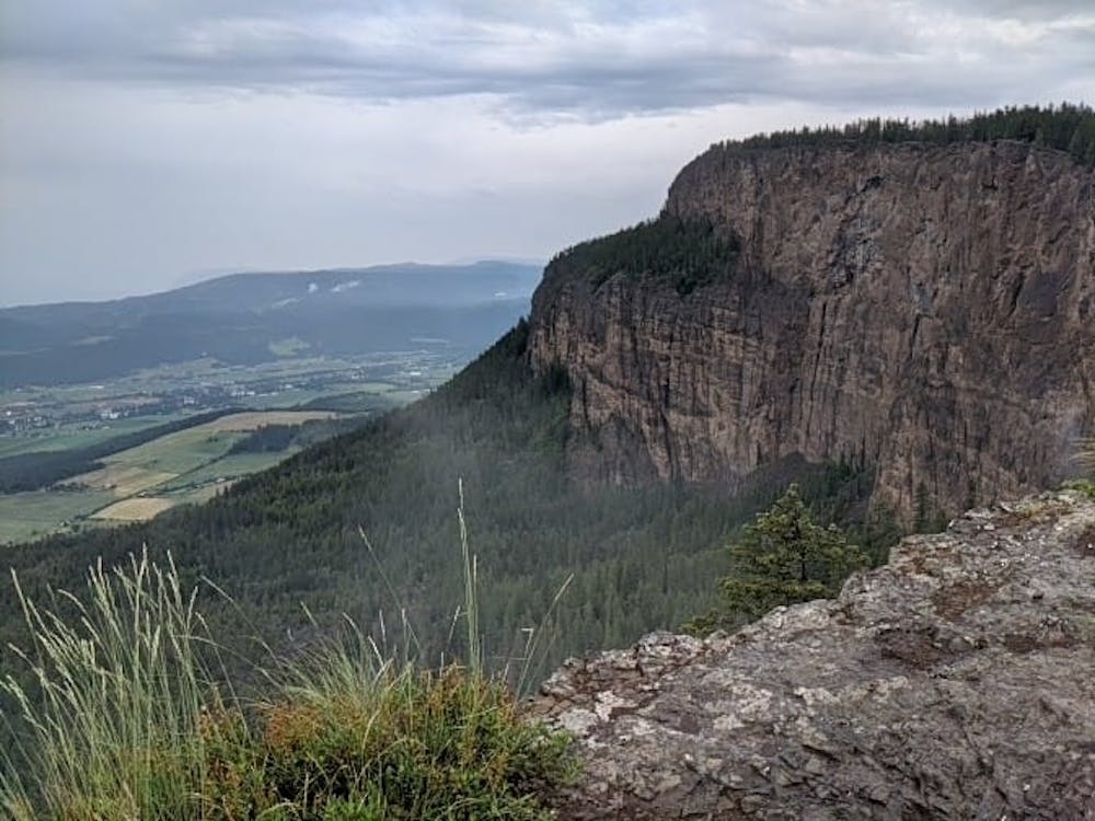
The trail is popular with both locals and tourists, and as such, it is well-maintained and well-signposted. The path winds up through fairly dense forest, meaning that you can stay shaded in the summer months and the tree cover also provides remarkable protection in heavy rain! The elevation is gradual and never too steep, providing level sections just where you need them. You will hike through beautiful forest, passing 2 lovely viewpoints across the valley below and the spectacular meanders of the Shuswap River. After around 1.5 hours you will emerge out of the forest and on to the plateau, providing epic views across the cliffs themselves. Another 1km gentle climb along the cliff top will bring you to the summit at 1150m elevation.
From here, descend the same way, or if you wish to extend the hike, you can continue on to picturesque Reeves Lake, which is another 5km there and back from the cliffs. The trail is a little more rough and rocky from here, but still straightforward, and you’re very unlikely to see many other people.
Regardless of whether you continue to Reeves Lake, the route back to the car is the same way you came up. Retrace your steps back down, enjoying the forest ambience all the way.
Difficulty
Moderate
Hiking along trails with some uneven terrain and small hills. Small rocks and roots may be present.
High Exposure

Some trail sections have exposed ledges or steep ascents/descents where falling could cause serious injury.
Remoteness

Away from help but easily accessed.
Best time to visit
Features
- Wildlife
- Picturesque
- Summit Hike