1 m away
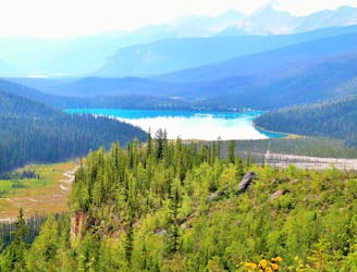
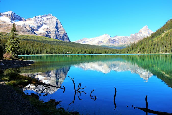
Hamilton Lake
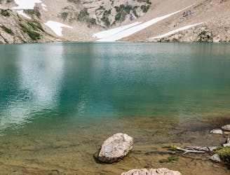
A strenuous hike to a secluded lake, for those who love solitude.
Difficult Hiking
- Distance
- 9.6 km
- Ascent
- 850 m
- Descent
- 850 m
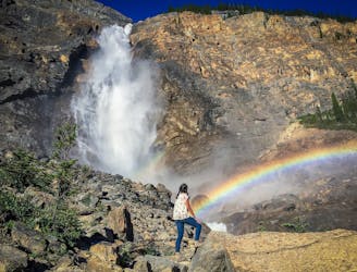
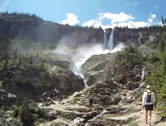
Forest hike to a modest waterfall.
Hiking Moderate

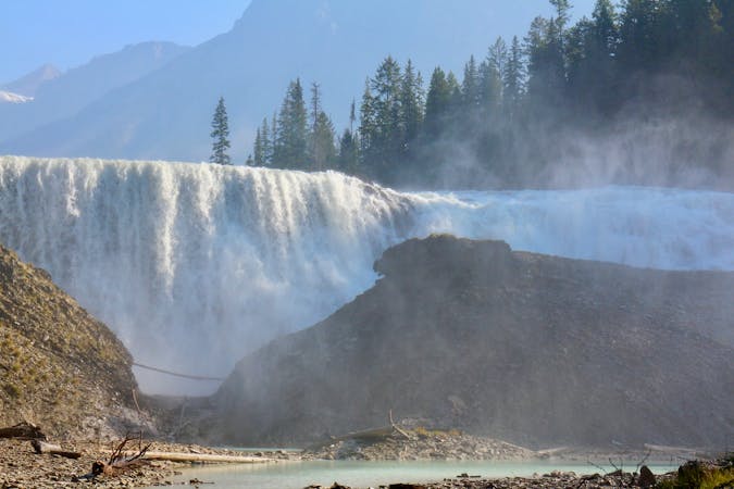
In a national park famous for its waterfalls, Hamilton Falls is relatively unimpressive, but it’s a unique little cascade with some history, and it’s easy to reach from Emerald Lake. If you’ve had your fill of other hikes around the lake, or just want something quick but uncrowded, Hamilton Falls makes a pleasant, short outing. The waterfall is best to look at in early summer when it’s flowing strongly. Later in the summer, it reduces to a meager flow.
It’s an uphill stroll through the forest, following signs for Hamilton Lake/Falls. Hamilton Lake is a much more strenuous hike that continues past the waterfall. Look for the side trail to the falls, and you can scramble down to the creek bed for a better look. You’ll find the ribbon of water pouring through a deep groove and into a rock-filled pool. The concrete wall that forms this pool is the remnant of a small-scale hydropower project, and you may find other artifacts if you look around closely.
Sources: https://www.pc.gc.ca/en/pn-np/bc/yoho/activ/randonnee-hike/courte-short https://hikingwithbarry.com/2013/12/10/hamilton-falls-yoho-national-park-hiking-british-columbia
Moderate
Hiking along trails with some uneven terrain and small hills. Small rocks and roots may be present.

The trail contains some obstacles such as outcroppings and rock which could cause injury.
Away from help but easily accessed.
1 m away
A strenuous hike to a secluded lake, for those who love solitude.
Difficult Hiking
74 m away
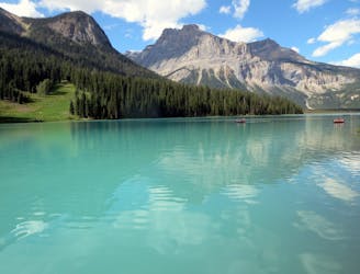
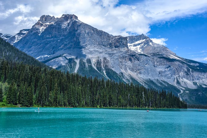
A peaceful stroll around the shore of a stunning alpine lake.
Easy Hiking
138 m away
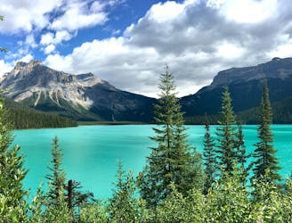
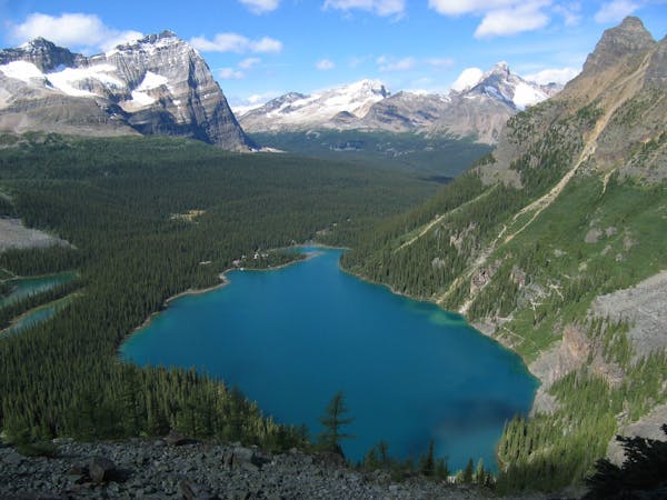
Hands-down one of Yoho’s best all-day hikes, this loop combines the scenic shore of Emerald Lake with high-elevation vantage on the Wapta Highline.
Difficult Hiking
7.7 km away
Short walk to a better view of Yoho's tallest waterfall.
Easy Hiking
7.7 km away
Hike over Yoho Pass to link some of the park’s most iconic sights in half a day.
Difficult Hiking
7.7 km away
Yoho’s best trek for waterfall viewing, making a challenging one-day or overnight circuit.
Difficult Hiking
4 routes · Hiking
4 routes · Hiking
7 routes · Hiking
5 routes · Hiking