196 m away
Mt Harvey - Southwest Ridge
A steep hike, with an easy scramble to the summit
Severe Hiking
- Distance
- 13 km
- Ascent
- 1.6 km
- Descent
- 1.6 km
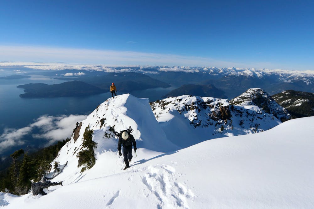
A steep climb with an short, but thrilling narrow exposed ridge to a beautiful summit.
Hiking Extreme

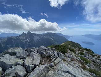
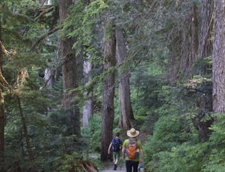
Mt Brunswick is a classic entry-level scramble. Like most North Shore peaks it's a steep climb that levels off slightly near the summit.

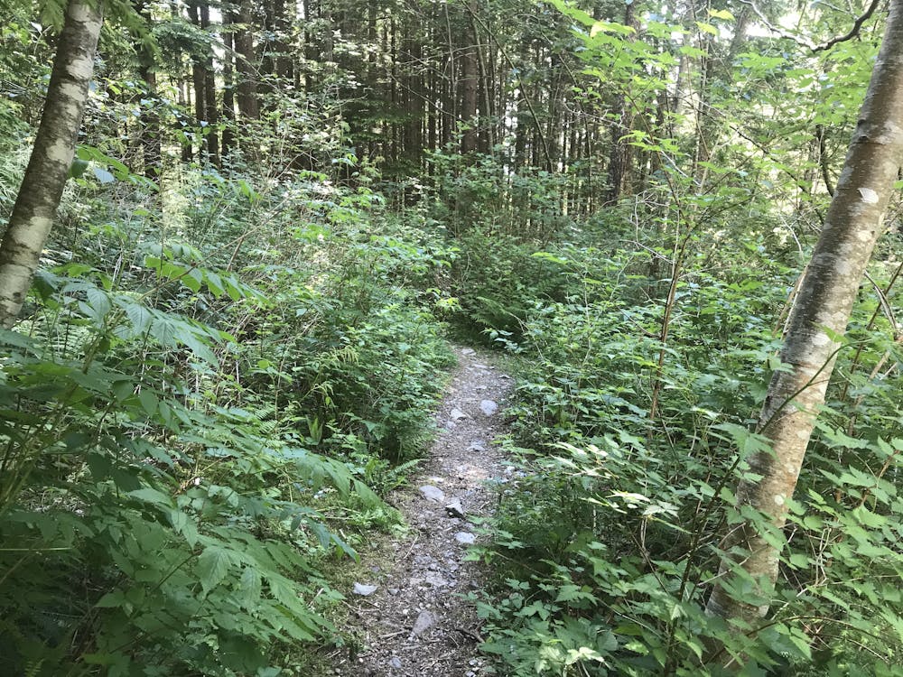
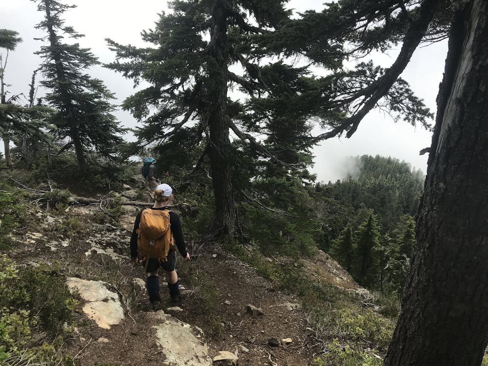
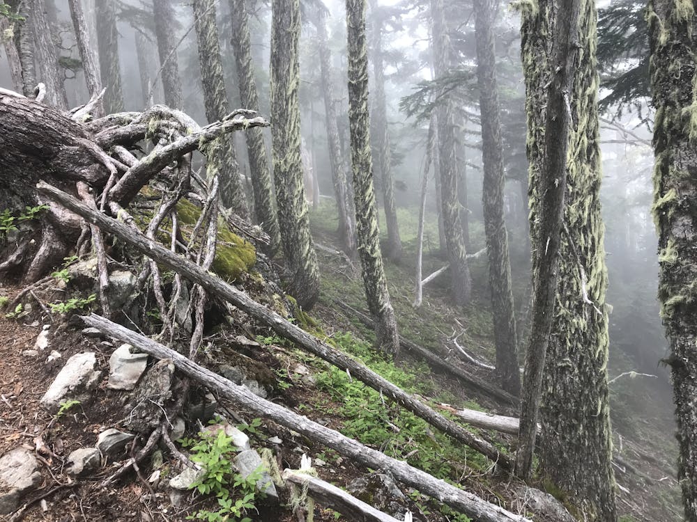
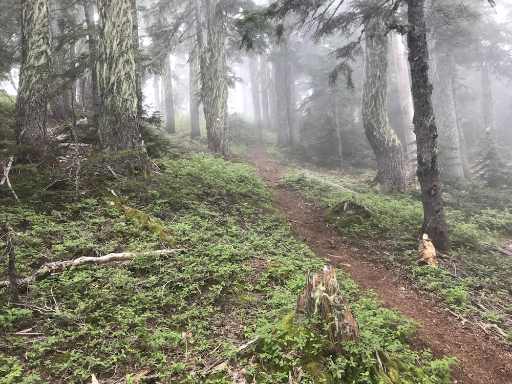

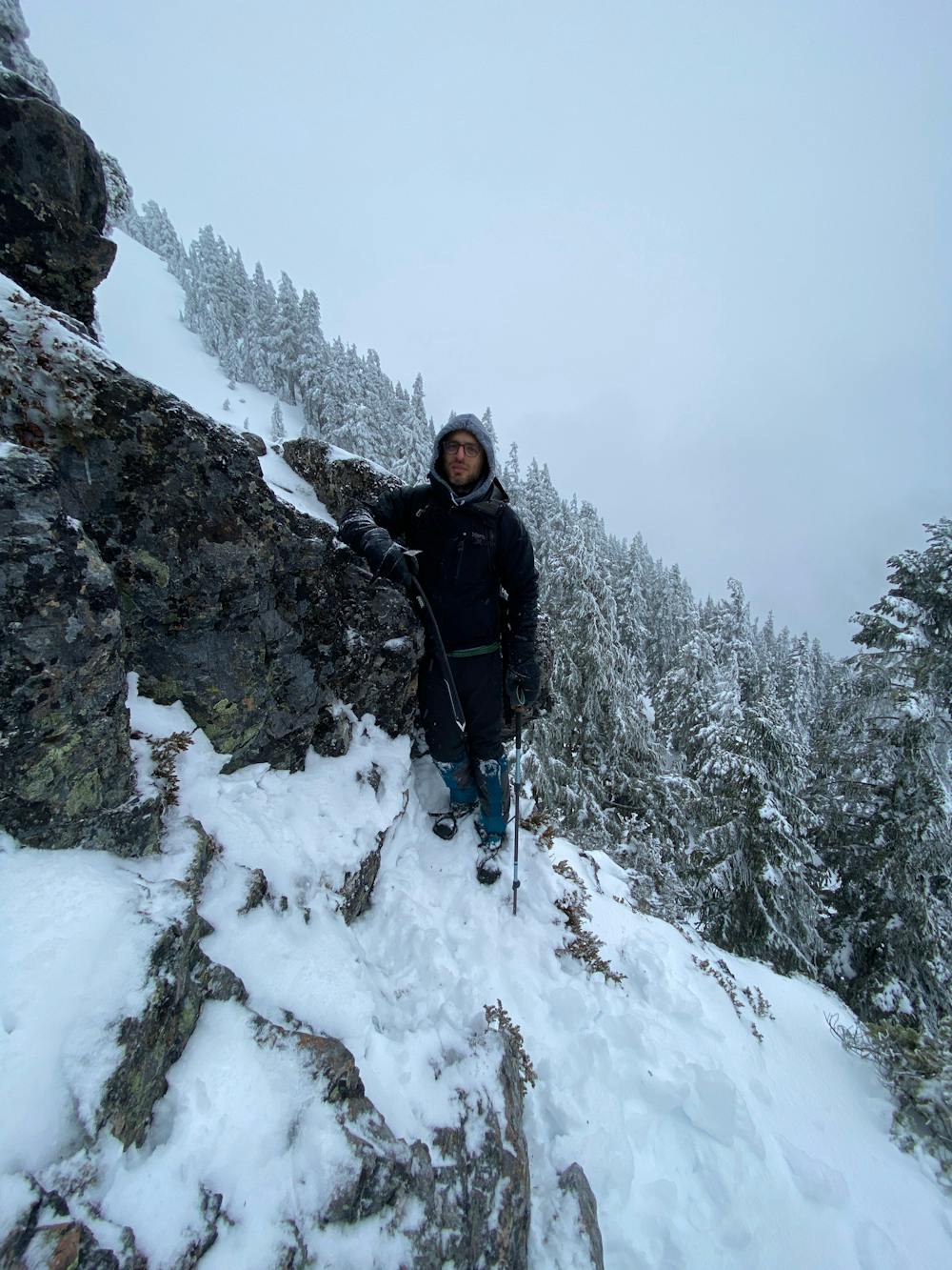
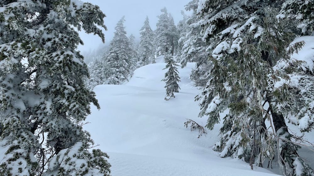
From the Lions Bay parking lot take the trail upwards for the Lions/Mt. Harvey/Mt Brunswick. The trail connects with the service road that switchbacks up Mt. Harvey. At the final switchback there is a narrower trail traversing north towards tunnel bluffs. Follow this trail into the valley and up the flank of Brunswick where a trail branches off heading uphill. This trail rapidly gets quite steep and narrow. It's quite vertical and climbs more like stairs for much of the elevation gain. The trail levels off slightly and cuts across the Howe Sound Crest Trail.
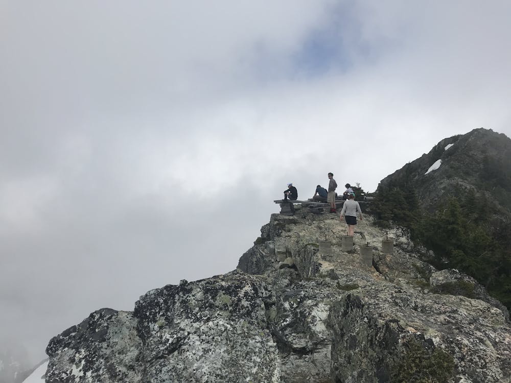
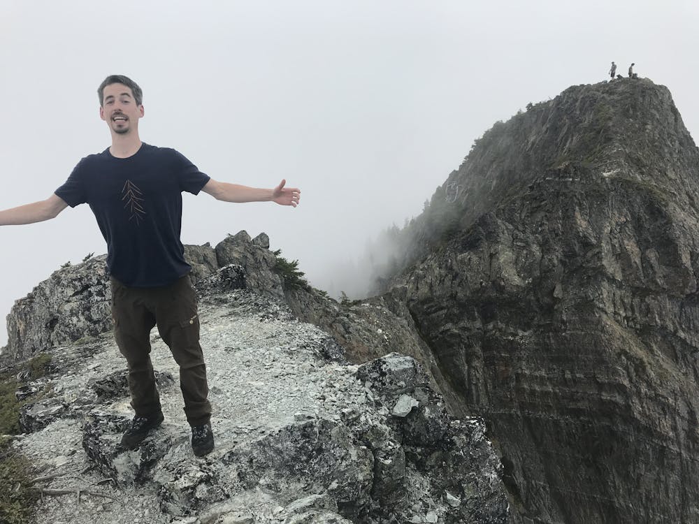
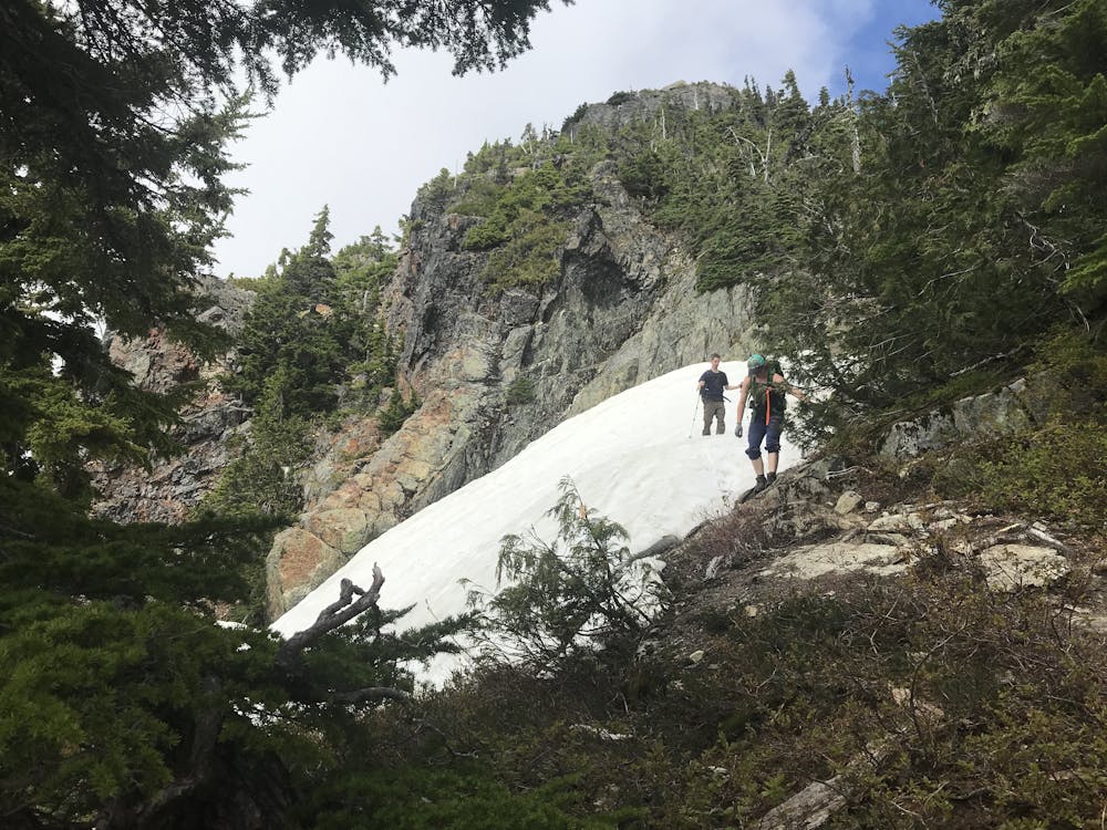
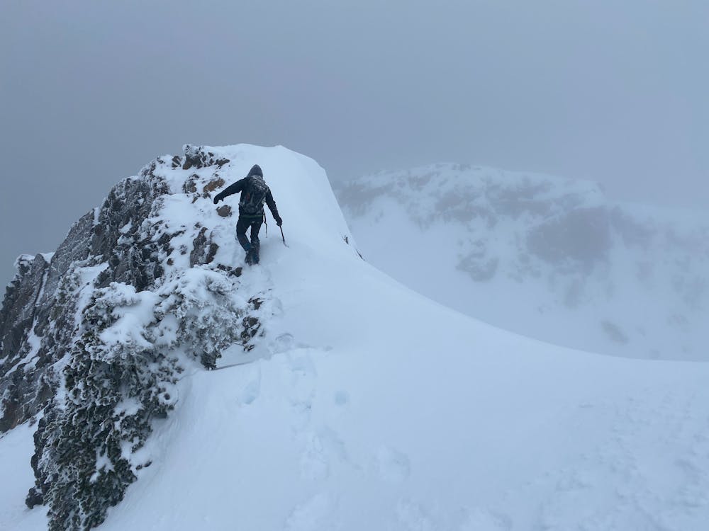
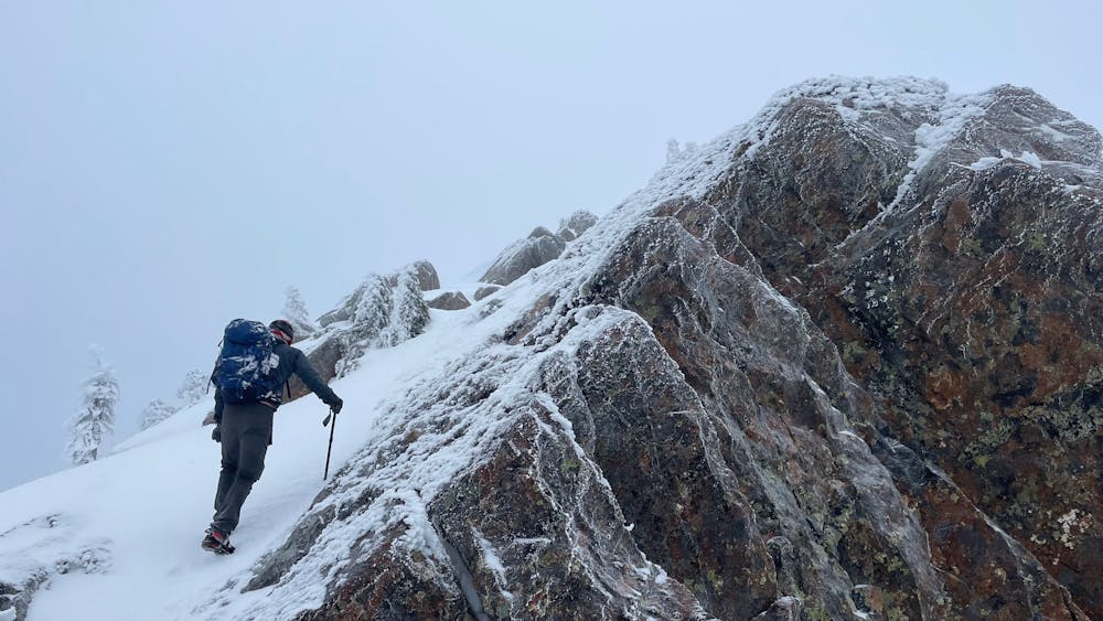
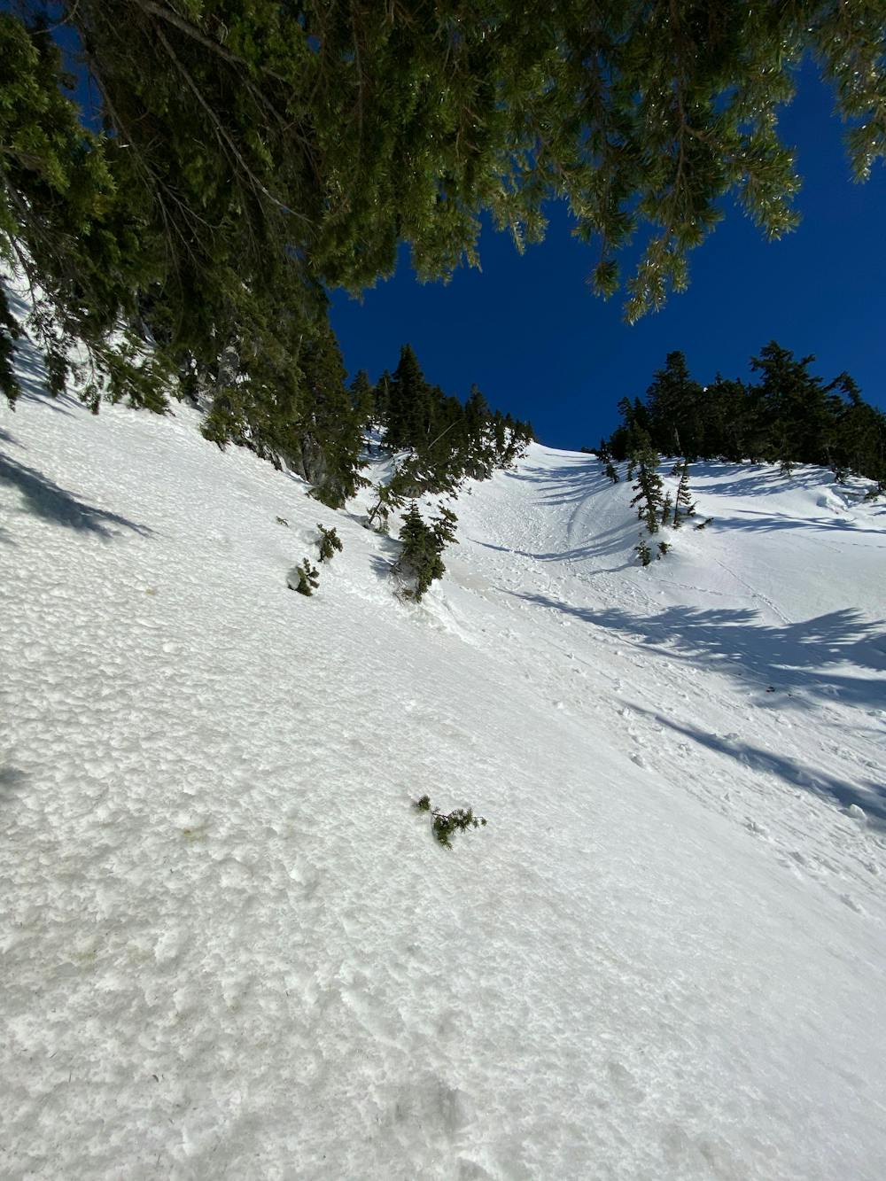
Continue straight up through gradually thinning trees. Eventually the trail leads to shale like loose rock. It's not steep, but the footing is mediocre. There are generally still trail markers here. Head for the largest gaps between trees if you are unsure, trending climbers right ever so slightly. Once passed the trees the col can be seen between the sub-peak of Brunswick and the main ridge. Gain the ridge, and head eastwards towards the summit. There is 50m section of narrow exposed ridge here. For those not used to heights this may be quite exhilarating. The rock offers good footholds all at least a foot wide, with ample holds if folks are feeling insecure. Beyond this the terrain gets less exposed, and less of a scramble. It's a short jaunt to the summit.
Extreme
Scrambling up mountains and along technical trails with moderate fall exposure. Handholds are necessary to navigate the trail in its entirety, although they are not necessary at all times. Some obstacles can be very large and difficult to navigate, and the grades can often be near-vertical. The challenge of the trail and the steepness of the grade results in very strenuous hiking. Hikes of this difficulty blur the lines between "hiking" and "climbing".

The trail contains some obstacles such as outcroppings and rock which could cause injury.
Away from help but easily accessed.
196 m away
A steep hike, with an easy scramble to the summit
Severe Hiking
196 m away
The safe and legal option for hiking Tunnel Bluffs.
Easy Hiking
499 m away
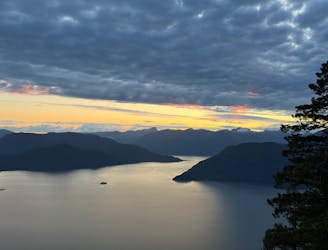
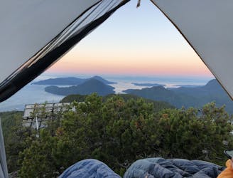
Beautiful Howe Sound sunset with a sneaky peak of Tantalus
Moderate Hiking
6.6 km away
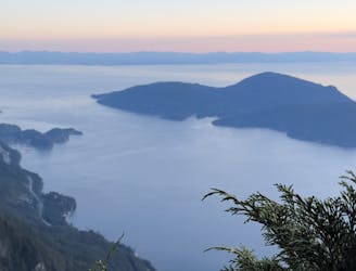
Enjoy fabulous 360° views of Howe Sound
Difficult Hiking
8.9 km away
Local classic to take in a beautiful Howe Sound sunset
Moderate Hiking
9.1 km away
Popular hike with scenic views over Howe Sound
Moderate Hiking

7 routes · Hiking · Trail Running

6 routes · Hiking

3 routes · Hiking