5 m away
Mount Tod via Whyte Bowl and West Ridge
Climb the most famous summit in these parts and enjoy some wild terrain in the process!
Difficult Hiking
- Distance
- 12 km
- Ascent
- 459 m
- Descent
- 459 m
Enjoy some of the finest views at Sun Peaks and explore some wild-feeling terrain.
Hiking Difficult

Top of the World is a popular hike on its own but combining it with Crystal Bowl Loop and Whyte Bowl allows you to see much more scenery for relatively little extra effort. If you are pushed for time and just want to do Top of the World on its own then simply follow the descent line shown here and do it as an out-and-back trip.
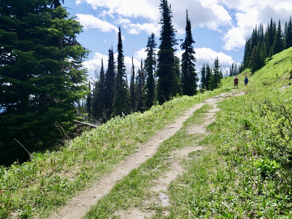
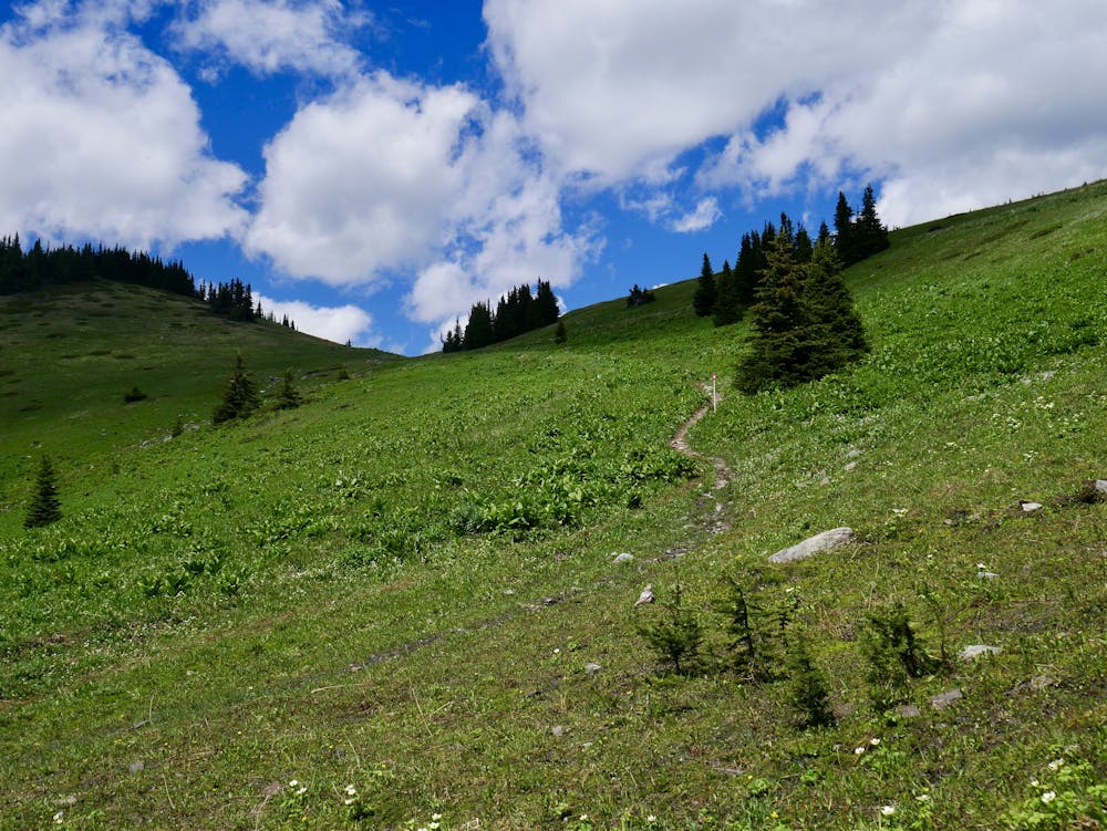
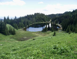
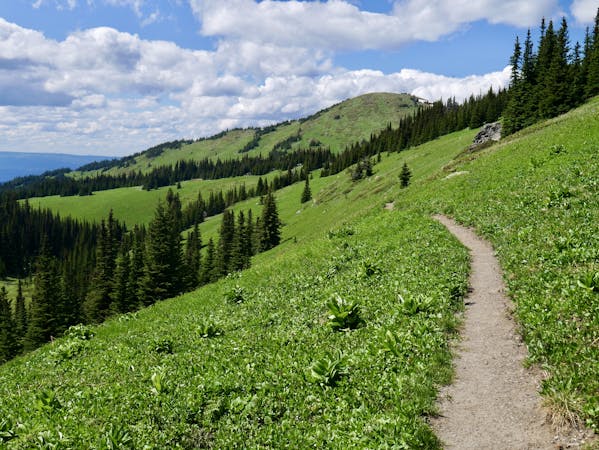
The first part of the route shown here is up the easy and breathtakingly scenic Crystal Bowl Loop, which begins just above the top of the Sunburst Express chairlift. When Crystal Bowl Loop meets the Altitude XC bike route, follow this briefly before branching off right into Whyte Bowl. The Whyte Bowl section of this hike is by far the wildest, with the trail leading you through both dense forests and wide open meadows which hang high above the deep valleys below. The route passes through terrain which is absolutely ideal for bears, and there are plenty about, so be bear aware and make plenty of noise as you hike! The terrain in Whyte Bowl is also the steepest of any you'll encounter on the trip, so if you start to feel it then keep grinding - the steep bits aren't too long!
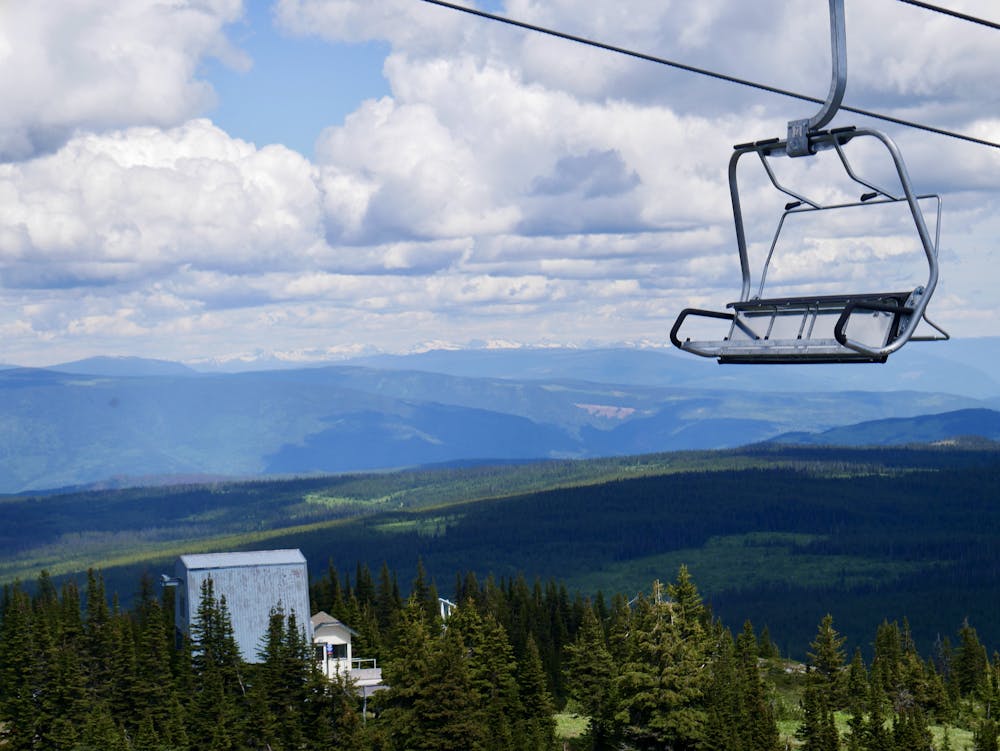
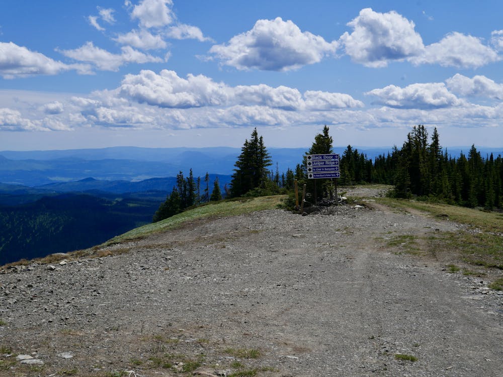
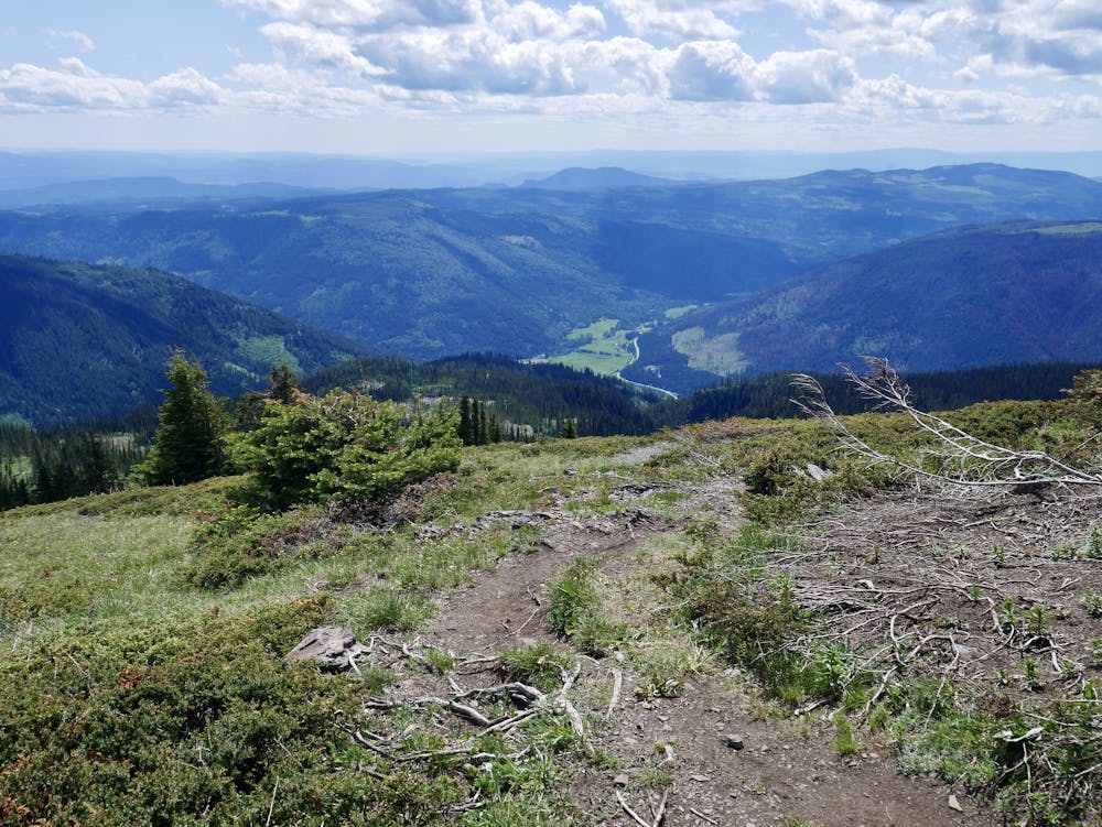
The trail eventually brings you out at the top of the Crystal and Burfield chairlifts, which rather spoil the ambience briefly, but you're soon past them and on to the wonderful, rounded Juniper Ridge. Follow this to where it loops around and sends you back in the direction you came. The final loop itself has some of the best views on this hike, and also offers some fabulous wild flowers, so savour it before beginning the return trip.
The journey down Top of the World back to Sunburst Express is simple enough but steep in places so don't rush, and ponder the views of Sun Peaks village instead.
Difficult
Hiking trails where obstacles such as rocks or roots are prevalent. Some obstacles can require care to step over or around. At times, the trail can be worn and eroded. The grade of the trail is generally quite steep, and can often lead to strenuous hiking.

The trail contains some obstacles such as outcroppings and rock which could cause injury.
Away from help but easily accessed.
5 m away
Climb the most famous summit in these parts and enjoy some wild terrain in the process!
Difficult Hiking
116 m away
The easiest hike from Sunburst Express - this is as straightforward and relaxing as it gets!
Moderate Hiking
2.8 km away
A lovely stroll which is suitable for the whole family
Easy Hiking
4 routes · Hiking