8.1 km away
West Coast Trail Day 6
A fun day with great views, but some challenging boulders to test your scrambling skills.
Difficult Hiking
- Distance
- 7.6 km
- Ascent
- 172 m
- Descent
- 171 m
A challenging day negotiating a muddy inland route, but there are great views to be had along the way.
Hiking Difficult

Day 5 on trail signals the end of the easier beach routes, as you start to encounter the more challenging inland trails.
The bonus of doing this trail from North to South is that you have a much lighter backpack as you get to the more challenging part of the trail, which will make these inland sections much easier.
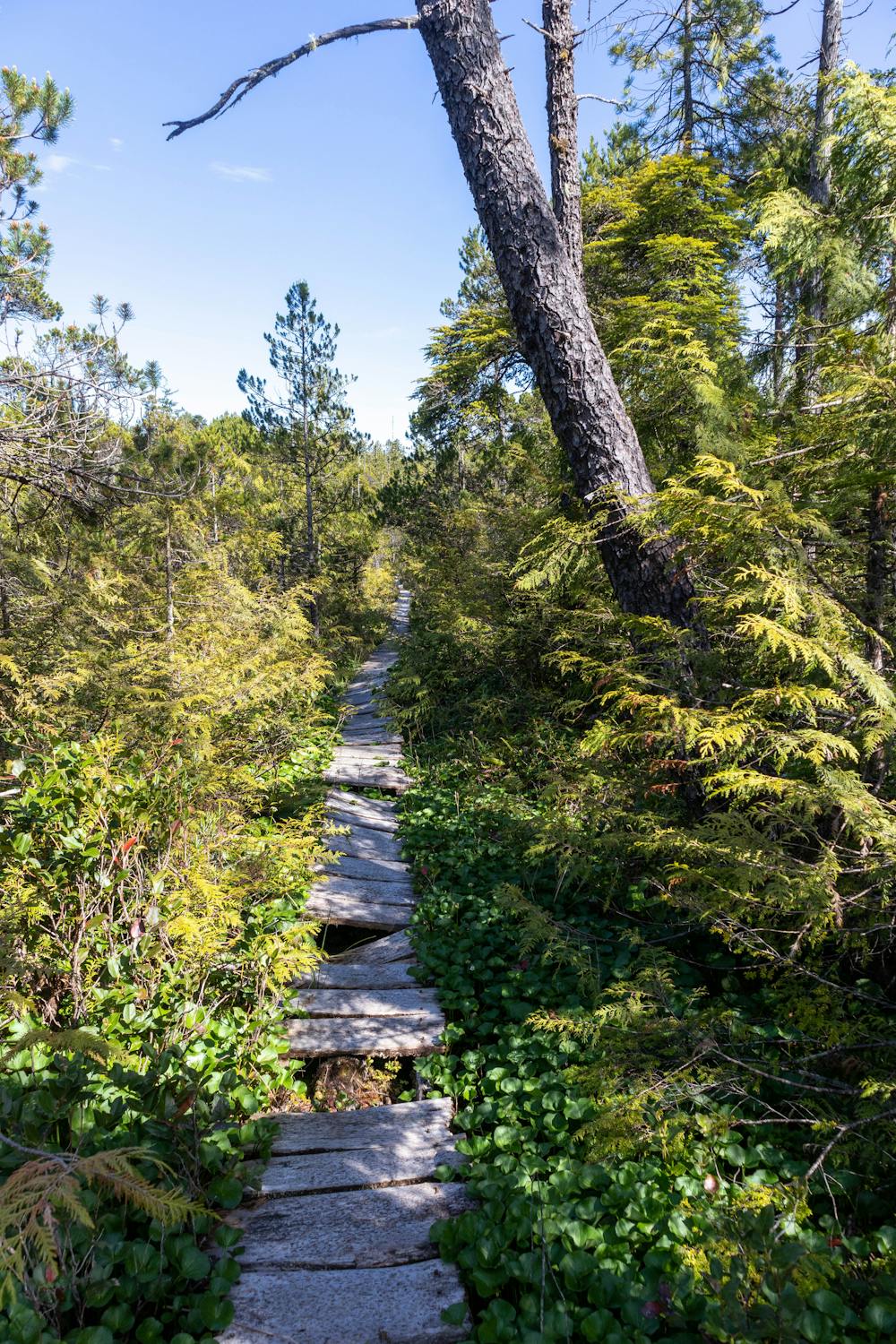
As soon as you leave Walbran campground, you will very quickly find the mud, this continues for a few kilometres. If you have good balance you can avoid the worst of it by hiking over fallen trees and jumping between rocks.
The mud here is significantly better than it is on the Juan de Fuca or North Coast Trails, so if you have done either of those trails, you shouldn't find this too difficult. But considering you have spent the past 4 days hiking on nice dry beaches, this will be a significant change to what you have been used to.
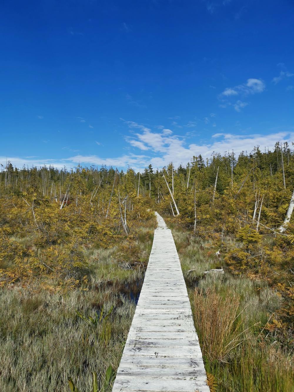
Thankfully the mud doesn't last too long, as you head along the trail there are plenty of boardwalks to help keep your feet dry.
The vegetation changes as you hike over the wetlands, it's a much more open forest, which makes for some great scenery.
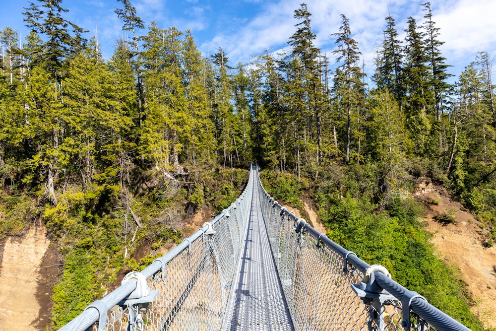
A new suspension bridge has been constructed across Logan Creek, this is one of the longest suspension bridges in all of British Columbia. The bridge itself is a great sight to see, but you also get beautiful views as you hike across it.
The trail down to Cullite Creek has a significant amount of ladders, once you head out from the creek you also then have to go up lots of ladders to get back out. This can be quite fun, but also strenuous if you have a heavy backpack.
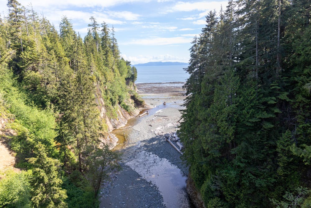
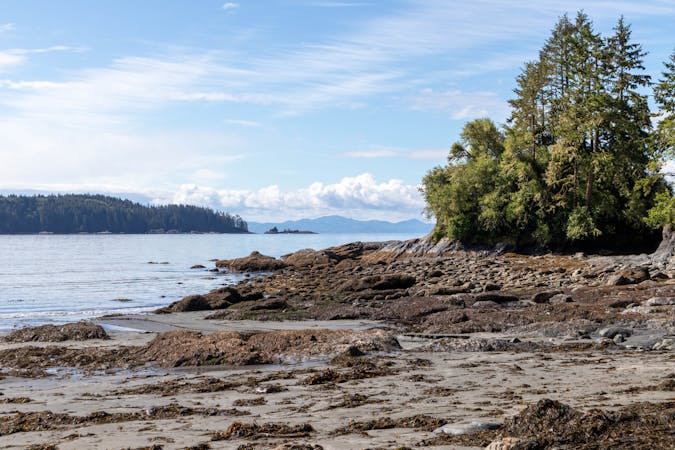
Cullite Cove is a great lunch stop, it's definitely worth the quick side trip and will give you a nice break from all the ladders. You get great views from here and it's very peaceful. The trail to the cove can be a little challenging, but if water levels are low enough you can walk straight down the creek.
The trail from Cullite Creek to Camper bay is a much dryer trail, but still has plenty of ladders to negotiate before you arrive at Camper Bay.
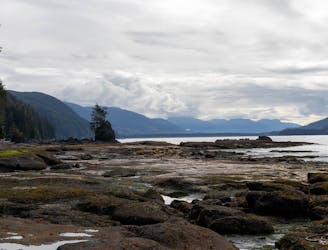
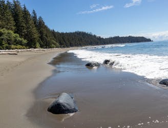
Camper Bay is a spectacular campground, it's well worth getting here early to secure a good tent site. You get amazing views from the campground, it has a great beach and is very sheltered from the elements.
Difficult
Hiking trails where obstacles such as rocks or roots are prevalent. Some obstacles can require care to step over or around. At times, the trail can be worn and eroded. The grade of the trail is generally quite steep, and can often lead to strenuous hiking.

The trail contains some obstacles such as outcroppings and rock which could cause injury.
Away from help but easily accessed.
8.1 km away
A fun day with great views, but some challenging boulders to test your scrambling skills.
Difficult Hiking
10 km away
An almost entirely coastal day with yet more beautiful beaches and plenty of wildlife.
Moderate Hiking
7 routes · Hiking