8.4 km away
Pioneer -> Fizzy Pop -> Dog Beach Figure-8
This diverse group of trails offers a fun and easily-accessible Pemberton ride.
Severe Mountain Biking
- Distance
- 6.3 km
- Ascent
- 261 m
- Descent
- 261 m
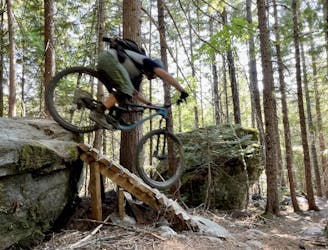
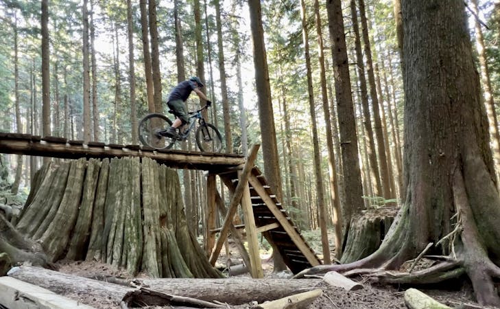
A South Rutherford pro line that ends with a gap over a railroad track.
Mountain Biking Extreme

Diesel Wolf is one of the most infamous trails in South Rutherford and reserved experienced riders only. This double black diamond run is fast, technical, loamy and adrenaline-inducing for most of the ride, then finishes with a launch ramp and gap over an active railroad. Scout the gap thoroughly and don't hesitate to bypass it if you don't feel 110%.
Diesel Wolf begins near the top of the gravel access road and ends at the Sea-to-Sky Highway just a short pedal from the parking area.
For a lower-risk trail of similar difficulty, consider a run down PHD instead.
Extreme
Very steep, difficult, narrow singletrack with widely variable and unpredictable trail conditions. Unavoidable obstacles could be 15in/38cm tall or greater, and unavoidable obstacles with serious consequences are likely to be present. Obstacles could include big rocks, difficult root sections, drops, jumps, sharp switchbacks, and more. Ideal for expert-level riders.

Some trail sections are extremely exposed where falling will almost certainly result in serious injury or death.

Little chance of being seen or helped in case of an accident.
8.4 km away
This diverse group of trails offers a fun and easily-accessible Pemberton ride.
Severe Mountain Biking
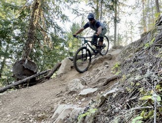
8.8 km away
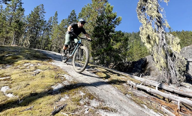
A slab-filled masterpiece!
Severe Mountain Biking
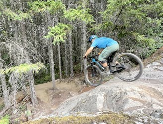
9.2 km away
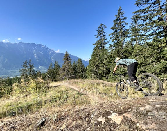
A classic Whistler XC ride with a rewarding descent at the end.
Severe Mountain Biking
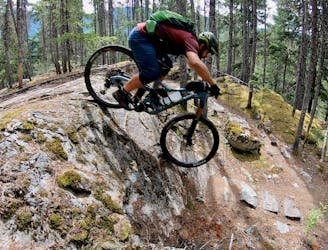
9.5 km away
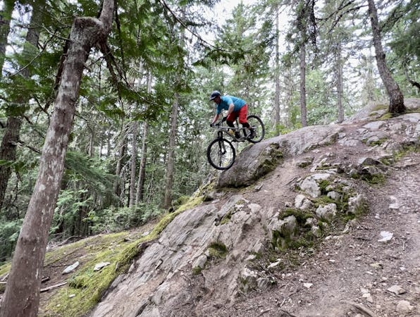
This rugged ride is short but sweet!
Severe Mountain Biking
14 routes · Mountain Biking
7 routes · Mountain Biking
9 routes · Mountain Biking
10 routes · Mountain Biking