630 m away
Mount Morrisey
Get some exercise and enjoy the forests
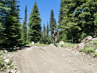
Moderate Mountain Biking
- Distance
- 11 km
- Ascent
- 407 m
- Descent
- 407 m
A scenic trip and a fun ride down!
Mountain Biking Moderate

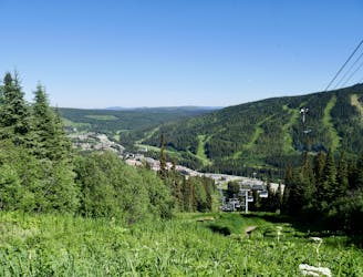
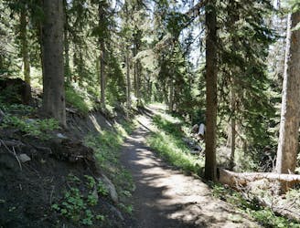
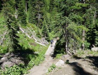
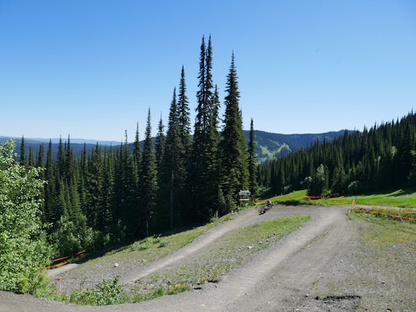
McGillivray Lake can be reached by car, but this is a much nicer way of getting there, and allows you to get a bit of exercise, see some great forests, and ride a fun little trail.
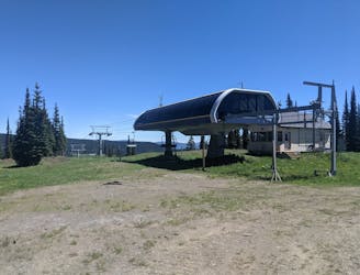
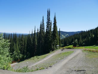
The 4x4 track which you ride up to reach McGillivray Lake is easy to locate if you ride up Valley Drive, at the eastern end of Sun peaks village. The track is obvious and easy to follow so you can get on with enjoying the ambience of the forest without needing to pay route finding much attention. The ascent track can also be hiked as an out-and-back trail if you want to take things a little slower.
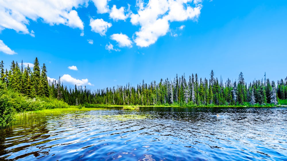
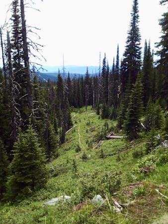
It's optional to detour to McGillivray Lake itself as you can actually access Snowshoe (the descent trail) before you reach the lake, but the detour is well worth making; the lake is stunning and it's only 5 minutes away from the top of Snowshoe.
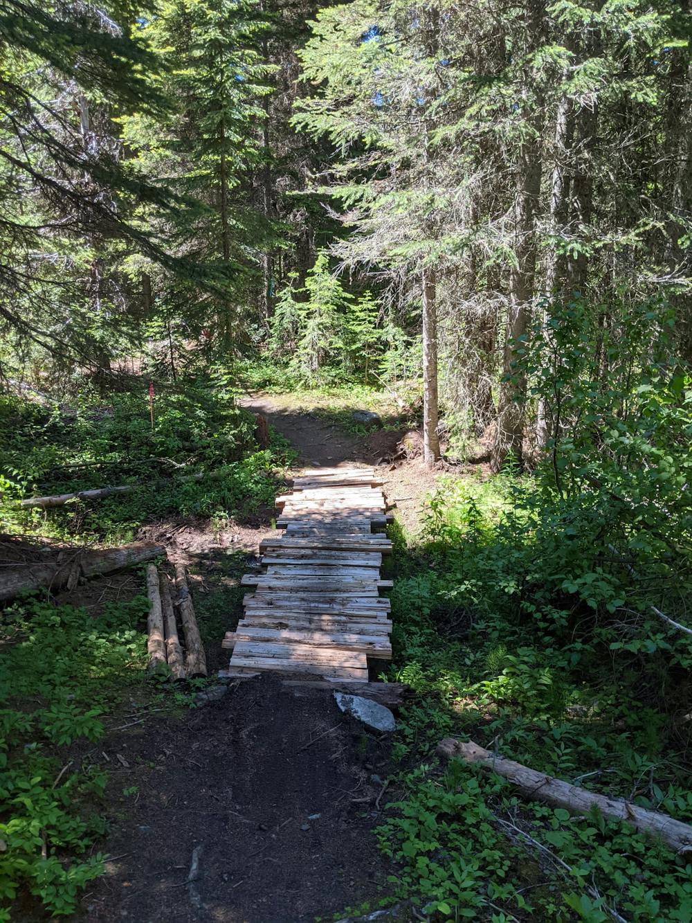
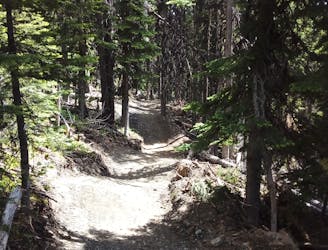
When you're ready to descend there's a little sign designating the start of Snowshoe, so locate this and then get riding! The trail itself is undulating and narrow, and it crosses a few little wooden bridges as well, which keeps things nicely varied. It doesn't really involve any technical riding and undulates all the way, so only ride this trail if you enjoy a journey as much as the technical riding itself.
A couple of other factors to take into account before doing this trail are that it's densely forested (and therefore slow to dry) and that the mosquitos can be pretty bad! Take bug spray and keep moving to get maximum enjoyment out this trip!
Moderate
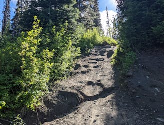
Mostly stable trail tread with some variability, with unavoidable obstacles 8in/20cm tall or less. Other obstacles such as rock gullies and steep sections may exist. Ideal for lower intermediate riders.

The trail contains some obstacles such as outcroppings and rock which could cause injury.

Little chance of being seen or helped in case of an accident.
630 m away
Get some exercise and enjoy the forests
Moderate Mountain Biking
2 km away
Big jumps....and lots of them! Plus some fun trail riding right at the end.
Severe Mountain Biking
2.5 km away
An ideal introduction to freeride jump lines
Moderate Mountain Biking
3.8 km away
A fun and varied alternative entry to the classic Sun Peaks blues.
Difficult Mountain Biking
3.8 km away
Probably the easiest top-to-bottom route at Sun Peaks bike park, this is a fun introduction to the area.
Moderate Mountain Biking
3.8 km away
Type 1 fun right under the chairlift!
Difficult Mountain Biking
3.8 km away
Aptly-named! Huge berms and countless mini (optional) airs make this a classic ride.
Difficult Mountain Biking
3.8 km away
Explore a remote part of the mountain on this varied and straightforward trail
Moderate Mountain Biking
3.8 km away
A steep, rocky, root-y and technical descent for those who like a challenge!
Severe Mountain Biking
3.8 km away
Fast and furious - this is a Sun Peaks classic
Difficult Mountain Biking
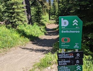
6 routes · Mountain Biking
3 routes · Mountain Biking