1.7 km away
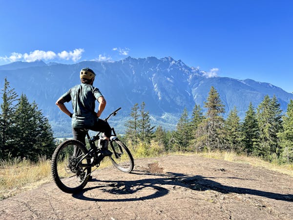
Comfortably Numb
The must-do XC epic in the Whistler valley
Severe Mountain Biking
- Distance
- 31 km
- Ascent
- 1 km
- Descent
- 1 km
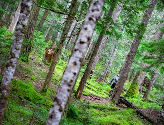
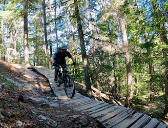
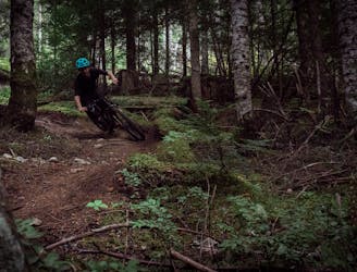
Techy singletrack along Green Lake often noted as one of Whistler's best rides.
Mountain Biking Difficult

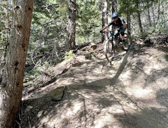
This is a popular mountain biking route which is generally considered to be difficult. It's remote, it features high exposure and is typically done between May and October. From a low point of 638 m to the maximum altitude of 721 m, the route covers 1 km, 41 vertical metres of ascent and 107 vertical metres of descent.
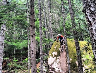
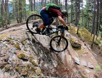
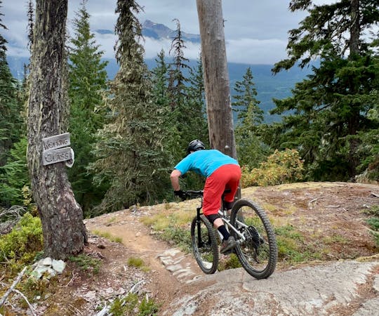
No Girlie Man is a techy lakeside ride with great views, some hike-a-bike and virtually no flow. Considered one of the top rides in Whistler, it's a great finish to several classic routes and ends on the Sea to Sky Highway.
Difficult
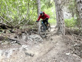
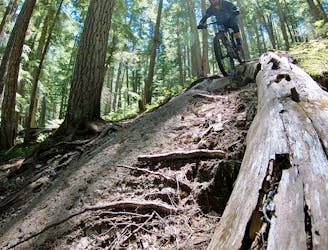
Mostly stable trail tread with some variability featuring larger and more unavoidable obstacles that may include, but not be limited to: bigger stones, roots, steps, and narrow curves. Compared to lower intermediate, technical difficulty is more advanced and grades of slopes are steeper. Ideal for upper intermediate riders.

Some trail sections have exposed ledges or steep ascents/descents where falling could cause serious injury.

Away from help but easily accessed.
1.7 km away
The must-do XC epic in the Whistler valley
Severe Mountain Biking
1.7 km away
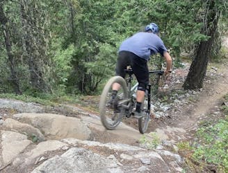
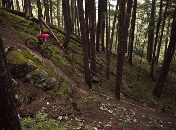
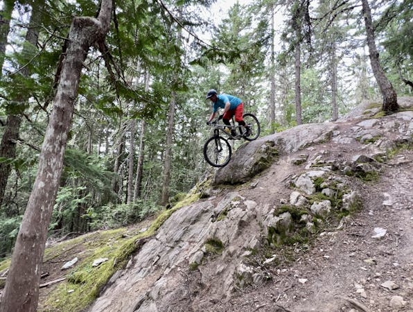
A classic rock-filled descent with stunning views up high.
Severe Mountain Biking
1.7 km away
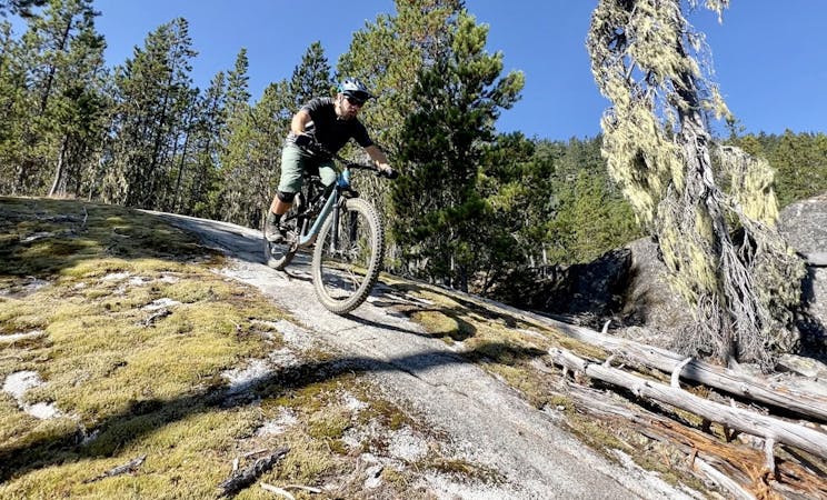
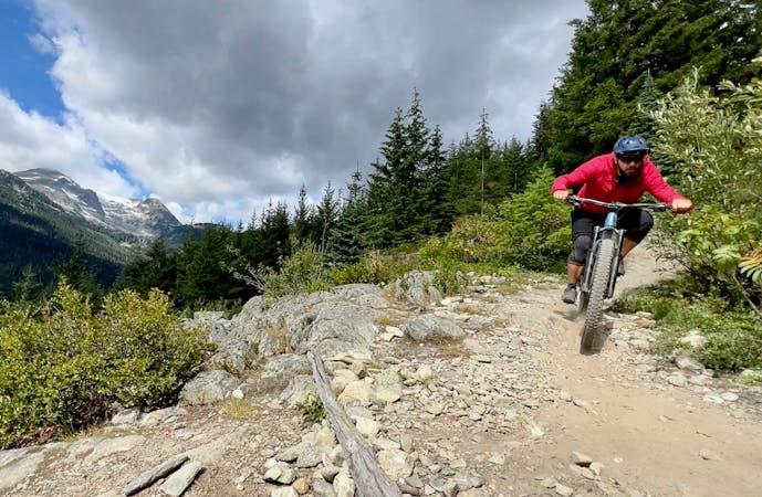
Whistler's top rock slab ride!
Extreme Mountain Biking
2.2 km away
Whistler's worst kept secret trail is now on the map!
Difficult Mountain Biking
2.7 km away
A classic Whistler XC ride with a rewarding descent at the end.
Severe Mountain Biking
3.8 km away
The easiest singletrack trails in Whistler.
Difficult Mountain Biking
3.8 km away
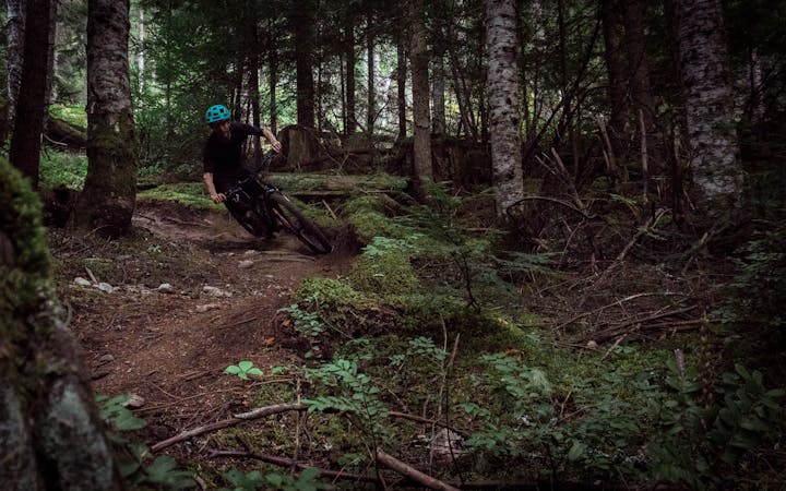
Fantastic deep, dark singletrack and steep rock slabs make Micro Climate a local favorite.
Severe Mountain Biking
4 km away
Combine old school freeride features with a loose, ripping descent on this high-value loop.
Severe Mountain Biking
4 km away

An isolated old school descent shared with trials motos.
Severe Mountain Biking
4 km away
A true Blackcomb Classic.
Severe Mountain Biking
14 routes · Mountain Biking

16 routes · Mountain Biking

25 routes · Mountain Biking
5 routes · Mountain Biking
5 routes · Mountain Biking
7 routes · Mountain Biking
9 routes · Mountain Biking
10 routes · Mountain Biking
6 routes · Mountain Biking
14 routes · Mountain Biking