24 m away
Mt Chief Pascal
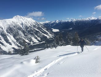
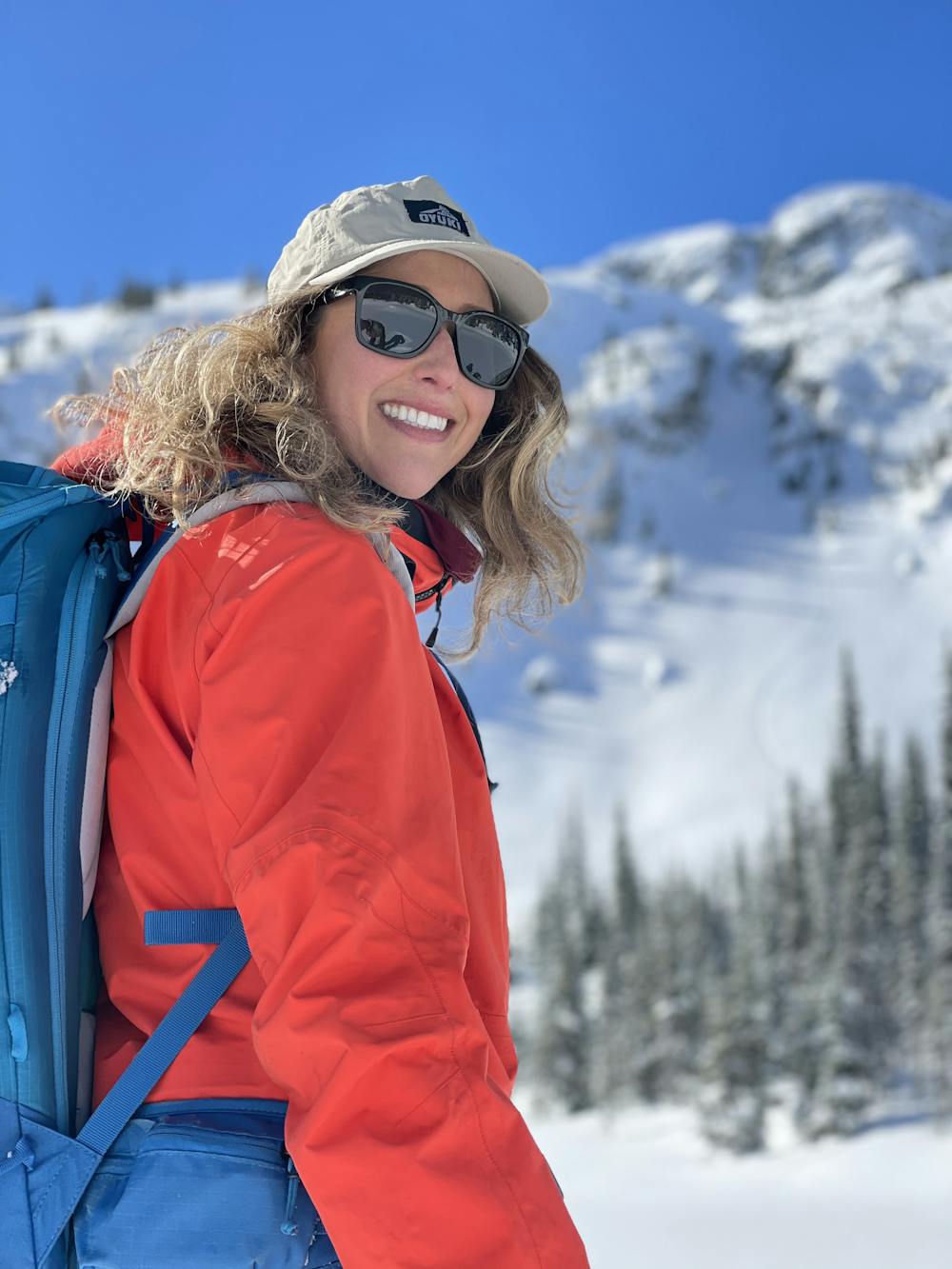
Ultra classic day tour in a stunning location
Moderate Ski Touring
- Distance
- 9.7 km
- Ascent
- 960 m
- Descent
- 960 m
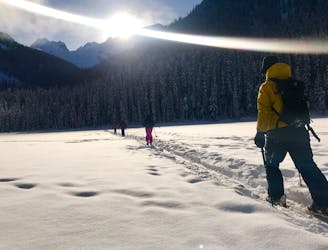
Easy access from Pemberton or Lillooet with a variety of skiing make this a classic, forested ski tour.
Ski Touring Moderate

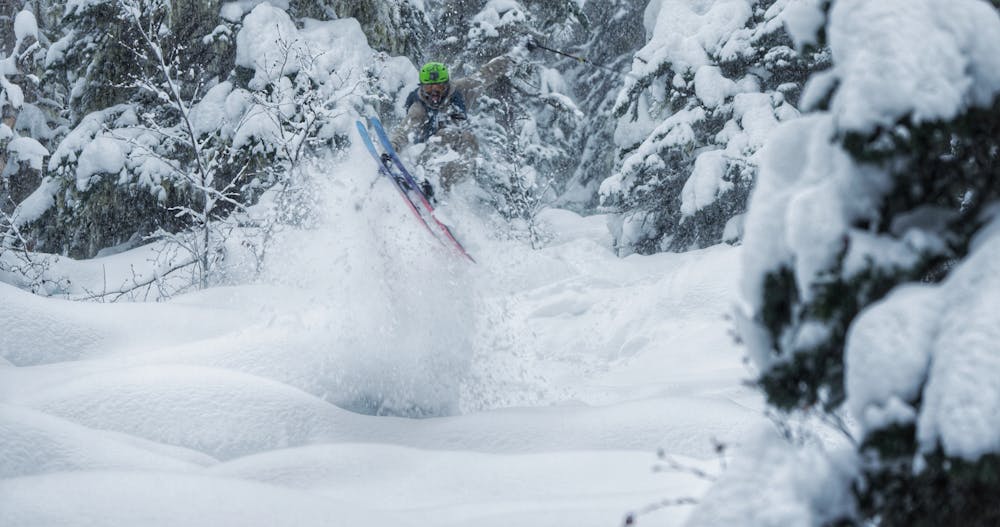
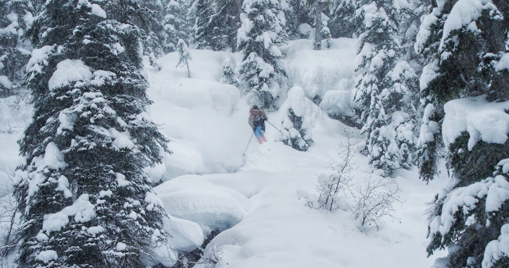
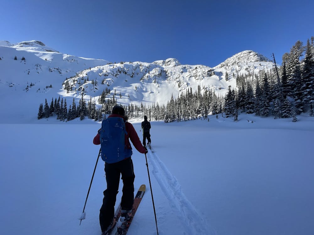
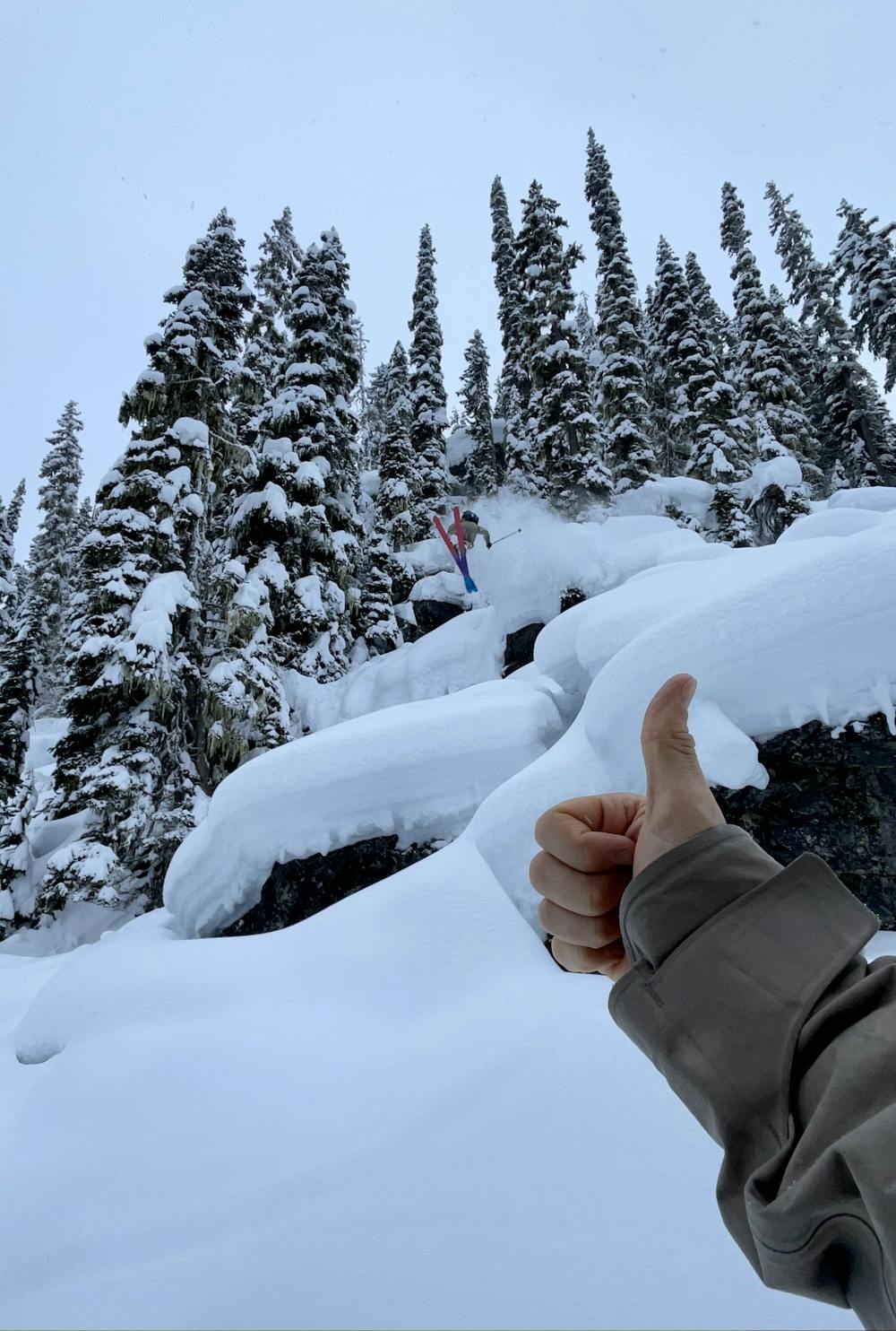
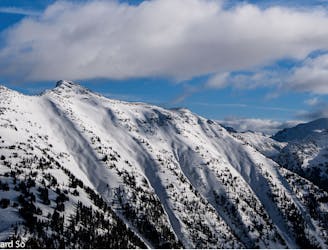
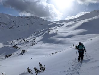
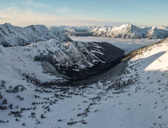
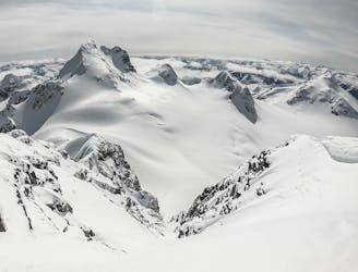
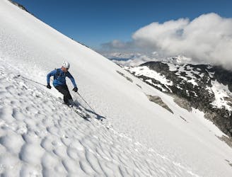
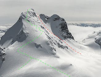
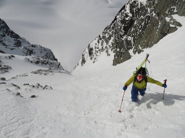
Access from Pemberton or Lillooet via the Duffey Lake Highway. Largest parking lot is at the Cayoosh / Joffre weather station parking lot. An easy ski tour along the old forest service road for a little ways followed by a beautiful old growth forested climb to a forested meadow before another forested climb along the flank of the most obvious drainage. Once you arrive at the upper Lake you will see awesome lines, faces, and cliff features. You can climb to the west and continue up to these features or stay in the forest. Once you reach the high point featured in this route you will be atop awesome pillowed terrain with a beautiful view and a great spot for lunch.
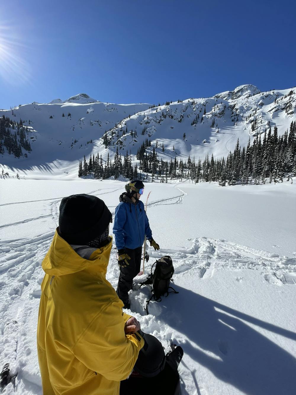
Note: There are multiple routes up through the forest but showcased is the most direct and manageable.
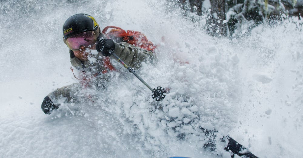
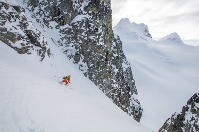
Once you drop in you can work your way through the variety of the terrain. The more spicy, and exposed pillow field awaits or to the skiers right a tamer and less exposed tree run & boulder field.
We recommend using your FATMAP app to stay away from large cliff features or deeper drainages.
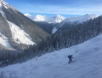
Ultimately, if you trend skiers right you work your way through various boulder fields and old growth to a manageable drainage/creek or more tree skiing, ultimately culminating a bunch of fun boulder and pillow fields.
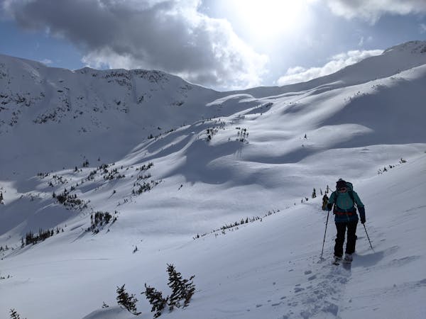
Once you have exited the boulder fields you can either trend back to the skin track and the FSR, or follow the creek that leads you back to a cut block and the lower part of the FSR.
A great zone for storm days, as well as stable sunny days but be aware of tree wells, drainages, cliffs and any over hanging exposure on the higher elevation faces.
Footage featured in 2021 BLANK Collective film, Tales From Cascade
Moderate
Slopes become slightly steeper at around 25-30 degrees.

Exposure is limited to that of the slope itself. Getting hurt is still likely if the slope is steep and/or the snow is hard.

Away from help but easily accessed.
24 m away
Ultra classic day tour in a stunning location
Moderate Ski Touring
28 m away
Consistent fall line skiing down a series of well-defined avalanche paths
Difficult Ski Touring
29 m away
A great intermediate zone with open bowls and easy access
Moderate Ski Touring
30 m away
A pleasant traverse on the north side of the Duffey Lake Road
Moderate Ski Touring
32 m away
Classic coastal couloir in a wild setting
Severe Ski Touring
1.2 km away
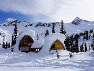
A luxury hut with epic tree skiing
Moderate Ski Touring
2.1 km away
The Coastal skier's intro to big mountain lines!
Difficult Ski Touring
2.1 km away
A major glaciated face off the north side of Slalok Peak directly down to Upper Joffre Lake.
Difficult Ski Touring
2.1 km away
A wide open face on the crown of the Matier group.
Difficult Ski Touring
2.1 km away
A Duffy mega-classic!
Moderate Ski Touring
3 routes · Ski Touring
5 routes · Ski Touring
4 routes · Ski Touring