2 m away
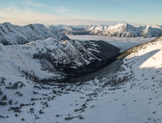
Stonecrop Glacier, Mt Slalok
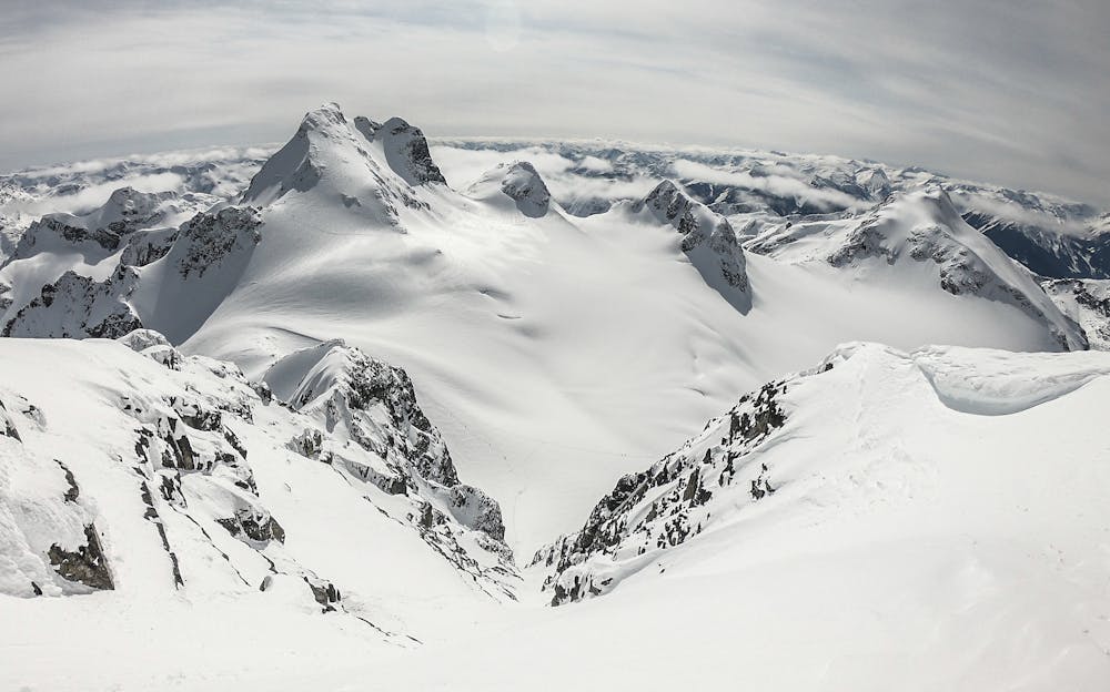
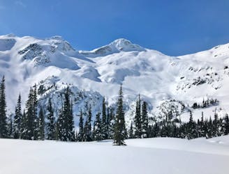
A major glaciated face off the north side of Slalok Peak directly down to Upper Joffre Lake.
Difficult Ski Touring
- Distance
- 12 km
- Ascent
- 1.5 km
- Descent
- 1.5 km
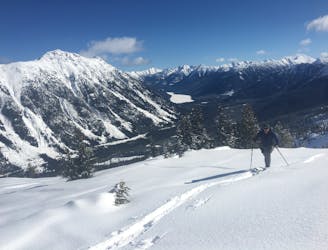
The Coastal skier's intro to big mountain lines!
Ski Touring Difficult

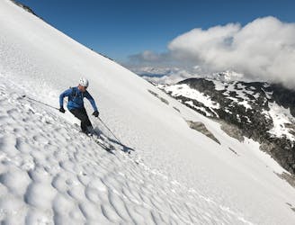
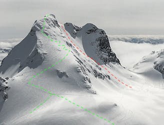
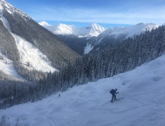
The Aussie Couloir is big, long, and pretty friendly. If you're moving from skiing mellow trees and inbounds to the big mountains, this is on the list. It's still a massive day however and often underestimated. The approach is long and the climb up seemingly endless!
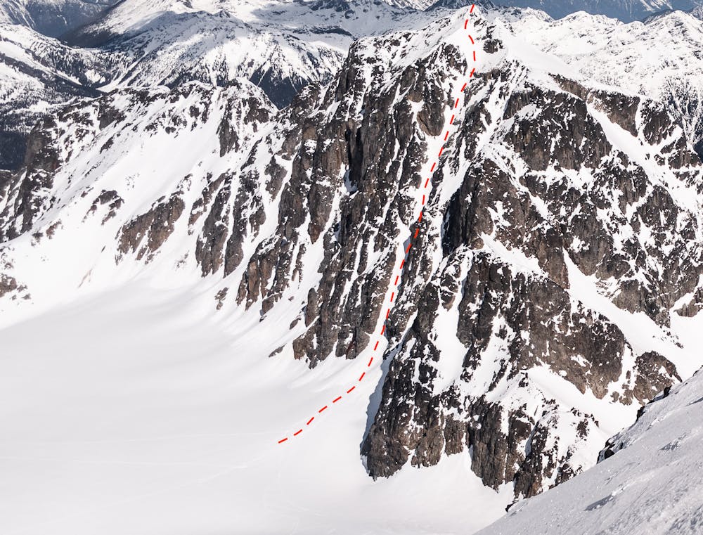
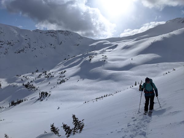
Approach via the Joffre Lakes Trail to the Third Lake. You can gain the Matier Glacier by climbing the left or right side of the icefall but most parties go left. Be aware of avalanche conditions! Ascend the lateral moraine until forced to boot up under the rocks along the glacier icefall. See the Stonecrop Face route for the right side option.
From the flats of the Matier Glacier, head for the obvious, massive couloir splitting up the SW Face of Mt. Joffre. Switchback up the lower apron and head for a protected roof on the right side of the couloir as it narrows. This is a perfect spot to switch to booting.
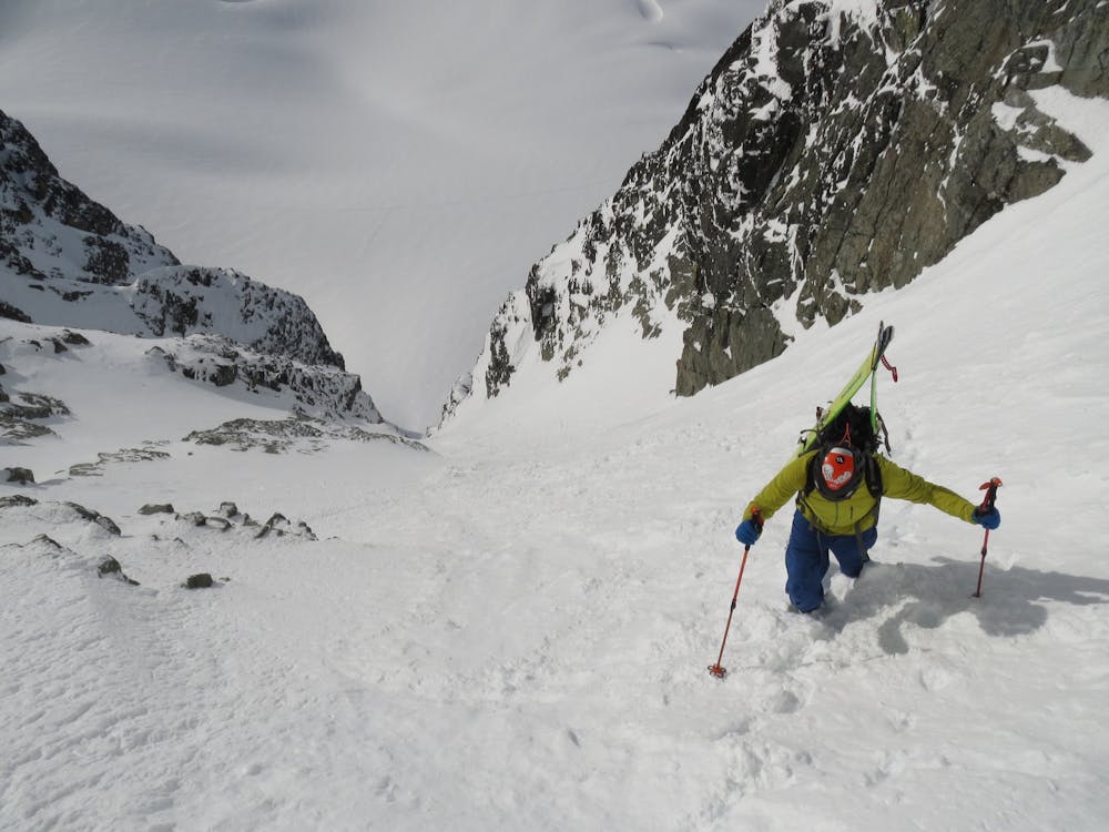
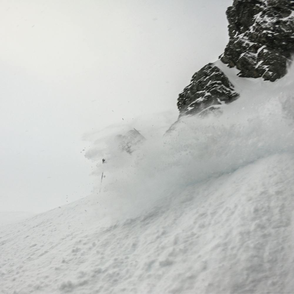
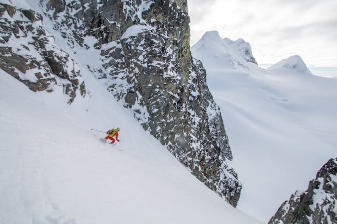
Continue up the couloir but pace yourself - it's 400m+ from the glacier to the summit! Staying climber's left in the couloir allows you to step into protected rock bays periodically. Make sure to assess snow conditions as you climb up. If you see indications of instability down low, it will NOT improve. The lower couloir is often swept by avalanches so if that seems unstable, you're likely to encounter hang fire above. A small widening of the couloir at 4/5ths height is a major start zone. Don't climb into it if things seem spooky from below.
As you reach the top of the couloir, evaluate going directly up to the ridge crest or deviating slightly left onto a snow rib. As you arrive at the top of the line, you're also able to look down the North Face into the Central Couloir but beware of school bus sized cornices protecting the north side. Don't get anywhere near the edge!
To reach the summit, continue climbing up and left through rock bands and wind-swept snow. At the true summit, continue to be aware of cornices!
Reverse the route on the descent, being aware of potential for parties booting up below you. This is a popular objective and it is easy to flush those below you.
Crampons and ice axe are mandatory kit and in powder conditions, boot pack plates may be crucial. The route is south facing so any sun brings melt-freeze conditions and potential for ice and rime bombs to fall from above.
Difficult
Serious gradient of 30-38 degrees where a real risk of slipping exists.

Exposure is limited to that of the slope itself. Getting hurt is still likely if the slope is steep and/or the snow is hard.

Away from help but easily accessed.
2 m away
A major glaciated face off the north side of Slalok Peak directly down to Upper Joffre Lake.
Difficult Ski Touring
4 m away
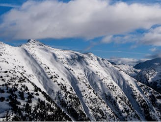
A wide open face on the crown of the Matier group.
Difficult Ski Touring
33 m away
A Duffy mega-classic!
Moderate Ski Touring
2.1 km away
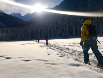
Easy access from Pemberton or Lillooet with a variety of skiing make this a classic, forested ski tour.
Moderate Ski Touring
2.1 km away
A pleasant traverse on the north side of the Duffey Lake Road
Moderate Ski Touring
2.1 km away
Ultra classic day tour in a stunning location
Moderate Ski Touring
2.1 km away
Consistent fall line skiing down a series of well-defined avalanche paths
Difficult Ski Touring
2.1 km away
A great intermediate zone with open bowls and easy access
Moderate Ski Touring
2.1 km away
Classic coastal couloir in a wild setting
Severe Ski Touring
2.8 km away
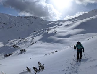
Great skiing in a broad alpine bowl away from the crowds
Difficult Ski Touring

3 routes · Ski Touring
5 routes · Ski Touring
4 routes · Ski Touring