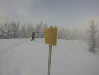
10 km away
Surprise Pass
Lake Louise's entry level Couloir
Difficult Ski Touring
- Distance
- 9.9 km
- Ascent
- 841 m
- Descent
- 841 m
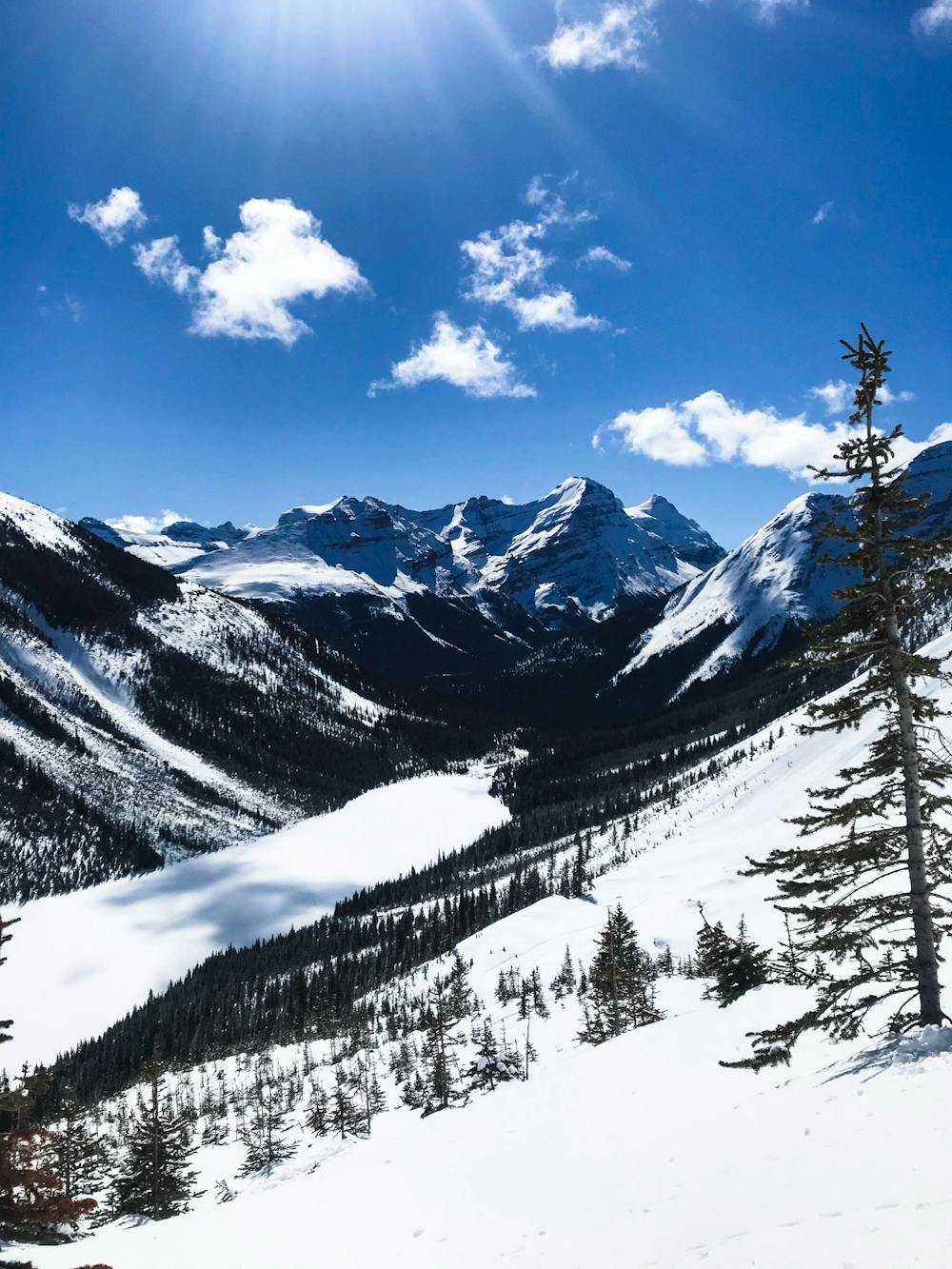
A nice tour with big bowls and impressive views
Ski Touring Moderate

This is a popular ski touring route which is generally considered to be moderate. It's very remote, it features medium exposure (e2) and is typically done between November and May. From a low point of 1.6 km to the maximum altitude of 2.4 km, the route covers 13 km, 1007 vertical metres of ascent and 1006 vertical metres of descent. It's graded 2.2 and Labande grade 3. You'll need skins to complete it safely.
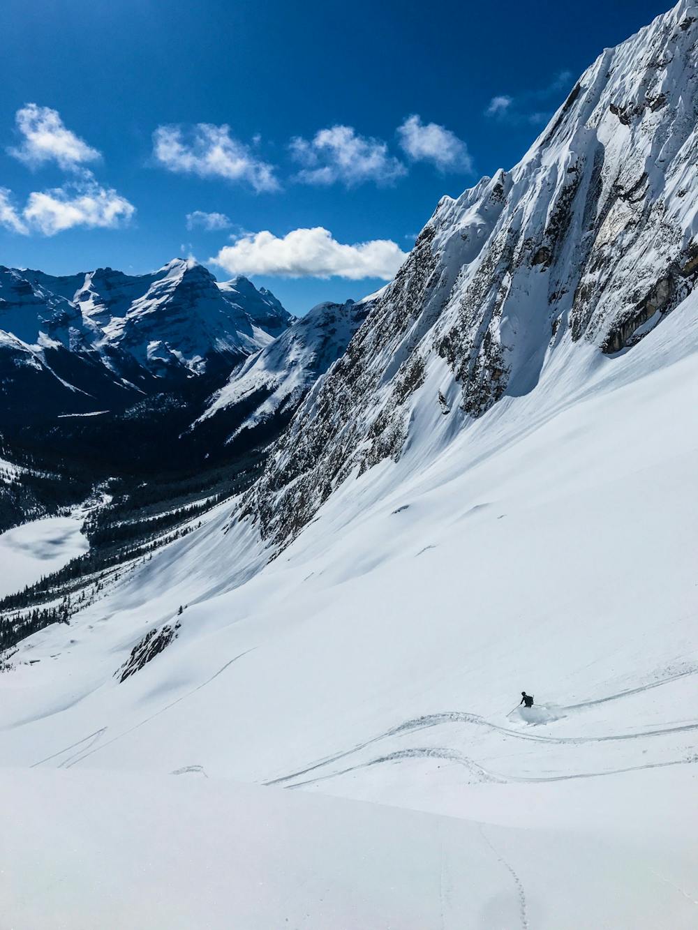
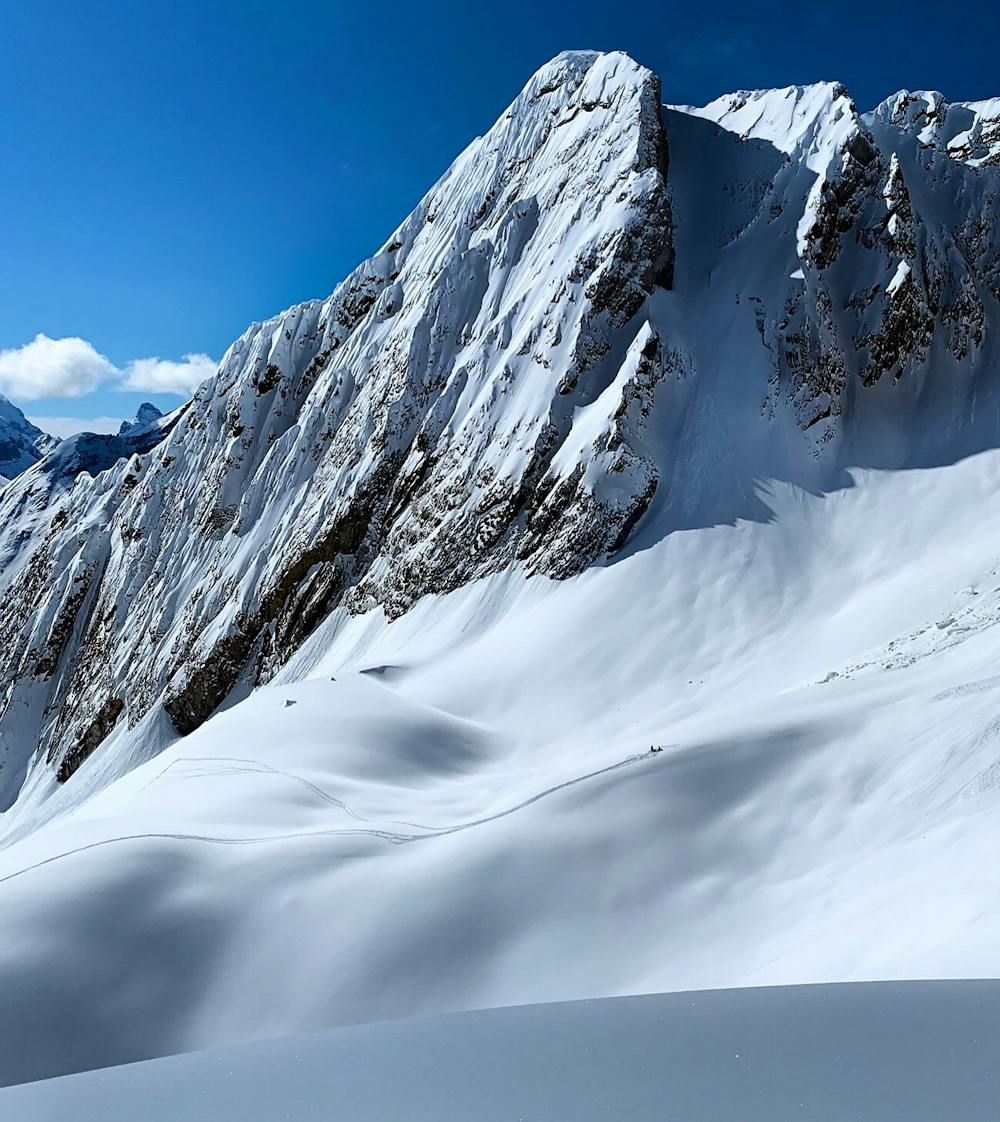
This is a great ski tour if you like big open bowls and powder turns. This is a large area and isn't quickly tracked out. A great non-technical ski tour with fun but not difficult skiiing.
Moderate
Slopes become slightly steeper at around 25-30 degrees.

As well as the slope itself, there are some obstacles (such as rock outcrops) which could aggravate injury.

Little chance of being seen or helped in case of an accident.
10 km away
Lake Louise's entry level Couloir
Difficult Ski Touring