4 m away
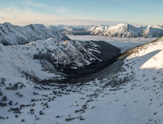
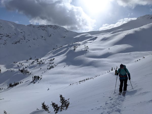
Stonecrop Glacier, Mt Slalok
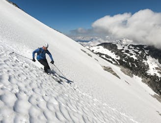
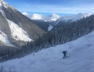
A major glaciated face off the north side of Slalok Peak directly down to Upper Joffre Lake.
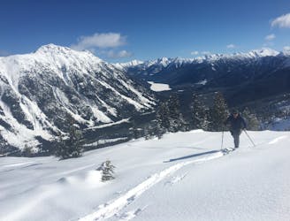
Difficult Ski Touring
- Distance
- 12 km
- Ascent
- 1.5 km
- Descent
- 1.5 km
STH
Ski Touring Difficult

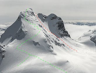
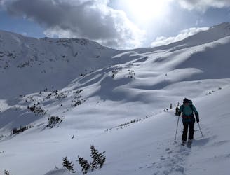
This is a popular ski touring route which is generally considered to be difficult. It's an unknown remoteness, it features unknown exposure and is typically done in an unknown time of year. From a low point of 1.2 km to the maximum altitude of 2.6 km, the route covers 17 km, 2403 vertical metres of ascent and 2402 vertical metres of descent.
STH
Difficult
Serious gradient of 30-38 degrees where a real risk of slipping exists.
4 m away
A major glaciated face off the north side of Slalok Peak directly down to Upper Joffre Lake.
Difficult Ski Touring
5 m away
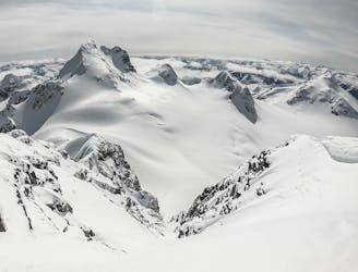
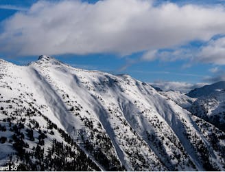
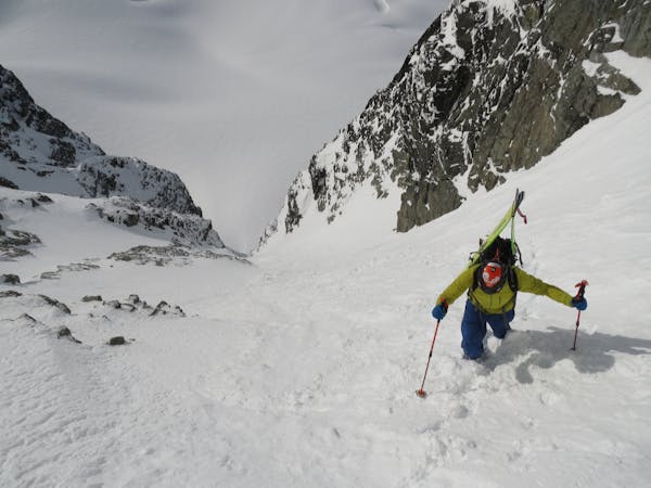
A wide open face on the crown of the Matier group.
Difficult Ski Touring
5 m away
The Coastal skier's intro to big mountain lines!
Difficult Ski Touring
34 m away
A Duffy mega-classic!
Moderate Ski Touring
2.1 km away
Easy access from Pemberton or Lillooet with a variety of skiing make this a classic, forested ski tour.
Moderate Ski Touring
2.1 km away
A pleasant traverse on the north side of the Duffey Lake Road
Moderate Ski Touring
2.1 km away
Ultra classic day tour in a stunning location
Moderate Ski Touring
2.1 km away
Consistent fall line skiing down a series of well-defined avalanche paths
Difficult Ski Touring
2.1 km away
A great intermediate zone with open bowls and easy access
Moderate Ski Touring
2.1 km away
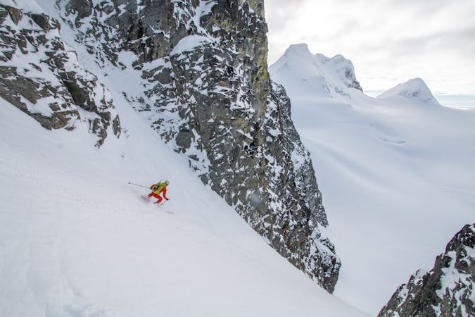
Classic coastal couloir in a wild setting
Severe Ski Touring
3 routes · Ski Touring
5 routes · Ski Touring
4 routes · Ski Touring