St Marks Summit - Winter
Cypress Mountain
A popular Treeline hike to one of Vancouver's most sought after viewpoints
Snow Shoeing Moderate
- Distance
- 11 km
- Ascent
- 737 m
- Descent
- 740 m
- Duration
- 4-5 hrs
- Low Point
- 910 m
- High Point
- 1.3 km
- Gradient
- 26˚

St Marks proximity to Vancouver, and well known status makes it a common route in winter for hikers. It is rare that it doesn't see a couple hikers most days. Despite this popularity this route has climbed a couples lives, and it is worth being prepared and aware of the risks that change in winter. Avalanche Safety Training Level 1 and the appropriate gear is recommended for this route.
- •
- •
- •
- •
- •
- •
- •
- •
- •
Description
Parking rules change here, so be sure to check with BCParks. Generally there is backcountry/hikers lot marked. Before you set out make sure to:
- Make a trip plan and leave it with someone responsible.
- Check the avalanche forecast on Avalanche.ca . If the forecast is considerable do some research, and make a call. If it is High or Extreme don't go past Bowen Lookout.
- Depending on recent snowfall snowshoes or microspikes will be essential. If it hasn't snowed in the past two days microspikes are required. Ice axes and crampons are total overkill. Trekking poles are recommended
- Bring the ten essentials
- Plan for this to take longer than expected as conditions are variable.
- If you are going for the sunset bring a headlamp, extra batteries, and make additional navigational plans, bring a Inreach/Spot, and extra clothing. Getting lost has severe consequences on this route as the surrounding terrain is very steep and dangerous.
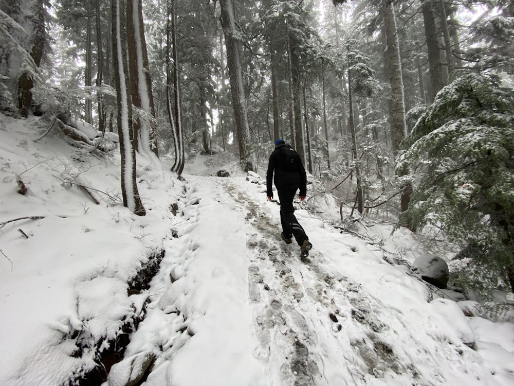
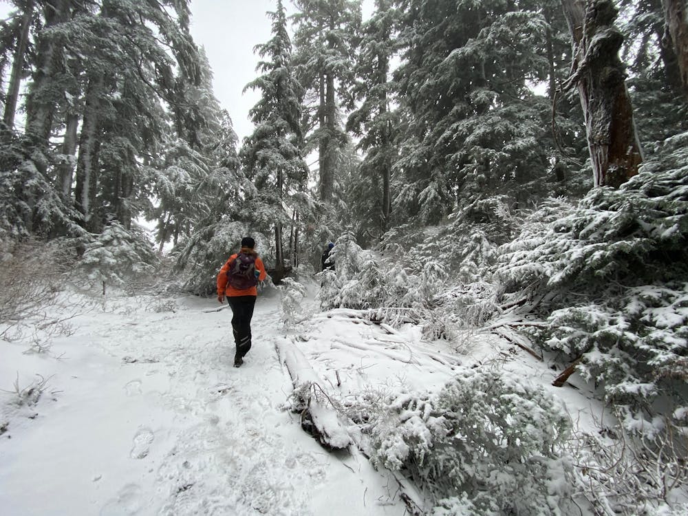
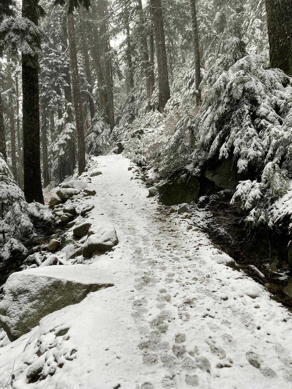
Be courteous to skiers and Cypress Staff when passing through the resort. Where possible try and remain on the designated trails, and avoid clogging open areas where skiers pass. The trailhead begins just North of the Eagle Express chair on the North side of the creek. Once on the trail look for the orange diamonds that mark trails. Be sure to always have at least one in site throughout your journey.
- Follow Yew Trail to a three way intersection, and head north (right) following signs for Howe Sound Crest Trail (may be buried)
- Head uphill to an open section of wide road and go west (left) across the bridge. A smaller trail on the left climbs upwards to the north.
- The trees get older, and taller where the route mellows out before coming to another threeway intersection. Take the westward trail downhill (left)
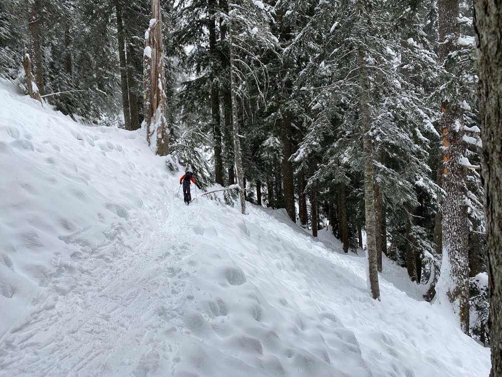
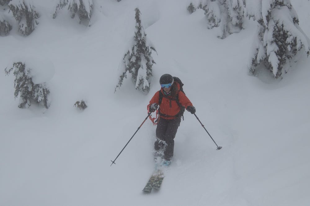
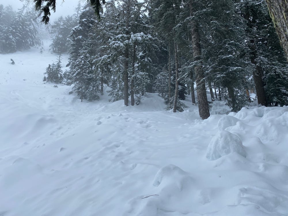
- This section quickly evens out and traverse the north western flank of Mt Strachan. Beware of avalanches here as despite the tree cover they do happen. Avoid cluster in groups and spread out crossing open sections one person at a time.
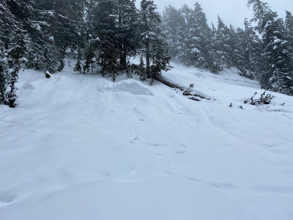
- The trail opens up near the base of Christmas Gulley. This route is often skied. It also is a prime avalanche path. Avoid spending time here.
- Follow the markers along the ridge and up several switchbacks. The trail droops for a moment before a longer final climb to the summit.
The western side of the summit is where the views are best.
Return via the trail you came up, but beware: There are numerous false trails from folks making mistakes or taking photos. Be sure to locate the orange trail markers before committing to a descent. In the past people have began descending only to get trapped in steep gullies after choosing the wrong trail, or making up a "shortcut".
Difficulty
Moderate
Medium Exposure (E2)

As well as the slope itself, there are some obstacles (such as rock outcrops) which could aggravate injury.
Remoteness
Away from help but easily accessed.