Cordon montañoso Cerro Subida del Zorro.
Ránquil
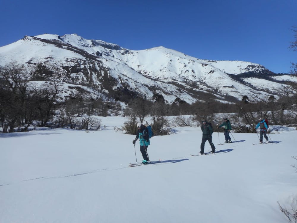
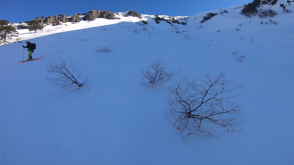
Slopes area, skiing between forests and bowl. South-east faces with excellent snow quality.
Ski Touring Difficult
- Distance
- 12 km
- Ascent
- 864 m
- Descent
- 858 m
- Duration
- 5-6 hrs
- Low Point
- 1.2 km
- High Point
- 2 km
- Gradient
- 40˚

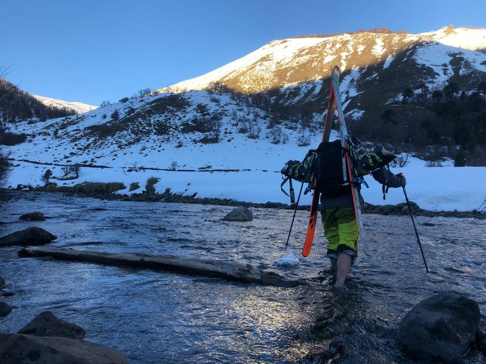
Beginning the drive from Lonquimay, take the road R-791 towards the junction "Ranquil-Pelehue" (R-797). Keep driving for another 22kms. until you get to a red barn that marks the starting point of the uphill. It's recommended to spend the night here to start early the next day, no matter if you are camping or staying in a camper make sure to respect the area, do not trespass places that are indicating private property and leave the place looking better than when you arrived.
- •
- •
- •
- •
- •
- •
- •
- •
Description
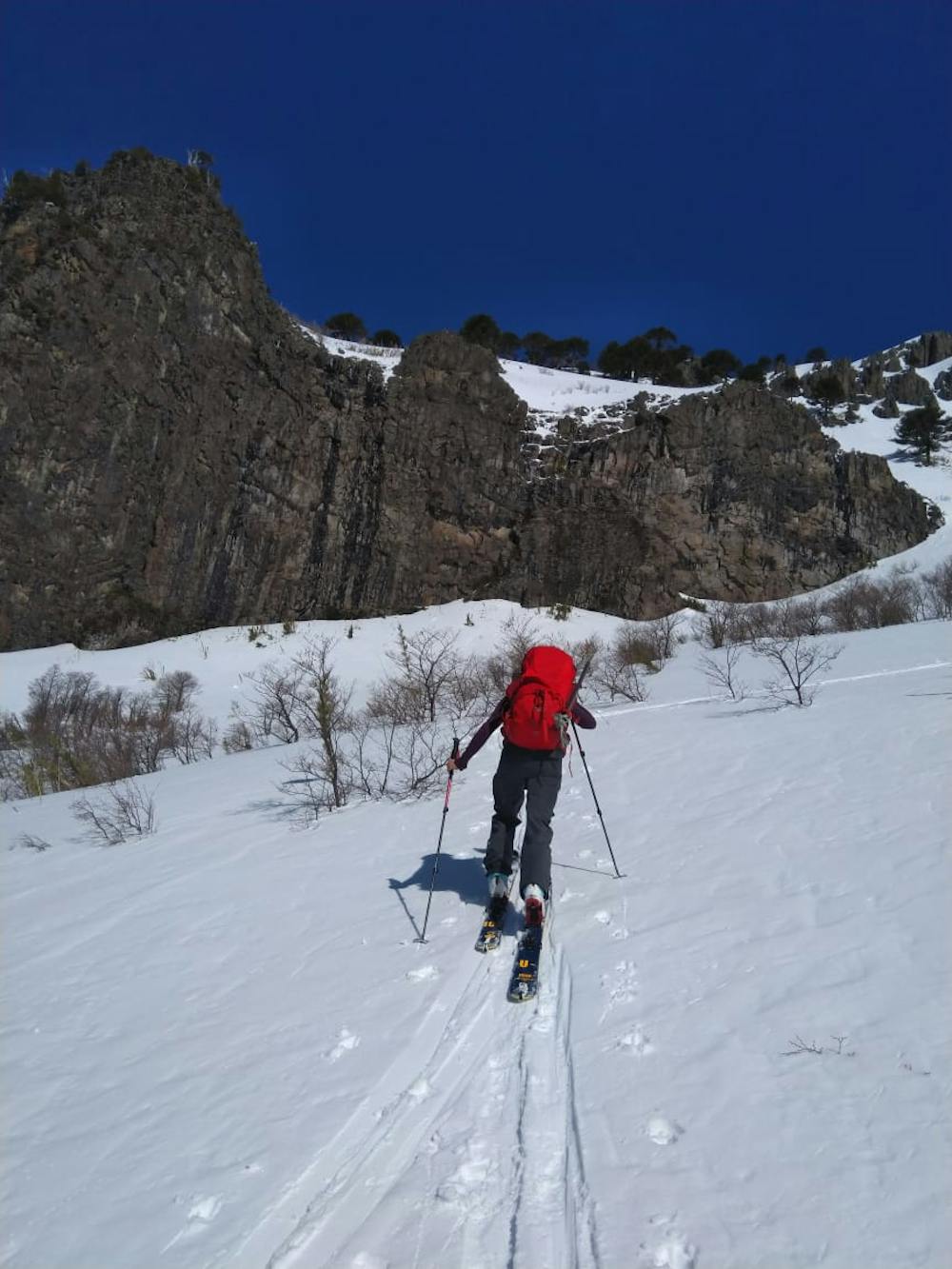
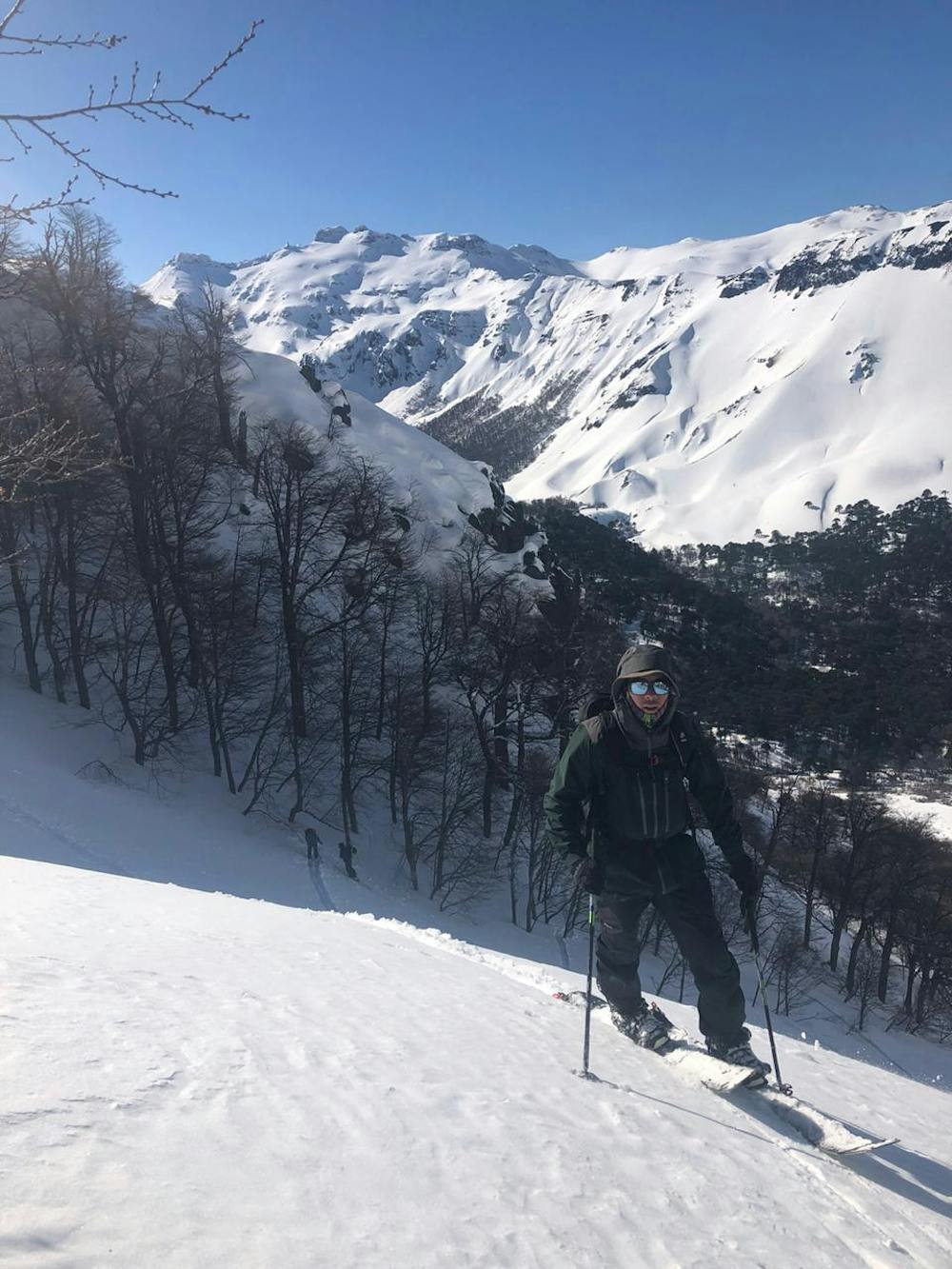
From your basecamp, skin into the valley Ranquil-Pelehue towards the mountains of "Cerro Subida del Zorro". Follow and old path that crosses the river and continue West to ascend via the one gully that has a 15-20m rock wall on the left. It's best to ascend through the less exposed South oriented forest rather than the big open bowl. Continue to the plateau and ake your way South to the summit.
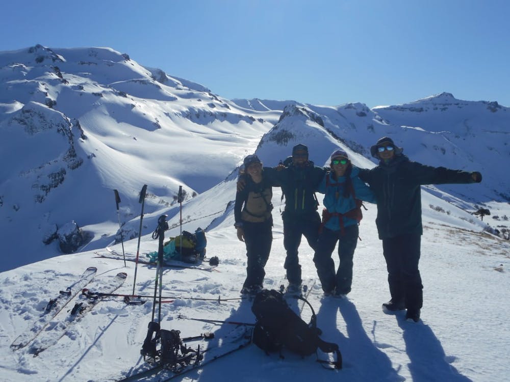
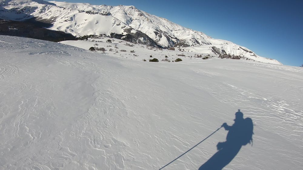
From the summit you will see stunning views to the surrounding mountains with "Cerro Subida Del Zorro" in the foreground.
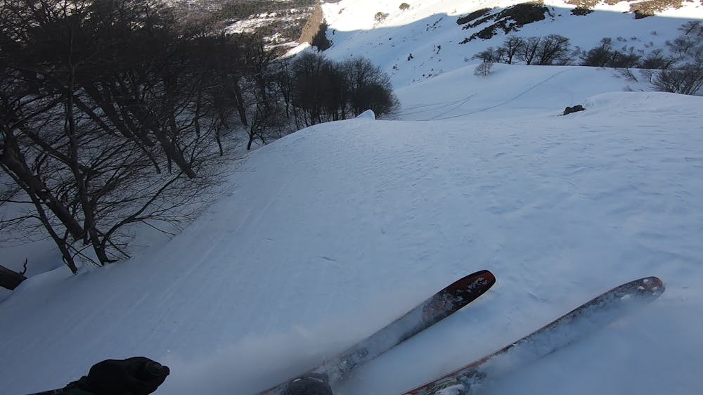
The descent route goes down the same uphill track.
This route is recommended for backcountry skiers with experience in steep terrain in mixed conditions with avalanche education and training.
Difficulty
Difficult
Serious gradient of 30-38 degrees where a real risk of slipping exists.
Medium Exposure (E2)

As well as the slope itself, there are some obstacles (such as rock outcrops) which could aggravate injury.
Remoteness
Away from help but easily accessed.
Best time to visit
Features
- Bowl
- Face
- Alpine
- Cliffs
- Tree Skiing
Equipment required
- Skins