Ranquil-Pelehue
Ránquil
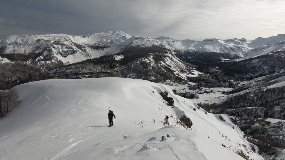
Remote area immersed in the Andes Mountains, Altobiobio sector, Araucania. Backcountry, ski and randonee spot, with skiing on steep or wooded terrain with moderate to high slopes.
Ski Touring Moderate
- Distance
- 13 km
- Ascent
- 1.7 km
- Descent
- 1.6 km
- Duration
- 7-8 hrs
- Low Point
- 1.2 km
- High Point
- 2.2 km
- Gradient
- 39˚

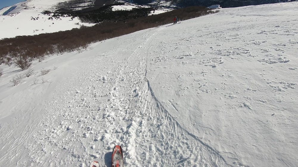
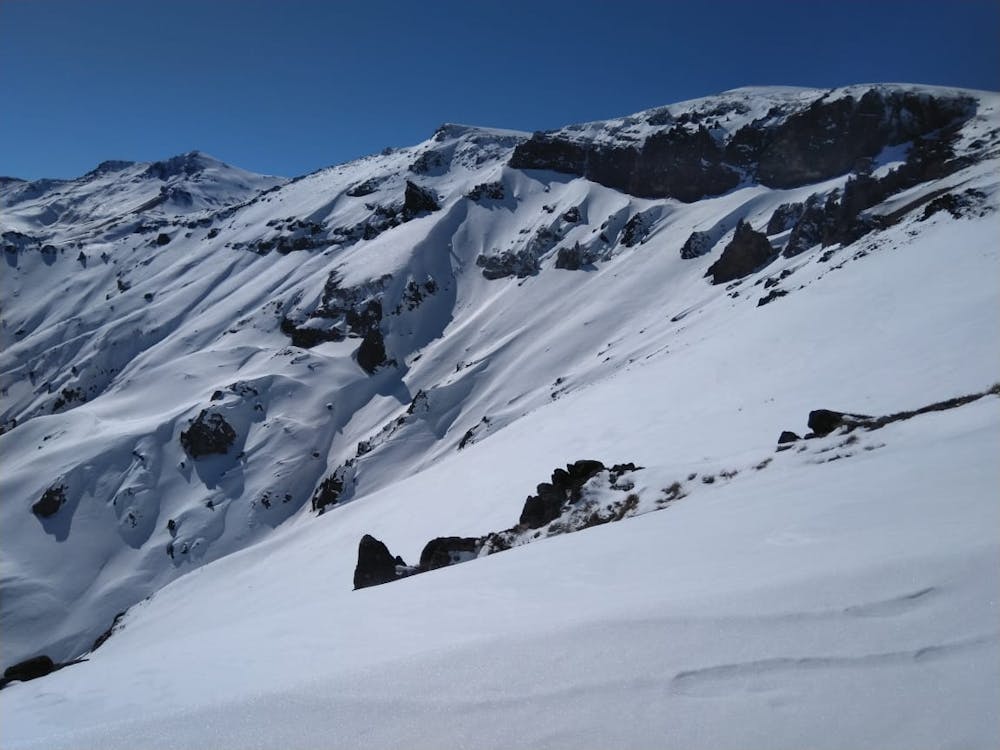
From Lonquimay, take the R-791 road (33 km. Approx.) towards the Ranquil-Pelehue junction (R-797, 22 km approx.) until you reach the red barn that marks the beginning of the route (55 km. Approx.). Sking up the following trail that go into the Ranqui-Pelehue valley and then follow the West ridge to the top. This area shows multiple descent options from exposed rocky slopes to softer south-facing forest. The descent through the forest is a good option to find steep and gentle slopes. This route requires technical experience in both skinning and descent.
- •
- •
- •
Difficulty
Moderate
Slopes become slightly steeper at around 25-30 degrees.
Medium Exposure (E2)

As well as the slope itself, there are some obstacles (such as rock outcrops) which could aggravate injury.
Remoteness

Little chance of being seen or helped in case of an accident.
Best time to visit
Features
- Bowl
- Face
- Alpine
- Tree Skiing
Equipment required
- Skins
- Crampons