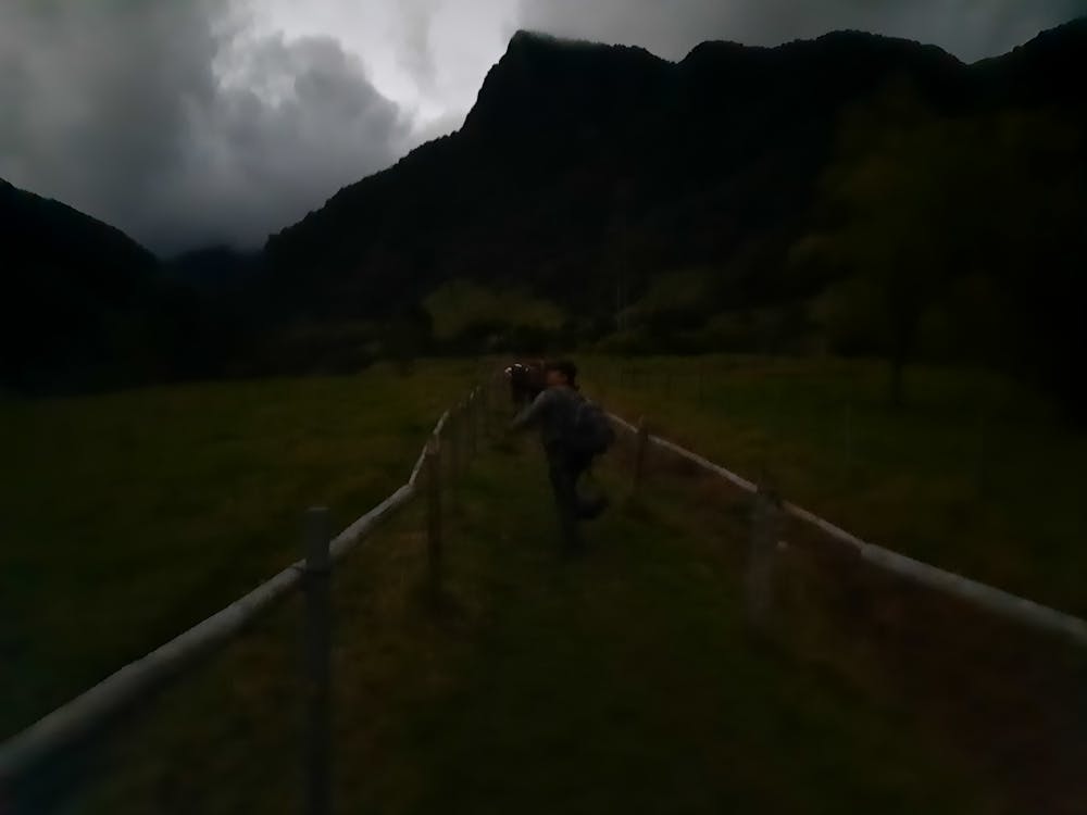
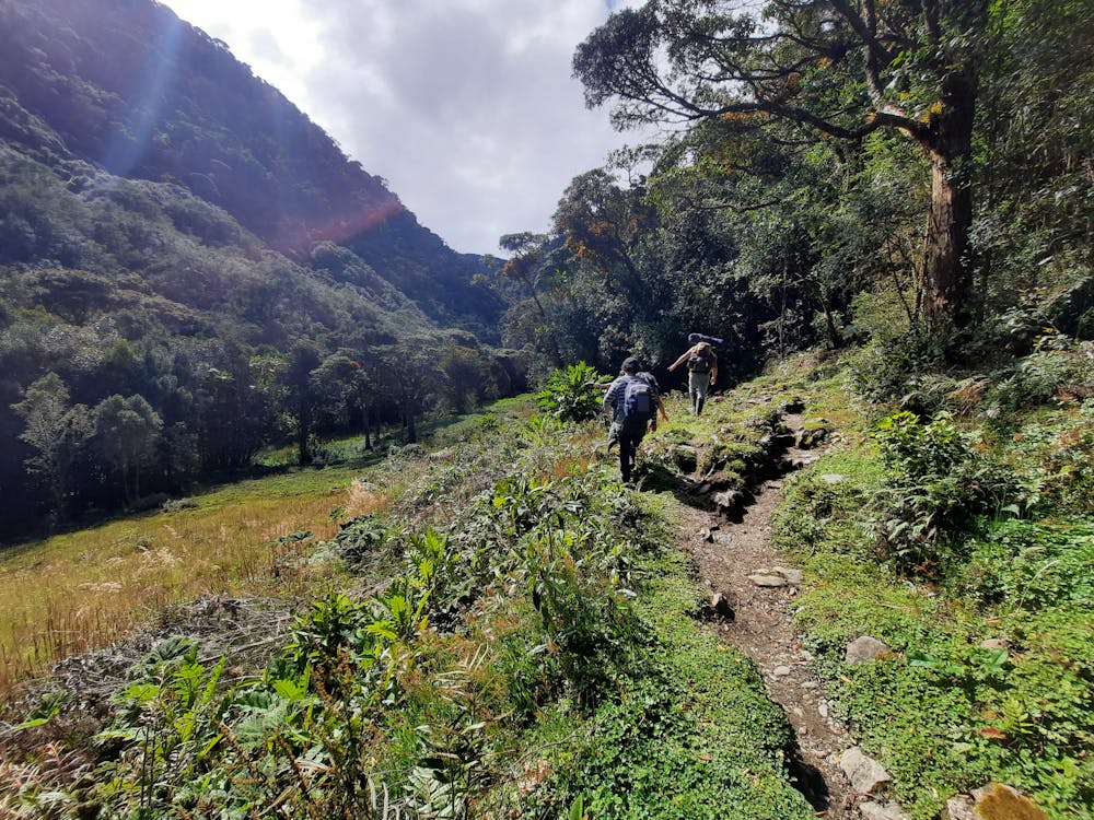
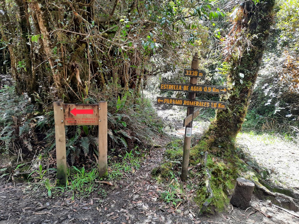
Cócora a finca la playa dia 1
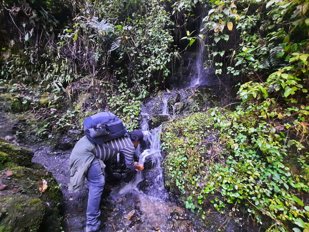
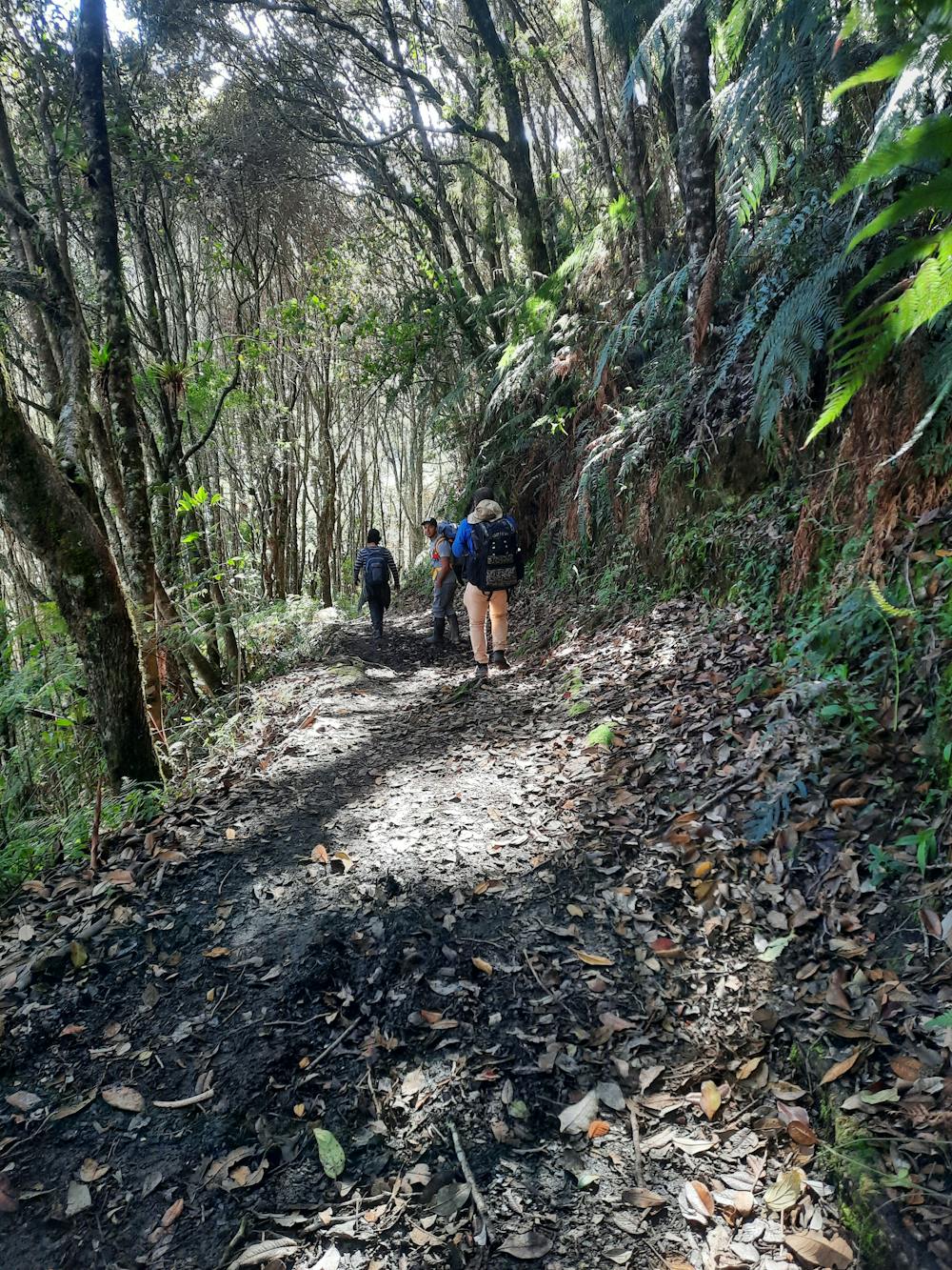
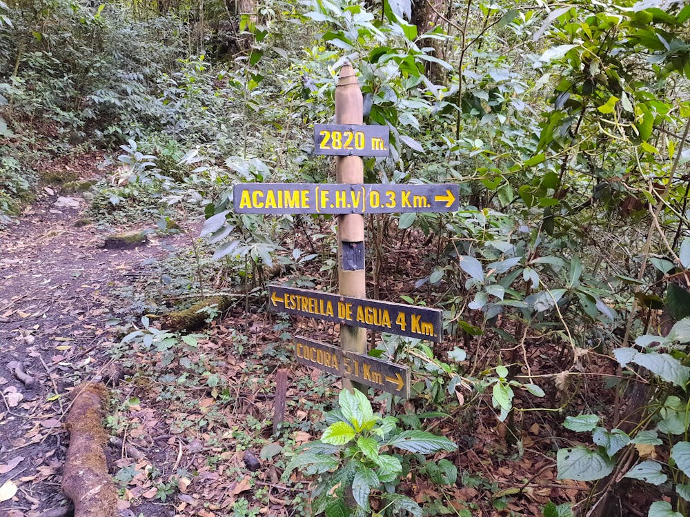
Salida desde la truchera en valle de cocora, pasamos los puentas hasta finca acaime subimos a estrella de agua y de ay hasta la finca la playa
Also in Quindío, Colombia
Hiking Difficult
- Distance
- 15 km
- Ascent
- 1.7 km
- Descent
- 409 m
- Duration
- 5-6 hrs
- Low Point
- 2.4 km
- High Point
- 3.9 km
- Gradient
- 18˚

This is a popular hiking route which is generally considered to be difficult. It's remote, it features medium exposure and is typically done in June and November. From a low point of 2.4 km to the maximum altitude of 3.9 km, the route covers 15 km, 1721 vertical metres of ascent and 409 vertical metres of descent.
- •
- •
- •
- •
- •
- •
- •
- •
- •
- •
Description
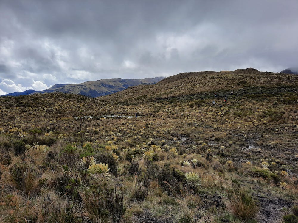
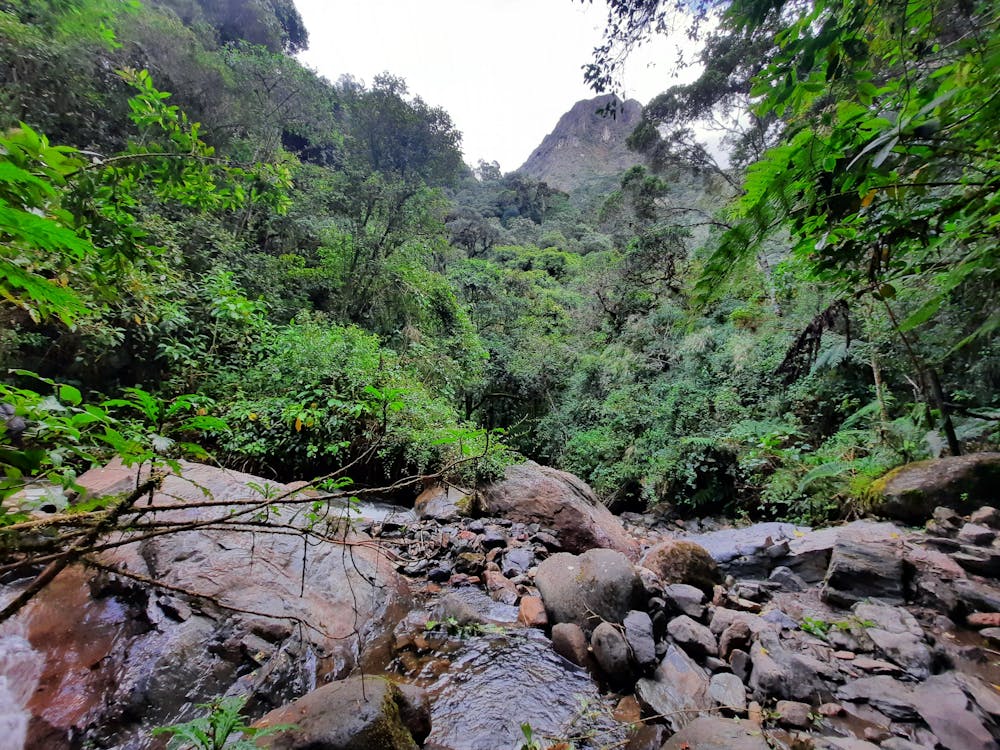
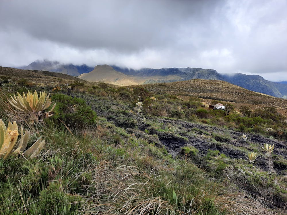
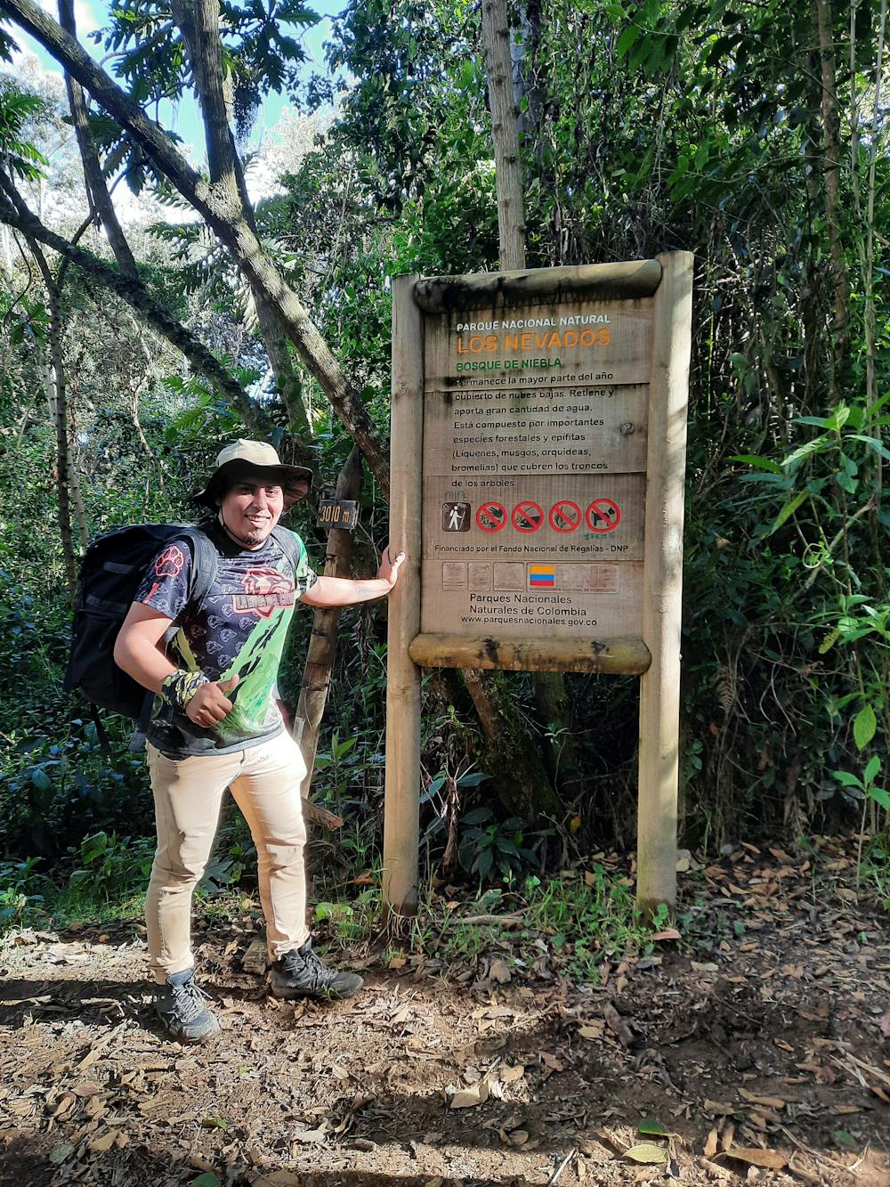
Una Aventura maravillosa donde puedes vivir el Bosque de niebla, el paramo, nevadas y llegar a una de las cimas mas difíciles de Colombia al Nevado del Tolima. o Puedes ir al Paramillo del Quindio a los termales del Cañon y mucho mas en el Parque los Nevados.
Difficulty
Difficult
Hiking trails where obstacles such as rocks or roots are prevalent. Some obstacles can require care to step over or around. At times, the trail can be worn and eroded. The grade of the trail is generally quite steep, and can often lead to strenuous hiking.
Medium Exposure

The trail contains some obstacles such as outcroppings and rock which could cause injury.
Remoteness
Away from help but easily accessed.
Best time to visit
Features
- Wildlife
- Summit Hike