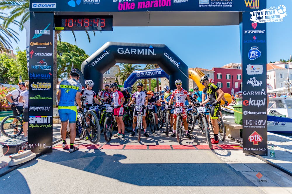
Bura 2019
The longest route in the Uvati vitar race
Mountain Biking Difficult
- Distance
- 77 km
- Ascent
- 1.7 km
- Descent
- 1.7 km
- Duration
- 6-7 hrs
- Low Point
- 0 m
- High Point
- 752 m
- Gradient
- 6˚

This is a popular mountain biking route which is generally considered to be difficult. It's remote, it features high exposure and is typically done in April, May, September and October. From a low point of 0 m to the maximum altitude of 752 m, the route covers 77 km, 1662 vertical metres of ascent and 1660 vertical metres of descent.
Description
Beautiful views
Difficulty
Difficult
Mostly stable trail tread with some variability featuring larger and more unavoidable obstacles that may include, but not be limited to: bigger stones, roots, steps, and narrow curves. Compared to lower intermediate, technical difficulty is more advanced and grades of slopes are steeper. Ideal for upper intermediate riders.
High Exposure

Some trail sections have exposed ledges or steep ascents/descents where falling could cause serious injury.
Remoteness

Away from help but easily accessed.
Best time to visit
Features
- Technical
- Picturesque
- Singletrack
- Road sections
- Rock Gardens