Cotopaxi Circuit
A high-altitude circumnavigation of an active volcano, across an otherworldly landscape in Ecuador's Cotopaxi National Park.
Hiking Difficult
- Distance
- 117 km
- Ascent
- 3.2 km
- Descent
- 3.2 km
- Duration
- 1 day +
- Low Point
- 3 km
- High Point
- 4.8 km
- Gradient
- 15˚

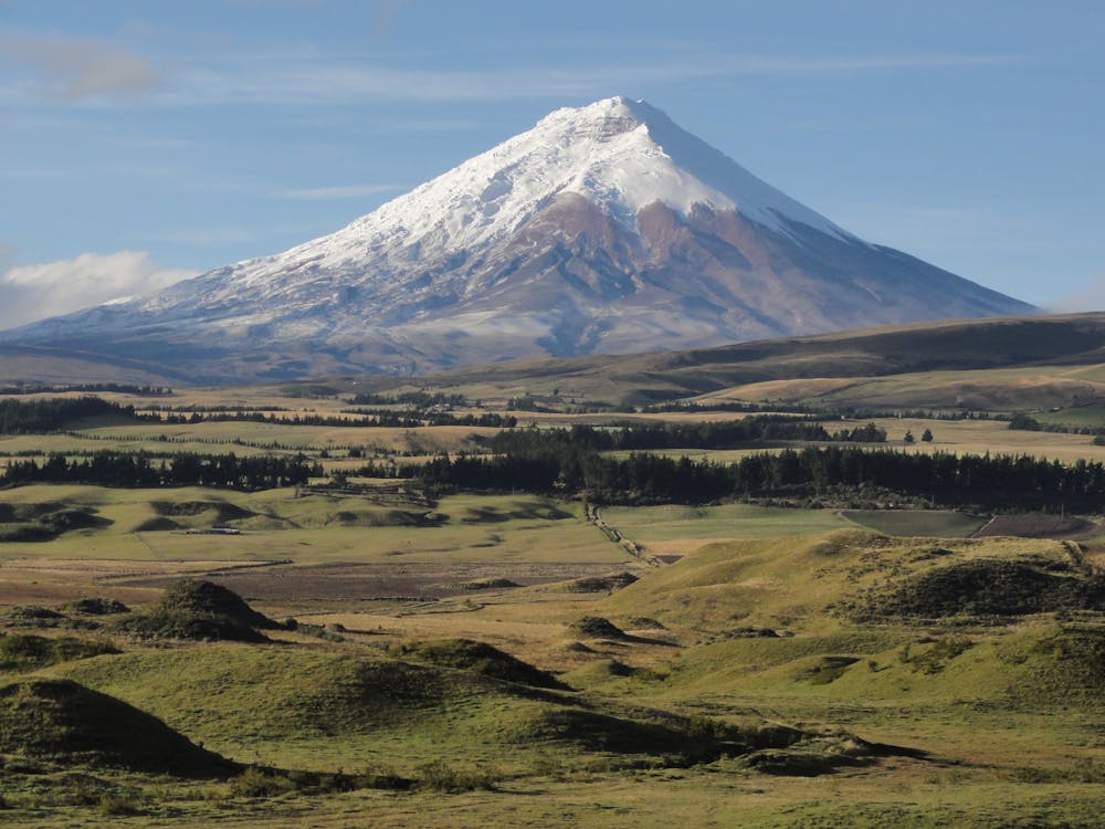
Volcán Cotopaxi is the second highest point in Ecuador, and one of the tallest active volcanoes in the world. Despite its location near the equator, the extreme elevation of Cotopaxi keeps it capped in snow year-round, and the rugged paramo grasslands of the surrounding highland are as barren as tundra. The glaciated cone towers to 5,897m above a post-apocalyptic landscape created by fire and ice.
- •
- •
- •
- •
Description
Snaking outward from the mountain’s flanks are deep canyons of cinder slopes and snowmelt creeks. The furrows tumble onto rock-strewn grassland punctuated by black lava domes and igneous escarpments, inhabited by wild horses, llamas, foxes, and pumas. A circuit trek around the volcano is the best way to see it all, including parts unknown to most visitors of this national park.
The circuit has many possible variations among the spiderweb of roads and livestock trails that encircle the mountain. The route mapped here utilizes mostly dirt roads, with some connecting footpaths here and there. A portion parallels an irrigation canal that snakes along the northeast slopes.
As mapped, the trek starts and finishes in the town of Mulalo, but a reasonable abbreviation would be to trek only between Mulalo and either the west park entrance or Laguna Limpiopungo. This cuts out a lot of busy road walking without sacrificing much in scenery.
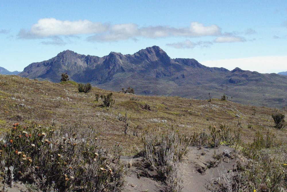
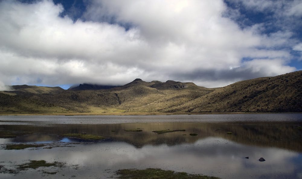
In the steep-sided valleys south and east of the mountain, you aren’t likely to see other people for long stretches at a time, walking along remote ranch roads. The north side gets most of the traffic. This is where hikers come to visit Laguna Limpiopungo, Refugio Jose Rivas, established campgrounds, and various trails on Cotopaxi and Volcán Rumiñahui. Therefore, completing the full circuit earns a nice blend of solitude on the south flanks and company on the north flanks.
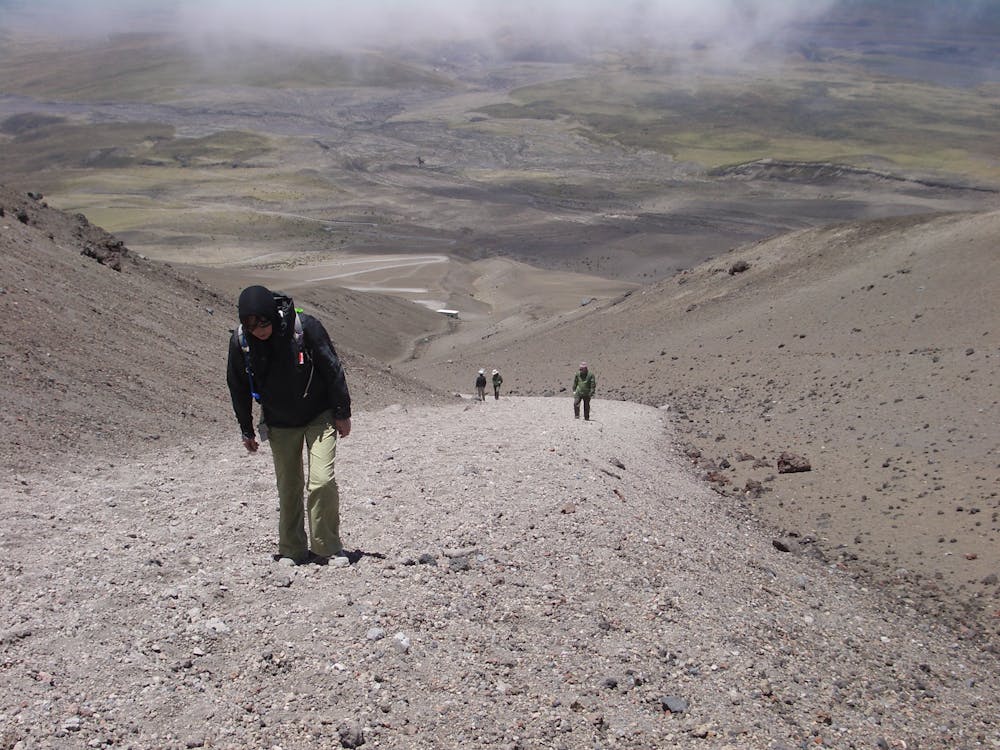
The route as mapped includes a side trip to Refugio Jose Rivas high on the mountain, nearly at the snow line. This is, of course, optional, but as a staple destination for many visitors to Cotopaxi, the climb up the volcano is certainly worthwhile, and you can stay the night. To save time, you can catch a ride up the road then hike only the standard trail from the parking lot to the Refugio.
On the rest of the circuit, you will need to be self-sufficient with camping gear and other supplies. Water sources are generally plentiful, but you may pass through long dry stretches. Within national park boundaries, camping is allowed only in designated areas. When hiking on the east and north side of the mountain you will be inside the park, and camping is scarce on the east side, so plan your itinerary accordingly. If you cannot make the distance in between campgrounds in one day, you may have to swing your circuit route wider, in order to exit the park and find camping or a guesthouse in a nearby town.
The park boundary does not extend all the way to the circuit route on the south side, so camping is at large. You will be traveling a mix of public and private roads, so be extra respectful of property and be careful about where you spend the night. Don’t intrude on anyone’s space. If you pass through any closed gates, be sure to close them behind you so livestock don’t escape. If you encounter people, be polite and ask permission to cross their property.
Sources: https://www.walkopedia.net/walks/display-walk.asp?WalkID=2327 https://www.thehikinglife.com/2010/10/cotopaxi-circuit-ecuador-2004/
Difficulty
Difficult
Hiking trails where obstacles such as rocks or roots are prevalent. Some obstacles can require care to step over or around. At times, the trail can be worn and eroded. The grade of the trail is generally quite steep, and can often lead to strenuous hiking.
Low Exposure

The path is on completely flat land and potential injury is limited to falling over.
Remoteness

Away from help but easily accessed.
Best time to visit
Features
- Alpine
- Wildlife
- Historical
- Picturesque
- Wild flowers
- Water features
- Forestry or heavy vegetation