3.5 km away
Via Alpina: Limone Piemonte to Limonetto
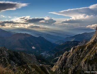
The first stage of the Via Alpina 7 day itinerary from the mountain village of Limone Piemonte down to the Mediterranean.
Easy Hiking
- Distance
- 4 km
- Ascent
- 303 m
- Descent
- 16 m
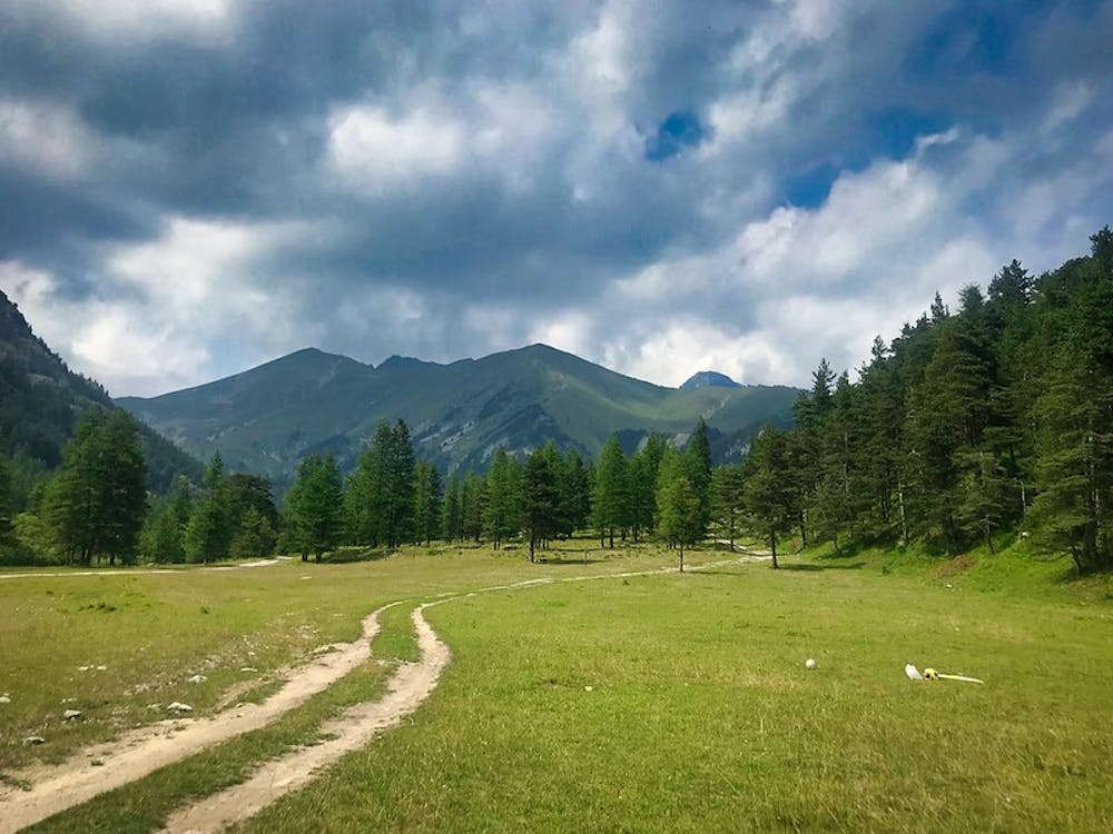
Day 2 of the 7 day Via Alpina Red itinerary from the italian Alps down to Monaco.
Also in Cuneo, Italy
Hiking Moderate

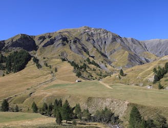
Following the Via Alpina Red Trail, you begin with a gentle incline up the Rio Prati della Chiesa River Valley. The trail then suddenly becomes a lot steeper as it climbs through woodland and up across scree slopes. Make sure to watch your footing on the sliding rocks, as this section can be quite a scramble! The trail eventually reaches the Baisse de Salente Pass. Look out for Fort de Giaure, an old Italian military base right on the French border. Cross over into France and begin to descend, now passing relics of French military history, including several bunkers and the old Perfique Barracks before arriving at the small hamlet of Casterino, where you can spend the night at a small family-run inn, the Gite Santa Maria Maddalena. This section of the route follows the Via Alpina Red section 148 in reverse, for more details go to: http://www.via-alpina.org/en/stage/328
Moderate
Hiking along trails with some uneven terrain and small hills. Small rocks and roots may be present.

The trail contains some obstacles such as outcroppings and rock which could cause injury.
Away from help but easily accessed.
3.5 km away
The first stage of the Via Alpina 7 day itinerary from the mountain village of Limone Piemonte down to the Mediterranean.
Easy Hiking
9.1 km away
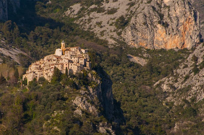
Day 3 of the Via Alpina Red hiking itinerary takes you into Mercantour National Park and through the famous Vallée des Merveilles.
Difficult Hiking
7 routes · Hiking