Aiguille de la Bérengère - in a single push
Arve Valley
Megève Evasion Mont Blanc
With only day trips allowed in France, it makes for big days if you want to get to the summit!
Freeride Skiing Moderate
- Distance
- 25 km
- Ascent
- 2.5 km
- Descent
- 2.5 km
- Low Point
- 1.2 km
- High Point
- 3.4 km
- Gradient
- 32˚

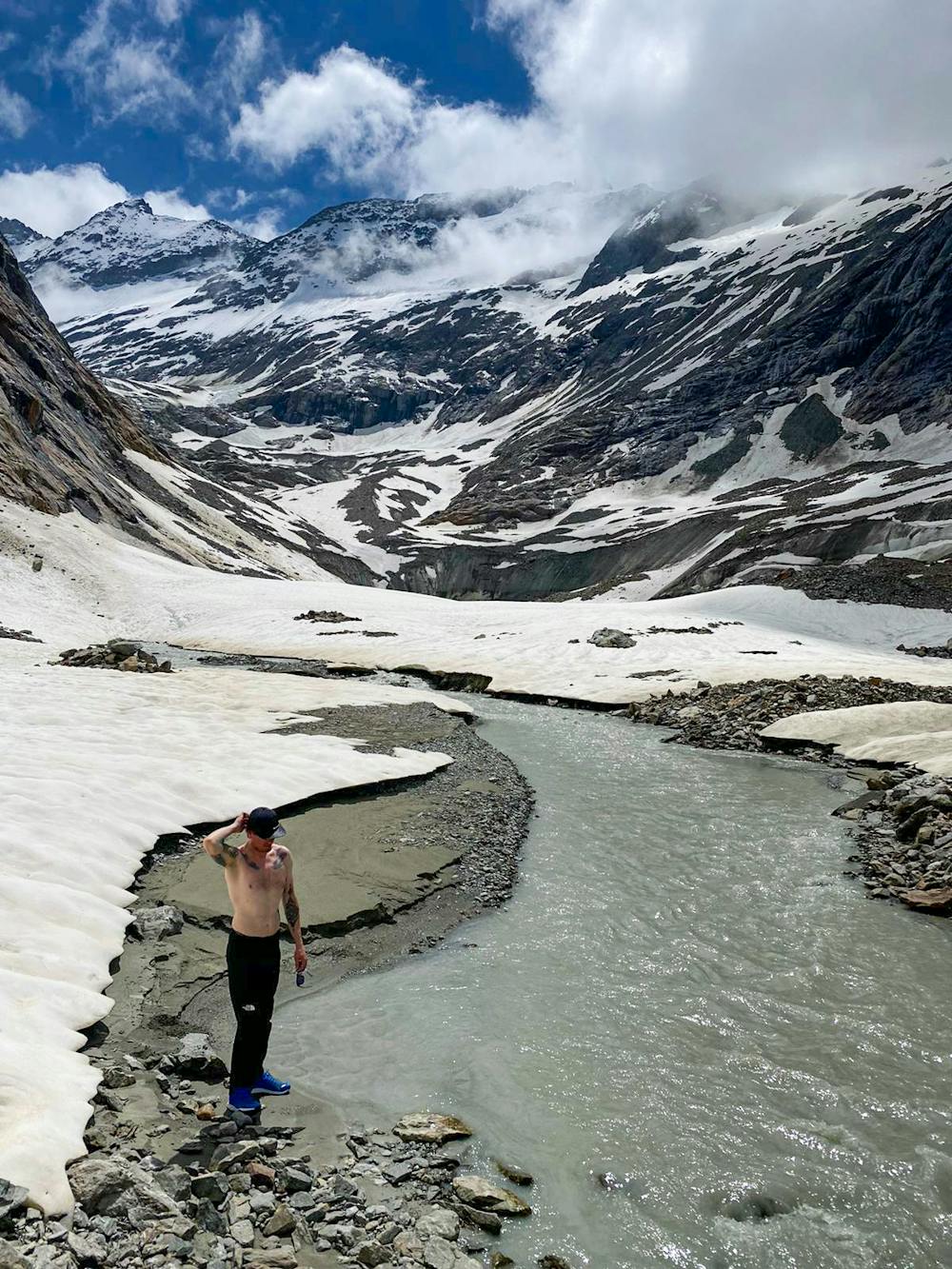
26km, 2,477m+ and 8h52m car to car took us from the valley floor to the summit of the Aiguille de la Bérangère at 3,425m.
- •
- •
- •
- •
- •
- •
Description
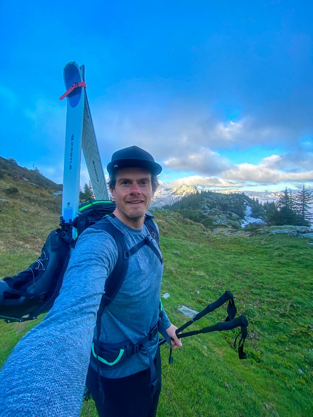
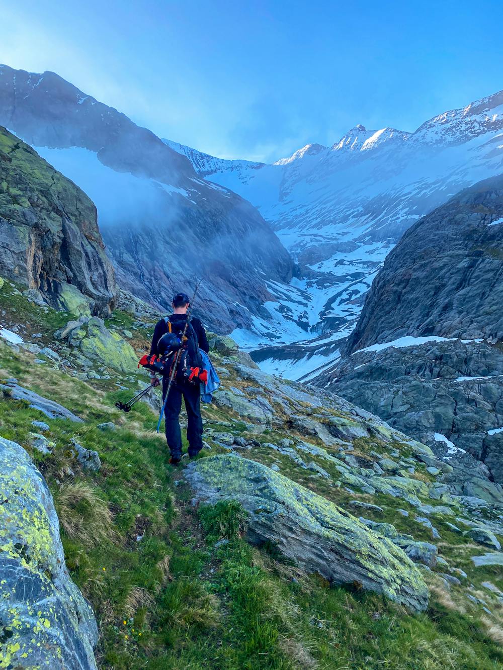
This area of the Mont Blanc Massif is super wild and remote so we kept things very conservative with line choice and objective but it was HARD.
My mind has got soft over confinement. I very easily could have turned around after the first hour at the Tre La Tête refuge.
Or a dozen times after that.
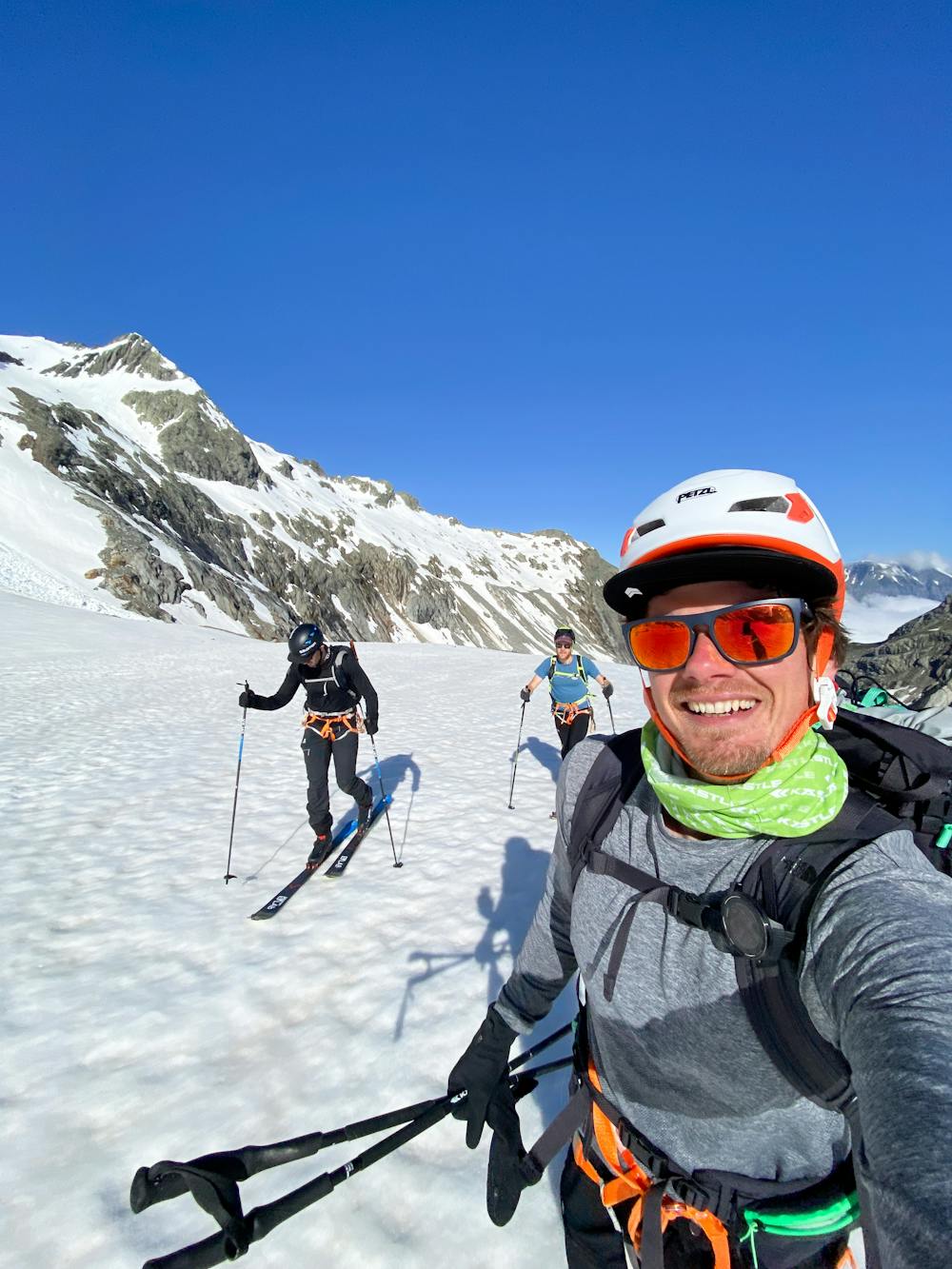
But Grant Fulton and Jole Evans were having none of it and so onwards we forged.
It feels so good to be back in the mountains. Now, let’s start rebuilding. @ Aiguille De La Bérangère, 3425m
Difficulty
Moderate
Slopes become slightly steeper at around 25-30 degrees.
Medium Exposure (E2)

As well as the slope itself, there are some obstacles (such as rock outcrops) which could aggravate injury.
Remoteness
Away from help but easily accessed.
Best time to visit
Features
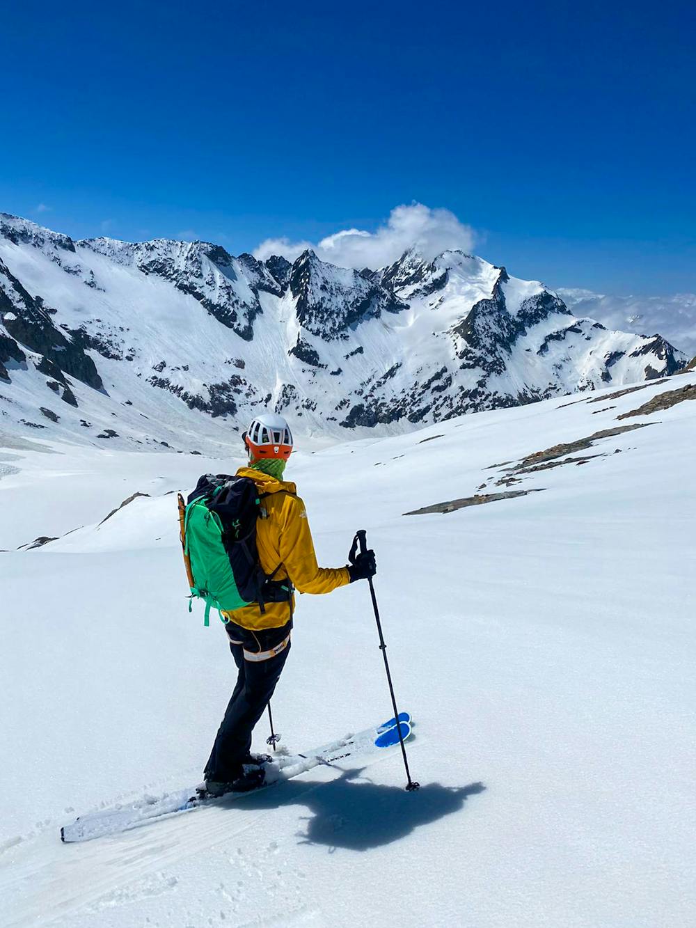
- Glacier
- Walk Required
Equipment required
- Rope
- Skins
- Ice axe
- Glacier kit