2.8 km away
Moraine des Rognons

An interesting direct line through the moraine wall to the Argentiere Glacier
Difficult Freeride Skiing
- Distance
- 1 km
- Ascent
- 0 m
- Descent
- 537 m
A mythical line down the north face of Les Courtes, opened by Serge Cachet-Rosset in 1971.
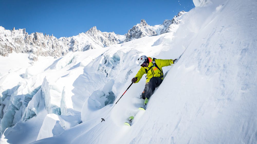
Freeride Skiing Extreme

This is a popular freeride skiing route which is generally considered to be extreme. It's an unknown remoteness, it features unknown exposure and is typically done in an unknown time of year. From a low point of 2.7 km to the maximum altitude of 3.7 km, the route covers 4.2 km, 1136 vertical metres of ascent and 1130 vertical metres of descent.
From the Argentière Refuge, traverse across the Argentiere Glacier or continue the high traverse all the way across, through very crevassed glacier, to the foot of the N Face of les Droites, before skinning to the foot of the face. Climb the route and ski down the same way.
Extreme
Extreme skiing terrain above 45 degrees. These routes are reserved for experienced experts.
2.8 km away
An interesting direct line through the moraine wall to the Argentiere Glacier
Difficult Freeride Skiing
2.8 km away

An alternative to the main Dome line.
Difficult Freeride Skiing
3.2 km away
A serious glacier run in the spectacular Argentiere Glacier basin
Difficult Freeride Skiing
3.2 km away
A wide open glacier run with a steep exit
Difficult Freeride Skiing
3.4 km away

A short steep hanging snowfield, approached by a scramble over the Grands Montets summit
Severe Freeride Skiing
3.4 km away
A legendary Chamonix off-piste run. Serious skiing in a spectacular big mountain environment
Difficult Freeride Skiing
3.4 km away

An imposing line down the small glacier at the top of the front face of the Grands Montets
Difficult Freeride Skiing
3.5 km away

A hidden gem; varied and interesting skiing high above the Argentiere Glacier
Difficult Freeride Skiing
3.6 km away

A wide open glacier run in a small dip below the bounding cliffs
Moderate Freeride Skiing
3.8 km away
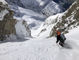
A steep, narrow couloir in wild high mountain terrain
Severe Freeride Skiing