7.8 km away
Aiguille Verte et lac de Lessy
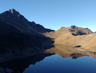
A classic lake and summit combination.
Severe Hiking
- Distance
- 13 km
- Ascent
- 1.1 km
- Descent
- 1.1 km
wanderung ab La Clusaz
Hiking Severe

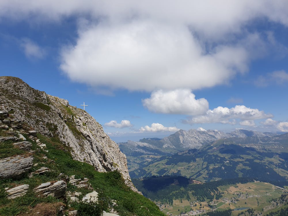
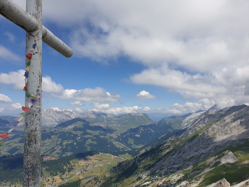
This is a popular hiking route which is generally considered to be severe. It's remote, it features medium exposure and is typically done in undefined. From a low point of 1 km to the maximum altitude of 2.3 km, the route covers 13 km, 1322 vertical metres of ascent and 497 vertical metres of descent.
Mittelschwere Wanderung mit schönner Aussicht
Severe
Hiking challenging trails where simple scrambling, with the occasional use of the hands, is a distinct possibility. The trails are often filled with all manner of obstacles both small and large, and the hills are very steep. Obstacles and challenges are often unexpected and can be unpredictable.

The trail contains some obstacles such as outcroppings and rock which could cause injury.
Away from help but easily accessed.
7.8 km away
A classic lake and summit combination.
Severe Hiking