531 m away
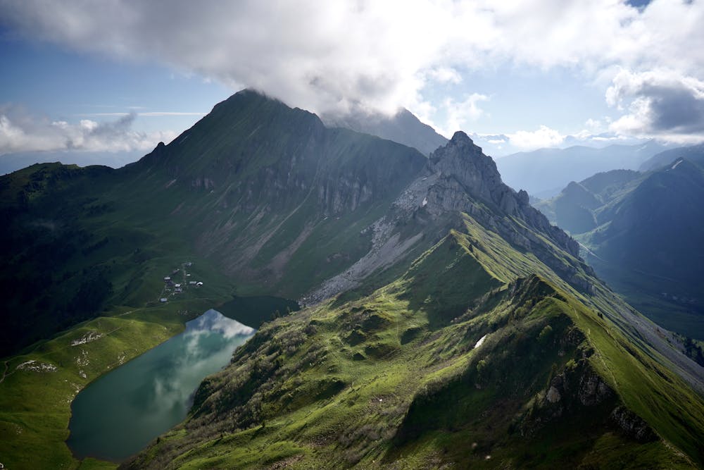
Aiguille Verte et lac de Lessy
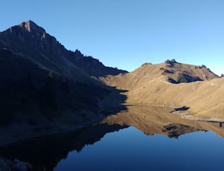
A classic lake and summit combination.
Severe Hiking
- Distance
- 13 km
- Ascent
- 1.1 km
- Descent
- 1.1 km
Raphaël Garagnon route
Hiking Moderate

Classical hike in the heart of the Bargy (Massif des Bornes). In summer time, going up to the Aiguille Verte is not difficult although it is a little steep and a little exposed to slips, especially upwards, in muddy conditions. It can also be done on skis during winter if there is good snow conditions. In winter, be aware of possible avalanches that may fall from the sides of the Aiguille Verte (south-east oriented). Enjoy a stunning 360° view on the Bornes, the Lessy Lake, the Aravis, & the Mont Blanc
Moderate
Hiking along trails with some uneven terrain and small hills. Small rocks and roots may be present.

Some trail sections have exposed ledges or steep ascents/descents where falling could cause serious injury.

Away from help but easily accessed.
531 m away
A classic lake and summit combination.
Severe Hiking
5.3 km away
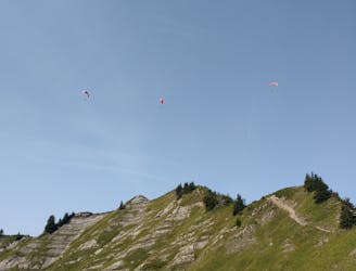
Scramble/climb up a relatively technical ascent to the top of Pointe Percée.
Extreme Hiking