5 m away
Monts Veyrier and Baron Traverse
A classic ridge traverse along 2 prominent and famous peaks.
Difficult Hiking
- Distance
- 12 km
- Ascent
- 1 km
- Descent
- 1 km
by Raphaël Garagnon
Hiking Difficult

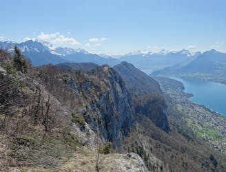
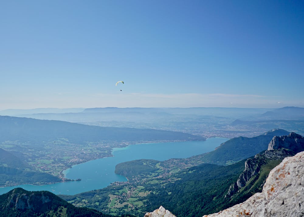
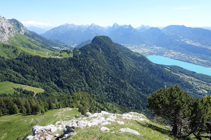
Start not so far from the small port of Annecy-le-Vieux, heading to Talloires. Some signs indicate Mont Veyrier. Go all the way up to Mont Veyrier via the Col des Sauts (where you will get a first nice view on the lake). Continue on the beautiful aerial ridge towards Mont Baron. Keep going until the old cable-car platform. Then go down to Col des Contrebandiers and join the Col de Bluffy. Follow the road inside the small village of Bluffy for about 10 minutes. Once you see the trail on the left side, take it to reach Planfait (famous take-off spot for paragliding). From Planfait, join the Chalets de l'Aulp. The ascent is steep but safe. From l'Aulp going up to La Tournette is quite obvious: the trail is very well marked. Getting to the summit is not too complicated but beware in wet conditions or if there's snow remaining. Some cables and chains are available in few passages and two metal ladders have been installed to reach the summit.
Difficult
Hiking trails where obstacles such as rocks or roots are prevalent. Some obstacles can require care to step over or around. At times, the trail can be worn and eroded. The grade of the trail is generally quite steep, and can often lead to strenuous hiking.

The trail contains some obstacles such as outcroppings and rock which could cause injury.
Away from help but easily accessed.
5 m away
A classic ridge traverse along 2 prominent and famous peaks.
Difficult Hiking
1 routes · Hiking