61 m away
Mont Buet
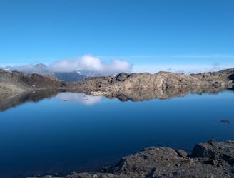
Challenging alpine hike that summits Mont Buet along with other nearby peaks.
Extreme Hiking
- Distance
- 24 km
- Ascent
- 2.1 km
- Descent
- 2.1 km
A short and easy walk to the waterfall (Cascade de Berard) and buvette / hut
Hiking Easy

This is a popular hiking route which is generally considered to be easy. It's not remote, it features low exposure and is typically done between June and September. From a low point of 1.3 km to the maximum altitude of 1.4 km, the route covers 840 m, 99 vertical metres of ascent and 0 vertical metres of descent.
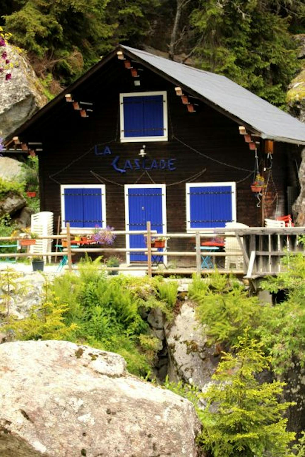
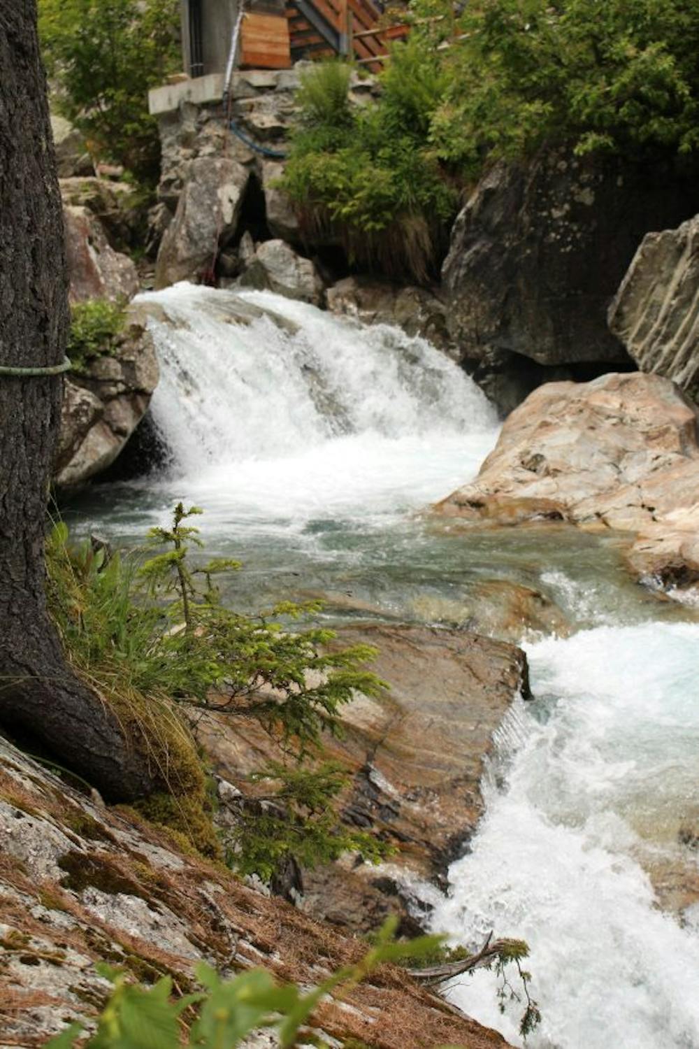
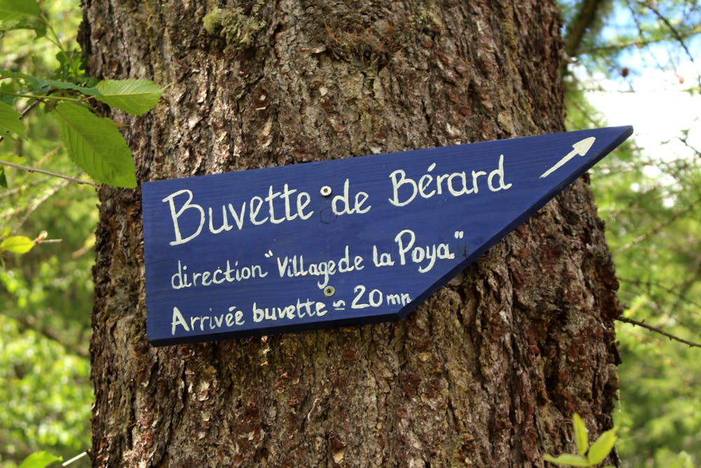
A pleasant and easy walk to the waterfall and buvette at the Cascade de Buet. Perfect for a short outing with the family.
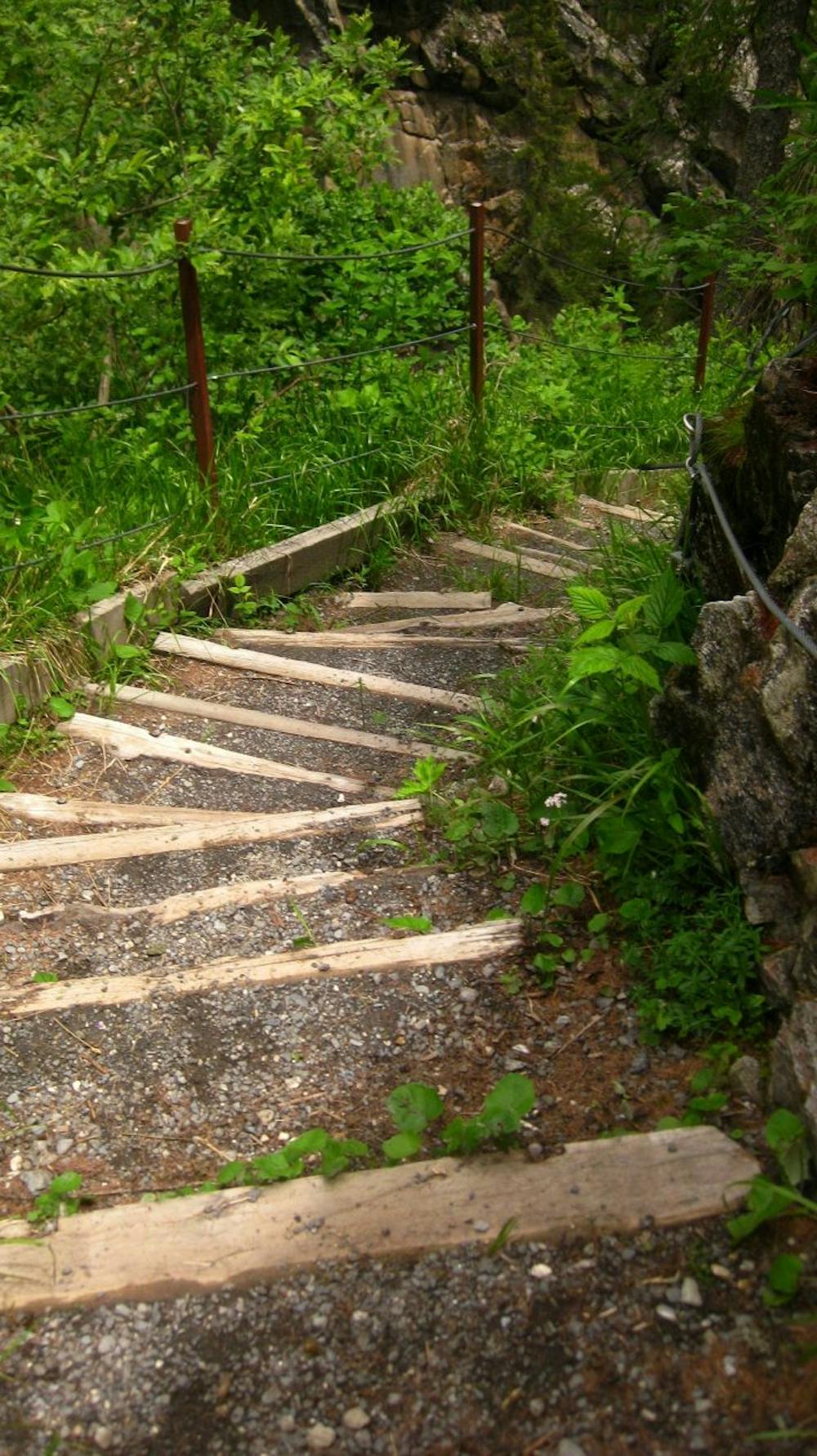
There is a walkway to get up close to the falls.
Easy
Walking along a well-kept trail that’s mostly flat. No obstacles are present.

The path is on completely flat land and potential injury is limited to falling over.
Close to help in case of emergency.
61 m away
Challenging alpine hike that summits Mont Buet along with other nearby peaks.
Extreme Hiking
2.6 km away
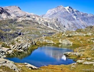
Day 10: The final day of the Tour and with expansive views across the Mont Blanc Massif, this is a fitting end to a great trip.
Difficult Hiking
2.6 km away
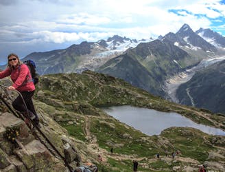
Hike to Lac Blanc from Col des Montets on one of Chamonix's most famous hikes!
Severe Hiking
2.7 km away
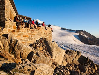
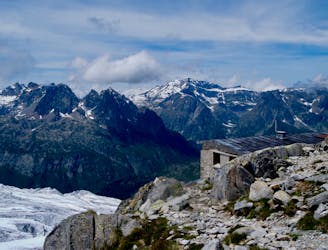
An accessible and beautifully-situated high mountain hut with a number of approaches.
Difficult Hiking
2.9 km away
An accessible and beautifully-positioned high mountain hut with a variety of approaches.
Difficult Hiking
4 km away

An accessible and beautifully-situated high mountain hut with a variety of approaches.
Difficult Hiking
4 km away
A tough hike which starts in forests and then brings you out into spectacular, open mountainous terrain.
Moderate Hiking
7 km away
A stunning segment of the TMB following the Grand Balcon Sud trail.
Difficult Hiking
7 km away
Hike to Lac Blanc from La Flegere on one of Chamonix's most famous hikes!
Difficult Hiking
7.6 km away
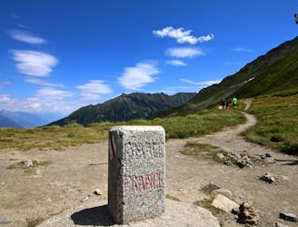
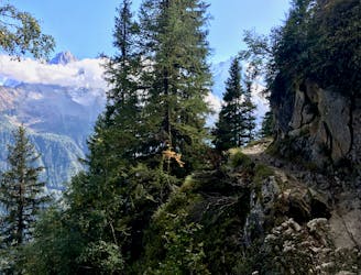
Day 9: The final border crossing of the Tour and the first time you'll have seen Chamonix for a week!
Severe Hiking

14 routes · Hiking

5 routes · Hiking

12 routes · Hiking

12 routes · Alpine Climbing · Hiking

15 routes · Alpine Climbing · Hiking

6 routes · Alpine Climbing · Hiking

9 routes · Alpine Climbing · Hiking