4.3 km away
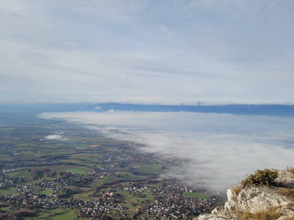
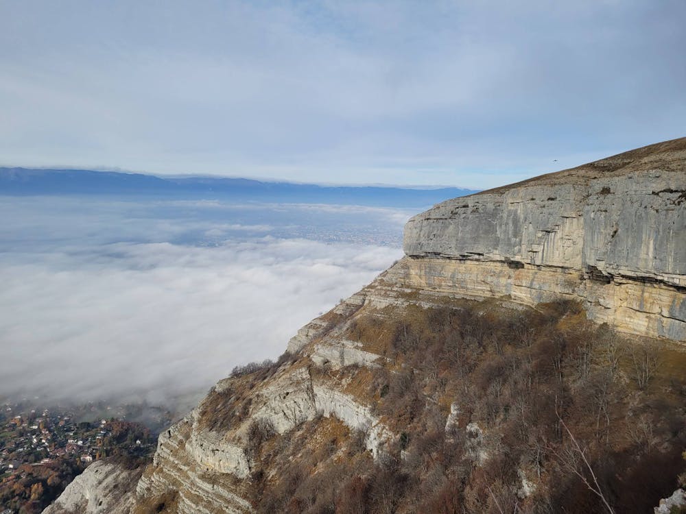
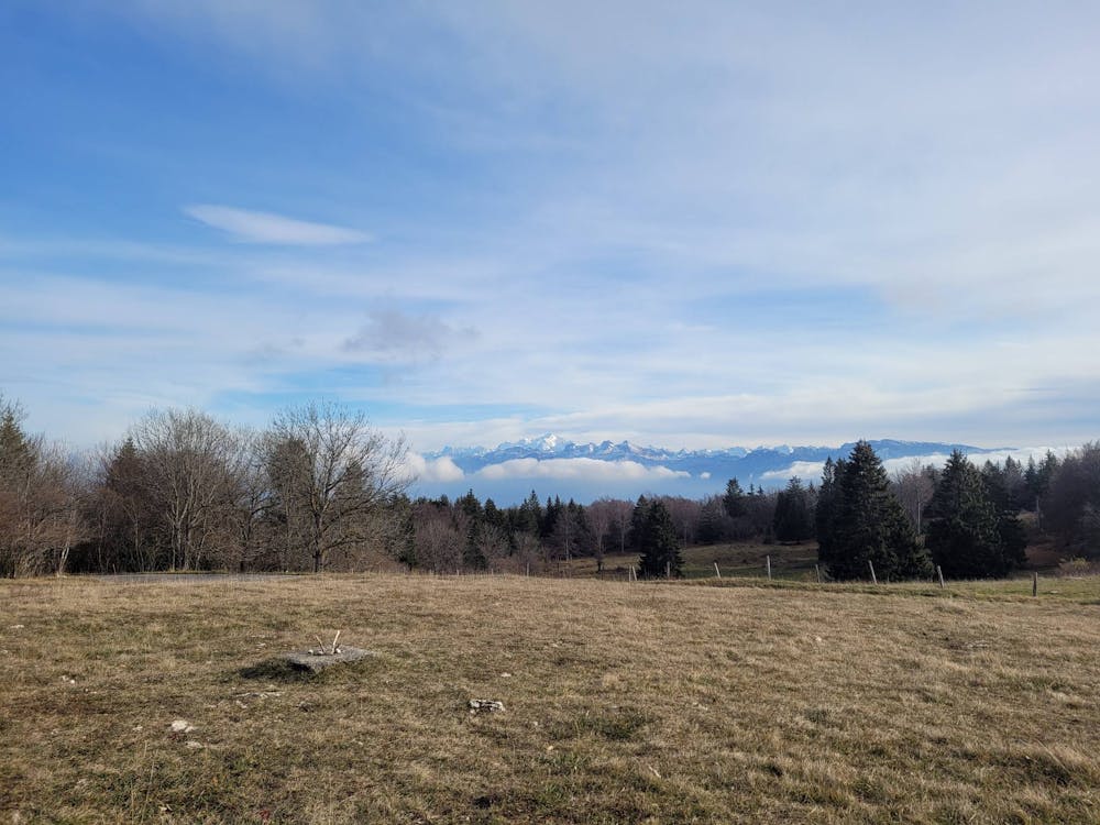
Mont Salève
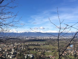
Climb high for spectacular views of the city and surrounding mountain ranges.
Moderate Hiking
- Distance
- 10 km
- Ascent
- 823 m
- Descent
- 823 m
Trail del Salève partendo da Collonges. E' un percorso abbastanza ripido, e per lo più in elevazione.
Hiking Difficult

This is a popular hiking route which is generally considered to be difficult. It's not remote, it features low exposure and is typically done between April and November. From a low point of 614 m to the maximum altitude of 1.3 km, the route covers 11 km, 796 vertical metres of ascent and 870 vertical metres of descent.
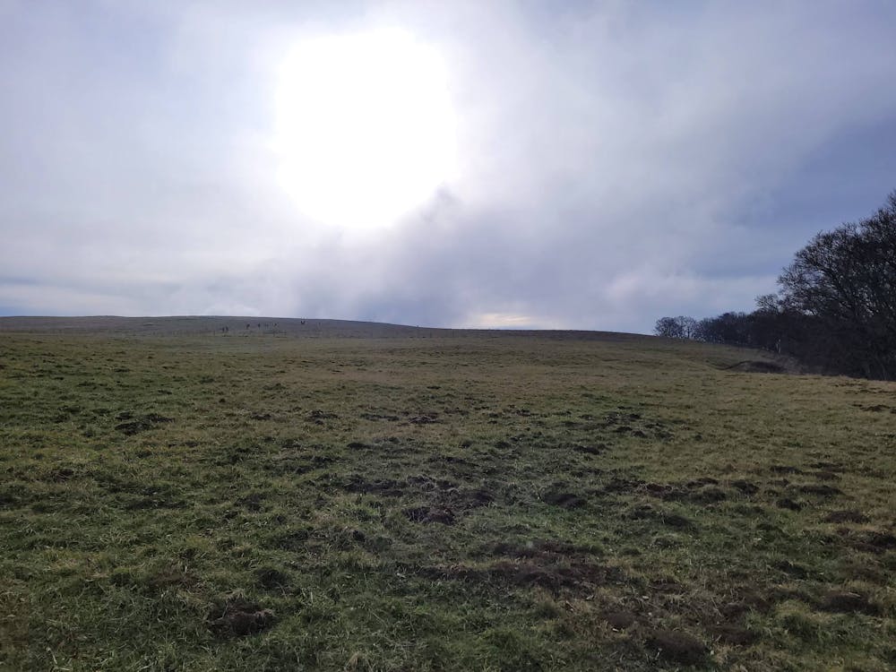
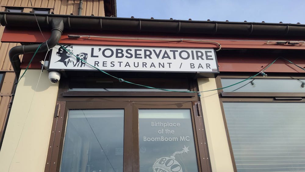
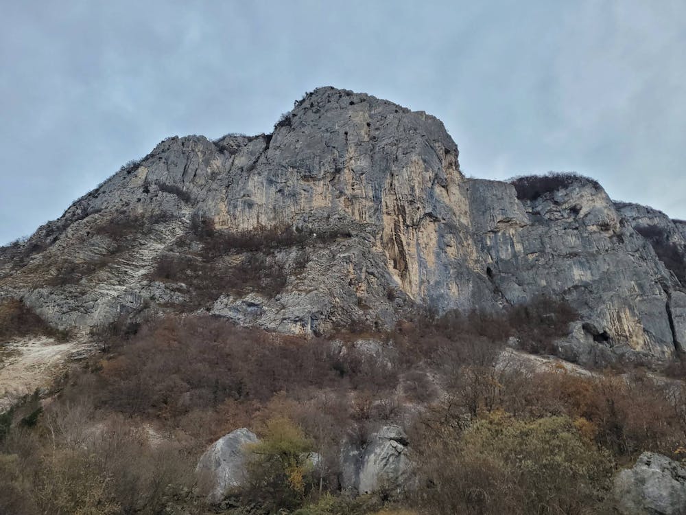
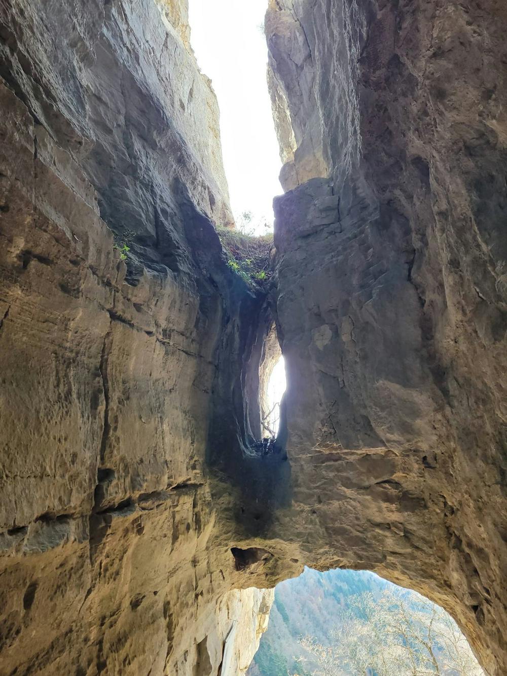
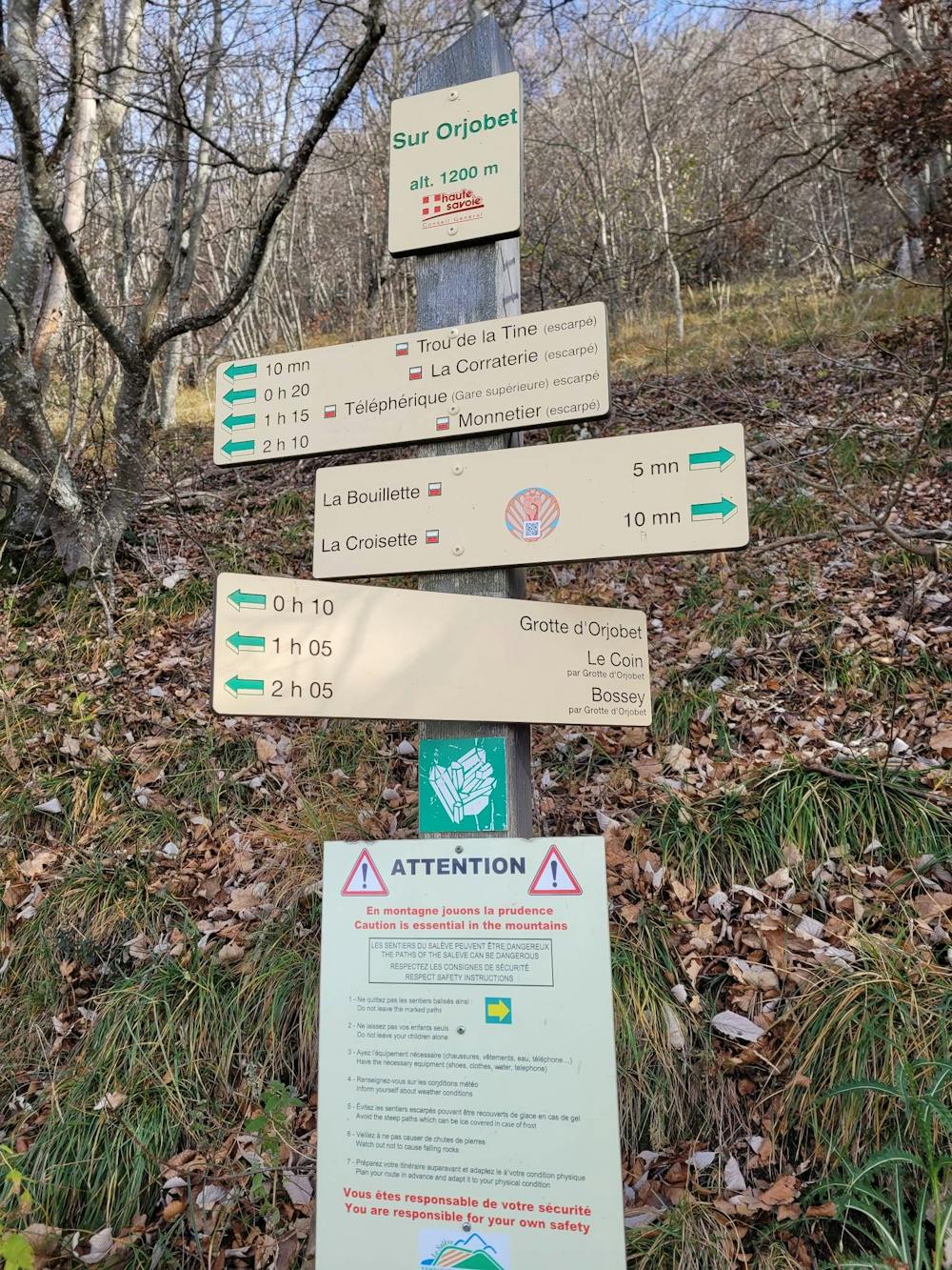
Pochissime fonti d'acqua. Raggiunto il ristorante Observatoire ci si può rifornire di qualche scorta o mangiare della fondue. Il percorso, ripeto, è ripito e rude. In base ai giorni può essere anche molto frequentato. Inoltre non è segnalato benissimo.
Difficult
Hiking trails where obstacles such as rocks or roots are prevalent. Some obstacles can require care to step over or around. At times, the trail can be worn and eroded. The grade of the trail is generally quite steep, and can often lead to strenuous hiking.

The path is on completely flat land and potential injury is limited to falling over.
Close to help in case of emergency.
4.3 km away
Climb high for spectacular views of the city and surrounding mountain ranges.
Moderate Hiking
8.4 km away
Follow the wide and winding river Rhône through Canton Geneva’s most accessible nature reserve.
Easy Hiking
4 routes · Hiking