2.9 km away
Aiguille Verte et lac de Lessy
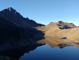
A classic lake and summit combination.
Severe Hiking
- Distance
- 13 km
- Ascent
- 1.1 km
- Descent
- 1.1 km
by Raphael Garagnon
Hiking Moderate

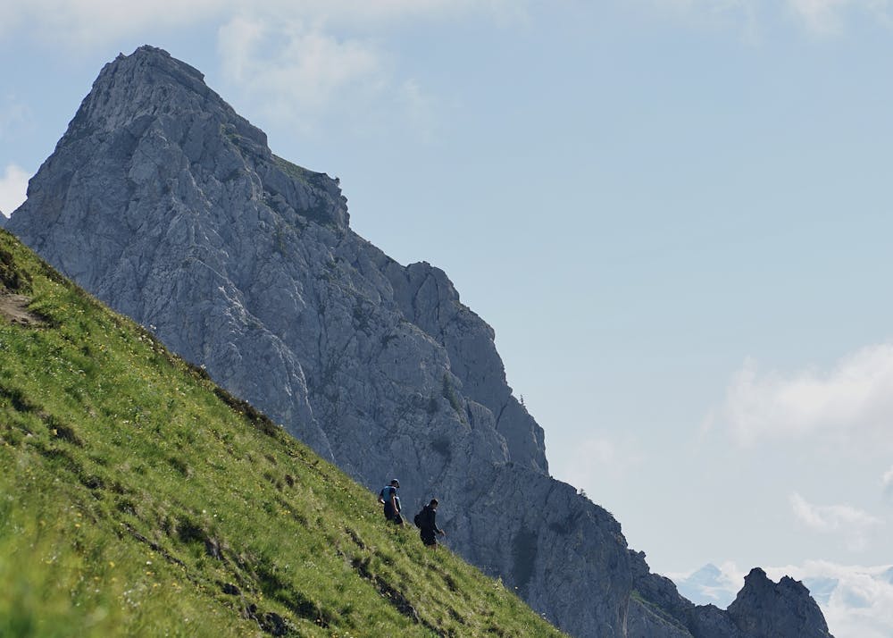
A wonderful summit of the Massif des Bornes ! From la Colombière, the beginning is really accessible on grassy slopes. The last part before reaching the Col du Rasoir is much steeper and more technical. Cross the Col du Rasoir from east to west in order to reach a passage called the Cravate on the north face of the Jallouvre, quite easy but very exposed (the snow remains very late in the season, be careful). After a few aerial steps reach the summit (2408m). Stunning 360° view on the Bornes, Aravis, Mont Blanc. Going back to the Col du Rasoir, it is possible to go to the Pointe Blanche (2438m) which is the highest summit of the Massif des Bornes.
Moderate
Hiking along trails with some uneven terrain and small hills. Small rocks and roots may be present.
2.9 km away
A classic lake and summit combination.
Severe Hiking
4.5 km away
Scramble/climb up a relatively technical ascent to the top of Pointe Percée.
Extreme Hiking