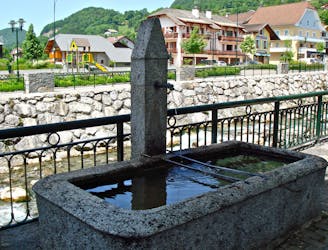
7.5 km away
Chamonix to Megève
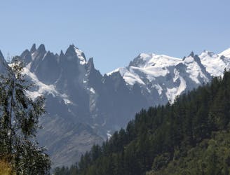
A long ride with some tough climbs between 2 famous alpine towns, this is a true classic.
Severe Road Biking
- Distance
- 82 km
- Ascent
- 1.6 km
- Descent
- 1.6 km
Sunny road biking with beautiful views
Road Biking Moderate

This is a popular road biking route which is generally considered to be moderate. It's an unknown remoteness, it features unknown exposure and is typically done in an unknown time of year. From a low point of 675 m to the maximum altitude of 1.4 km, the route covers 21 km, 814 vertical metres of ascent and 284 vertical metres of descent.
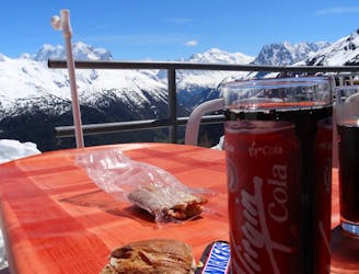
A local classic. A fast flowing start followed by an alpine climb that's never too steep, weaves through a beautiful forest and then tops out to spectacular views of the Mont Blanc Massif.
Moderate
7.5 km away
A long ride with some tough climbs between 2 famous alpine towns, this is a true classic.
Severe Road Biking
7.5 km away
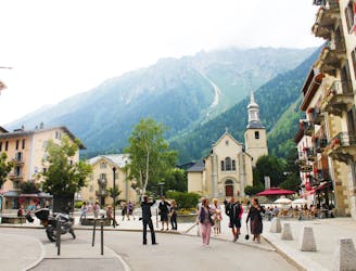
A scenic tour through some of Chamonix's most sought after neighbourhoods.
Moderate Road Biking
7.9 km away
A classic time trial to a fabulous viewpoint
Difficult Road Biking
8.1 km away
The classic Chamonix time trial from the M.B.C. pub to the stunning Col des Montets at the northern end of the Chamonix Valley.
Difficult Road Biking
4 routes · Road Biking