1.7 km away
Petit Balcon Loop

A classic loop around the Chamonix Valley.
Easy Trail Running
- Distance
- 21 km
- Ascent
- 702 m
- Descent
- 702 m
From Chamonix to Le Buet through the Aiguilles Rouges
Trail Running Difficult

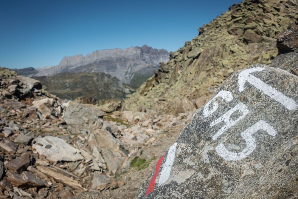
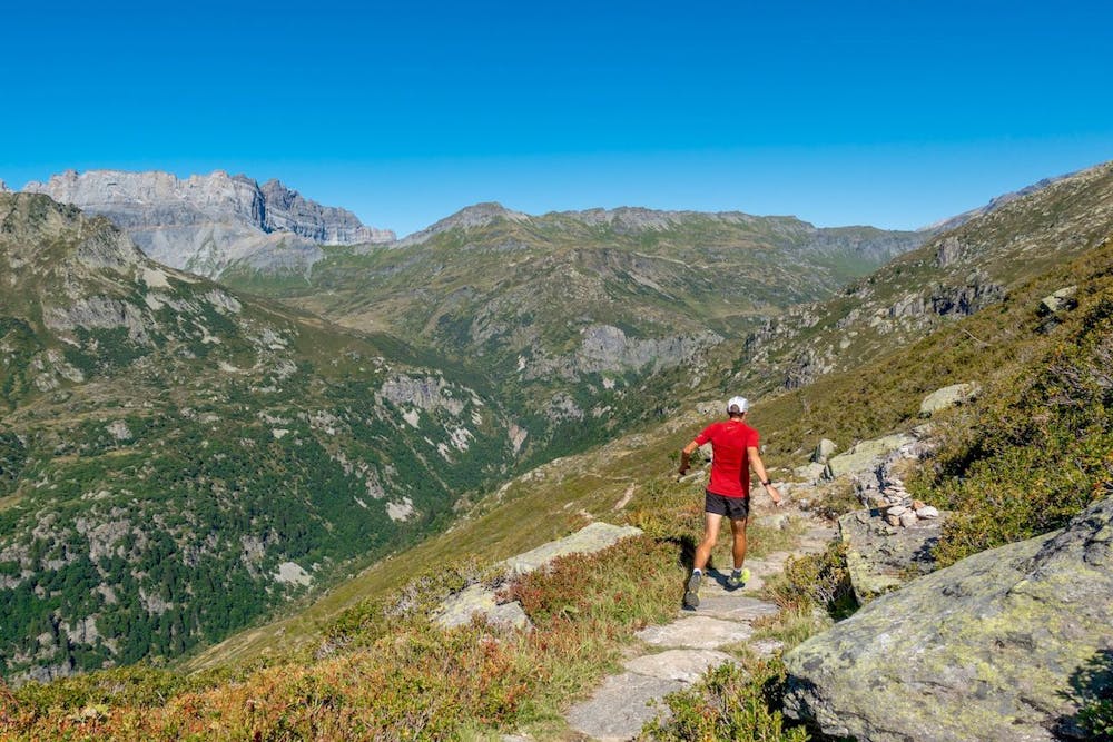
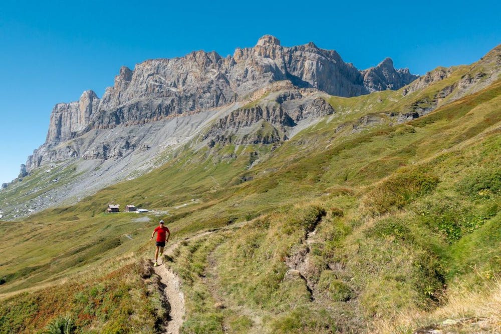
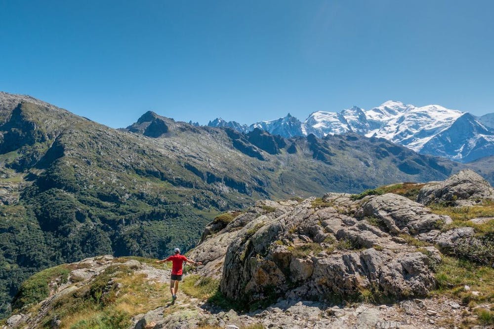
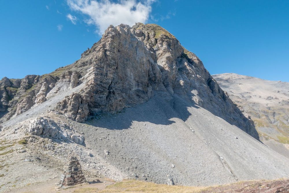
This remote route takes you over the back of the Aiguilles Rouges via Col du Brevent to the hidden Diosaz valley. The entire run goes though nature reserves, so you are likely to see marmots, Ibex and even bearded vultures. There are two refuges and plenty of water along the way. If you want to climb a 3000m mountain, there’s an optional out and back summit – Mont Buet - accessible from the Col du Salenton. Finish with a river-side cruise down to the historic Hotel de Buet, from where you catch the train back to Chamonix.
Check out Run the Alps trip options here: https://runthealps.com
Difficult

The trail contains some obstacles such as outcroppings and rock which could cause injury.

Little chance of being seen or helped in case of an accident.
1.7 km away
A classic loop around the Chamonix Valley.
Easy Trail Running
1.9 km away
An amazing way to see some of the best view in Chamonix on foot.
Moderate Trail Running
1.9 km away

le kilomètre vertical de Chamonix
Difficult Trail Running
1.9 km away

Epreuve reine de l'événement
Severe Trail Running
1.9 km away

La course nocturne en binome
Difficult Trail Running
1.9 km away

La plus longue coure du Marathon
Extreme Trail Running
2 km away

Le mini cross est un petit trail pour les plus jeunes, de 800m à 3km en fonction des catégories.
Easy Trail Running
2 km away

La course format 10k de l'événement
Moderate Trail Running
2 km away

le cross du Mont-blanc
Difficult Trail Running
2.1 km away
The easiest trail run in Chamonix.
Easy Trail Running

8 routes · Trail Running