539 m away
90 km du Mont-Blanc

La plus longue coure du Marathon
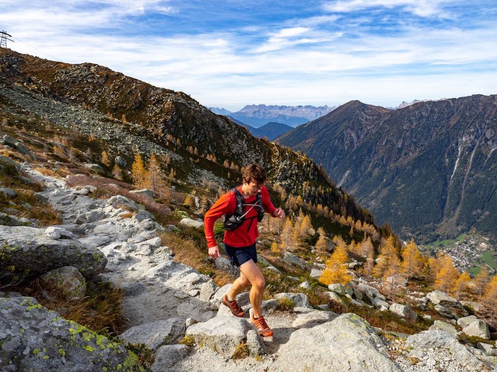
Extreme Trail Running
- Distance
- 89 km
- Ascent
- 6.3 km
- Descent
- 6.3 km
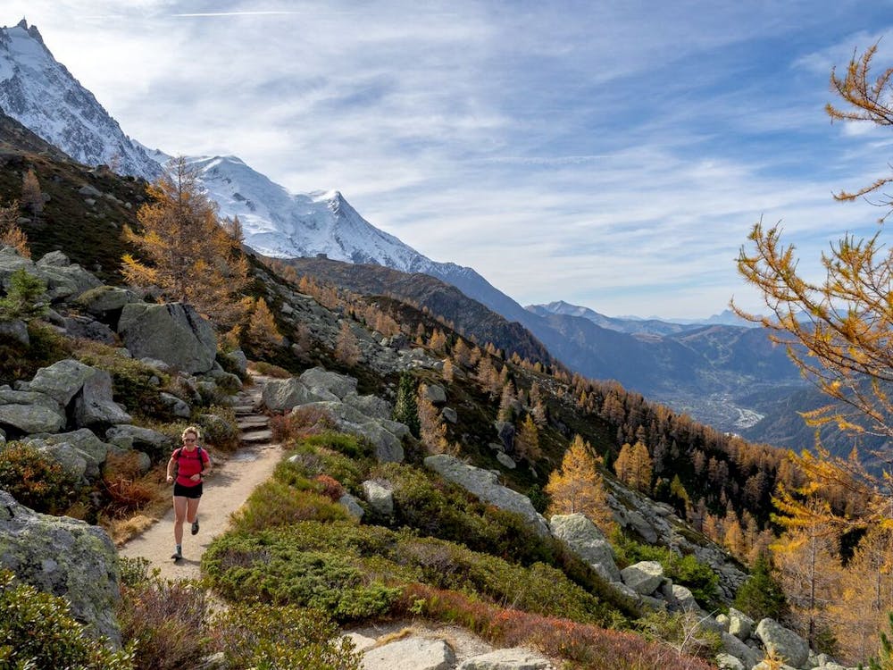
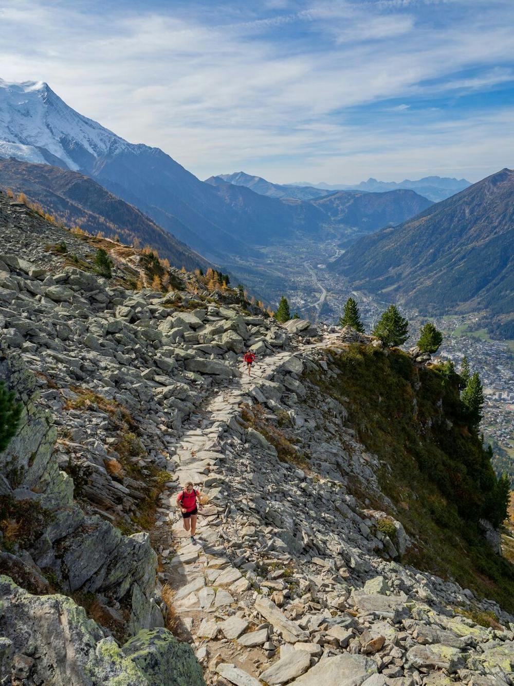
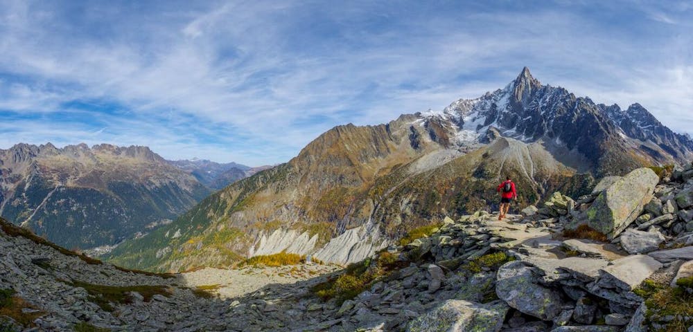
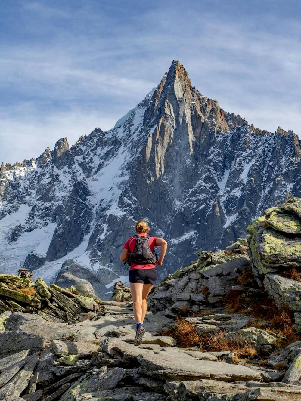
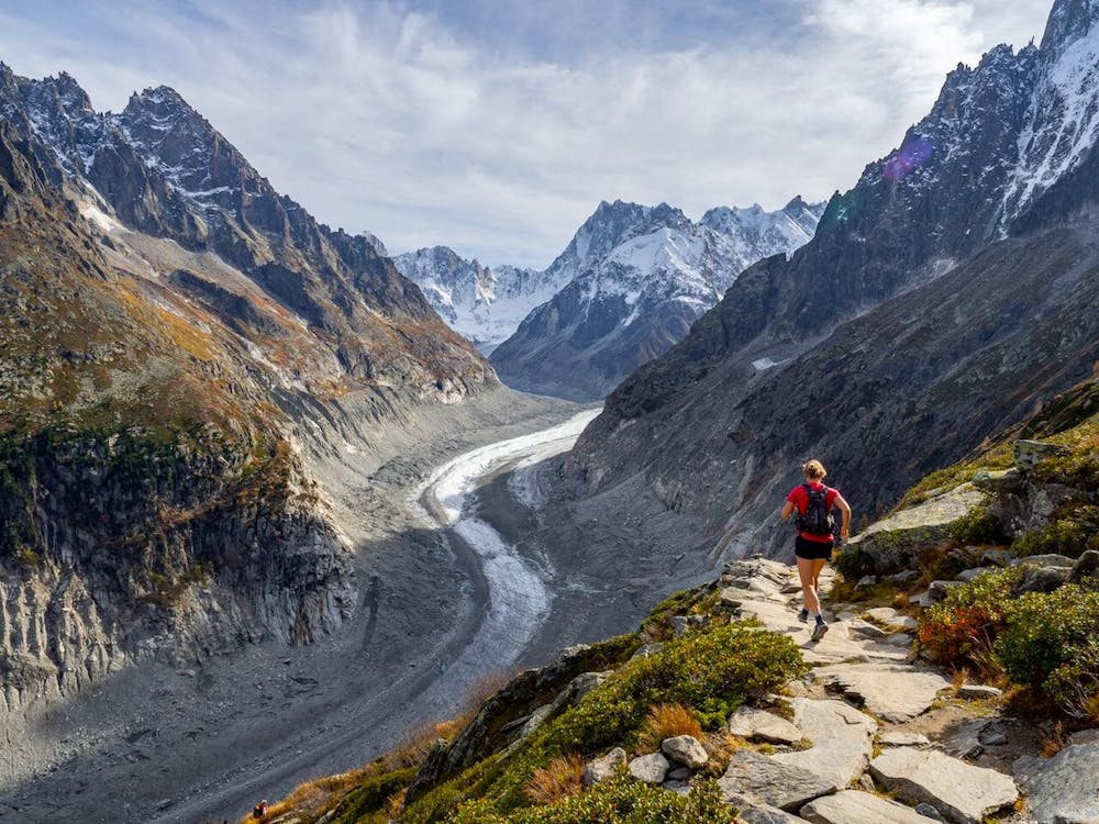
A high balcony run below the Chamonix Aiguilles
Trail Running Difficult

This is a classic circuit which leads across a beautiful, high route above treeline and underneath the towering Chamonix ‘Aiguilles’, or needles. The route climbs to the Refuge Plan de l’Aiguille before traversing to Montenvers, which has a commanding view over the Mer de Glace glacier and the ‘other side’ of the Aiguilles. It is also possible to use the Aiguille du Midi cable car or Montenvers train to avoid either the ascent or descent.
Check out Run the Alps trip options here: https://runthealps.com
Difficult

The trail contains some obstacles such as outcroppings and rock which could cause injury.
Away from help but easily accessed.
539 m away
La plus longue coure du Marathon
Extreme Trail Running
543 m away

La course nocturne en binome
Difficult Trail Running
545 m away

le kilomètre vertical de Chamonix
Difficult Trail Running
549 m away

Epreuve reine de l'événement
Severe Trail Running
707 m away
An amazing way to see some of the best view in Chamonix on foot.
Moderate Trail Running
1 km away
Enjoy the open vistas of the north balcony between Montenvers and Plan de l'Aiguille on vintage Chamonix trails.
Moderate Trail Running
1.2 km away

A classic loop around the Chamonix Valley.
Easy Trail Running
1.3 km away

La course format 10k de l'événement
Moderate Trail Running
1.3 km away

le cross du Mont-blanc
Difficult Trail Running
1.3 km away

Le mini cross est un petit trail pour les plus jeunes, de 800m à 3km en fonction des catégories.
Easy Trail Running

8 routes · Trail Running