Traces des Ducs de Savoie 150km
Aiguille du Midi
Chamonix
Skyway Monte Bianco
Courmayeur
A half loop around Mont-Blanc that starts in Courmayeur. Une demi-boucle autour du Mont-Blanc qui débute à Courmayeur.
Also in Aoste, Italy
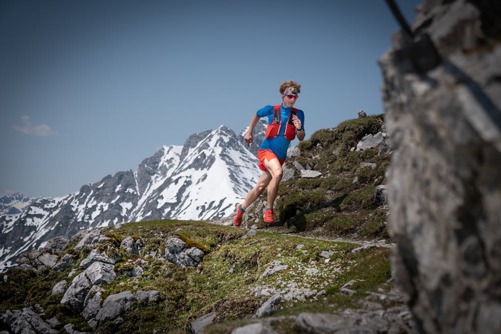
Trail Running Extreme
- Distance
- 143 km
- Ascent
- 8.7 km
- Descent
- 8.9 km
- Duration
- 1 day +
- Low Point
- 723 m
- High Point
- 2.6 km
- Gradient
- 15˚

This is a popular trail running route which is generally considered to be extreme. It's an unknown remoteness, it features unknown exposure and is typically done in an unknown time of year. From a low point of 723 m to the maximum altitude of 2.6 km, the route covers 143 km, 8686 vertical metres of ascent and 8861 vertical metres of descent.
Description
The TDS (Traces des Ducs de Savoie) leads on a half loop around the Mont-Blanc with start in Courmayeur.
La TDS (Traces des Ducs de Savoie) mène sur une demi-boucle autour du Mont-Blanc avec un départ à Courmayeur.
Difficulty
Extreme