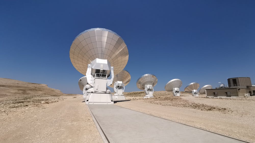
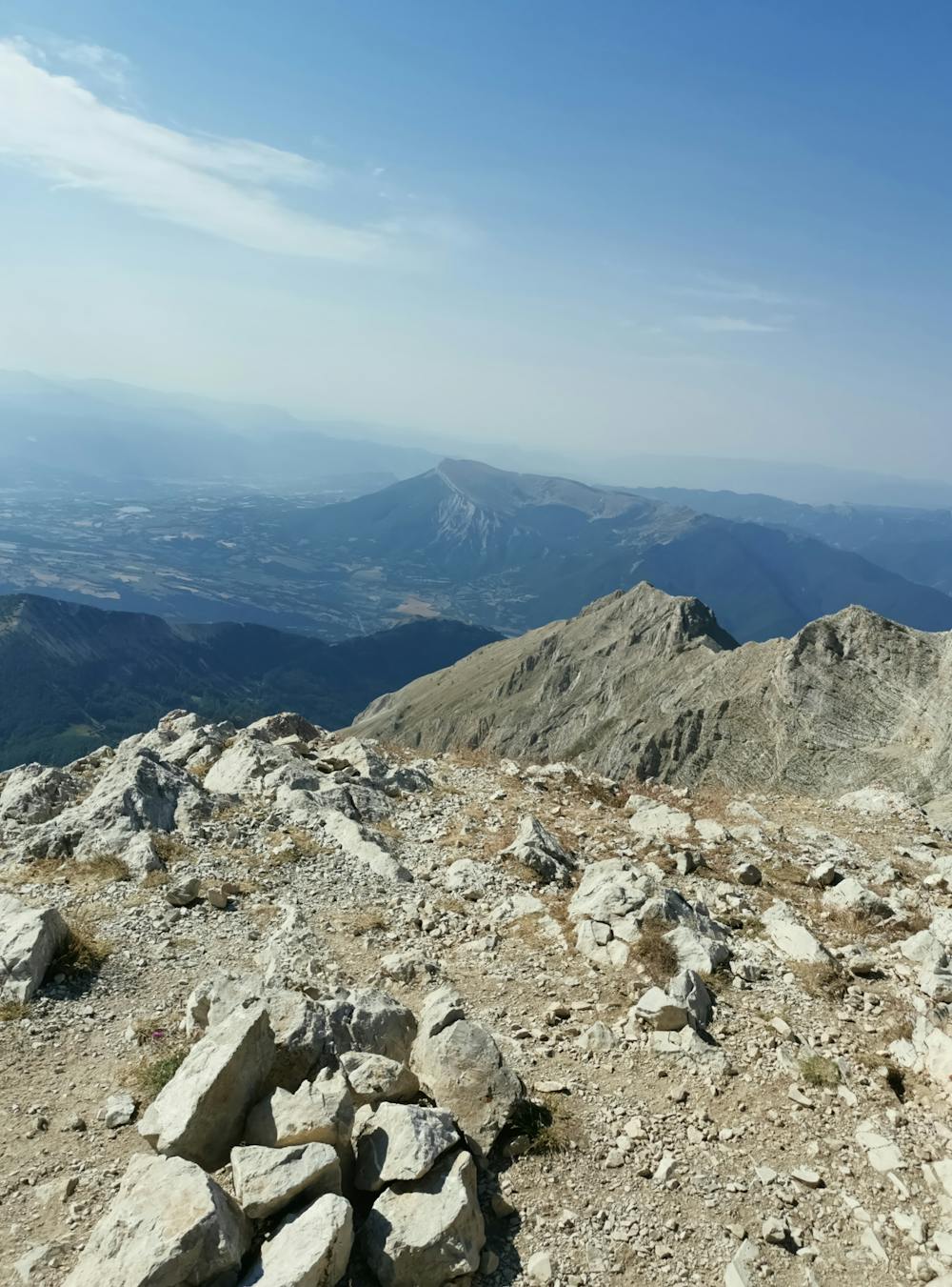
Pic de Bure (2709m) from Montmaur
Gap
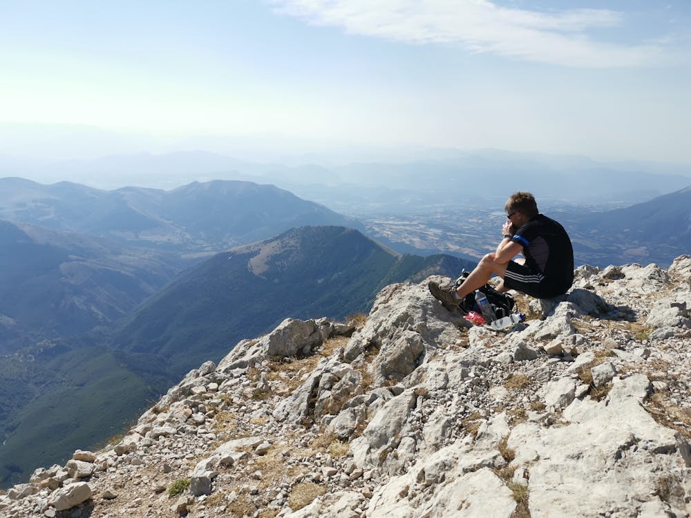
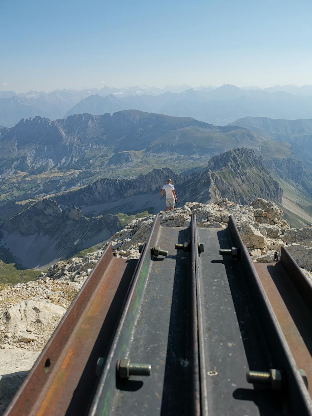
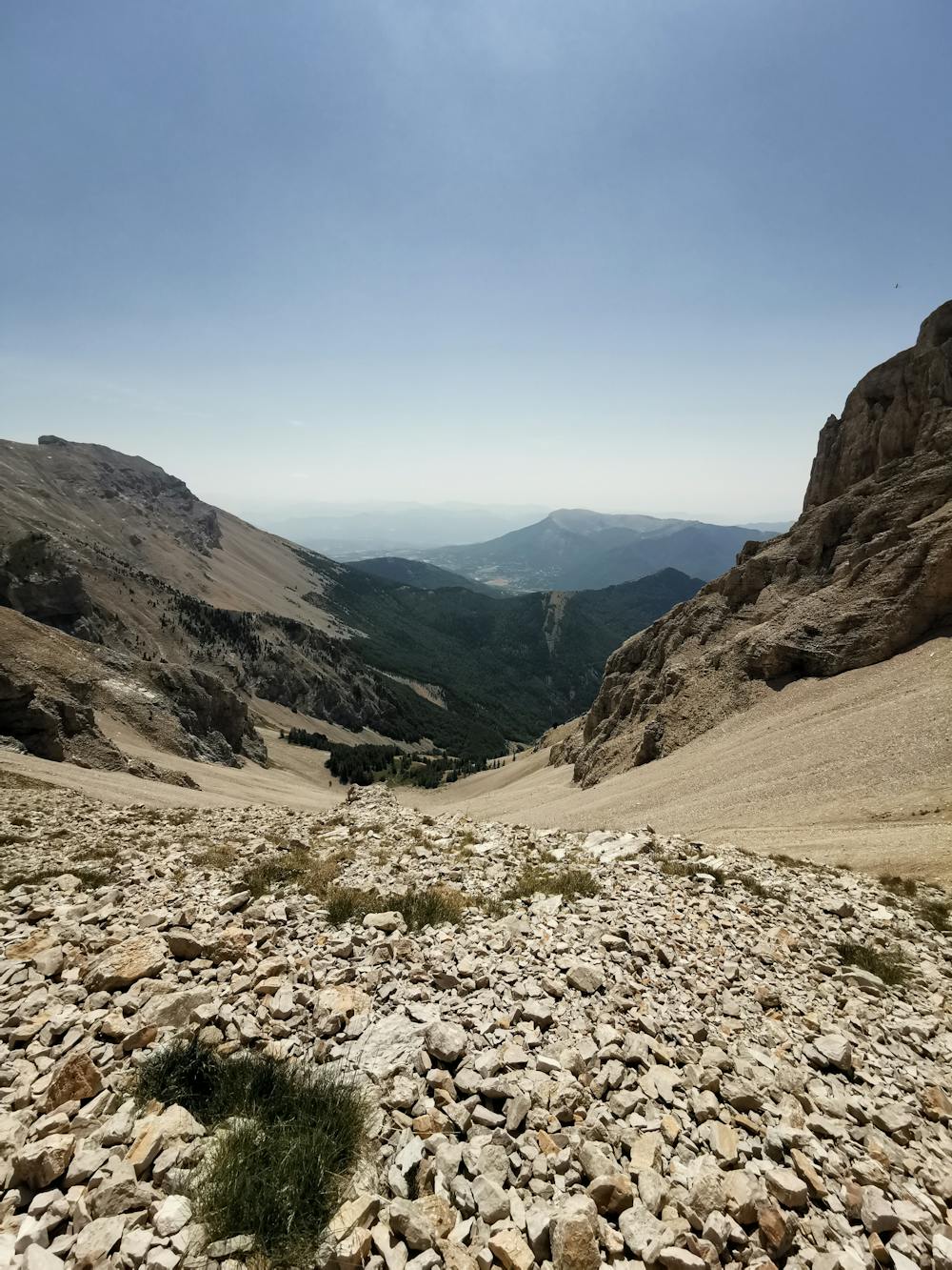
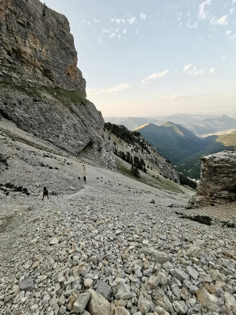
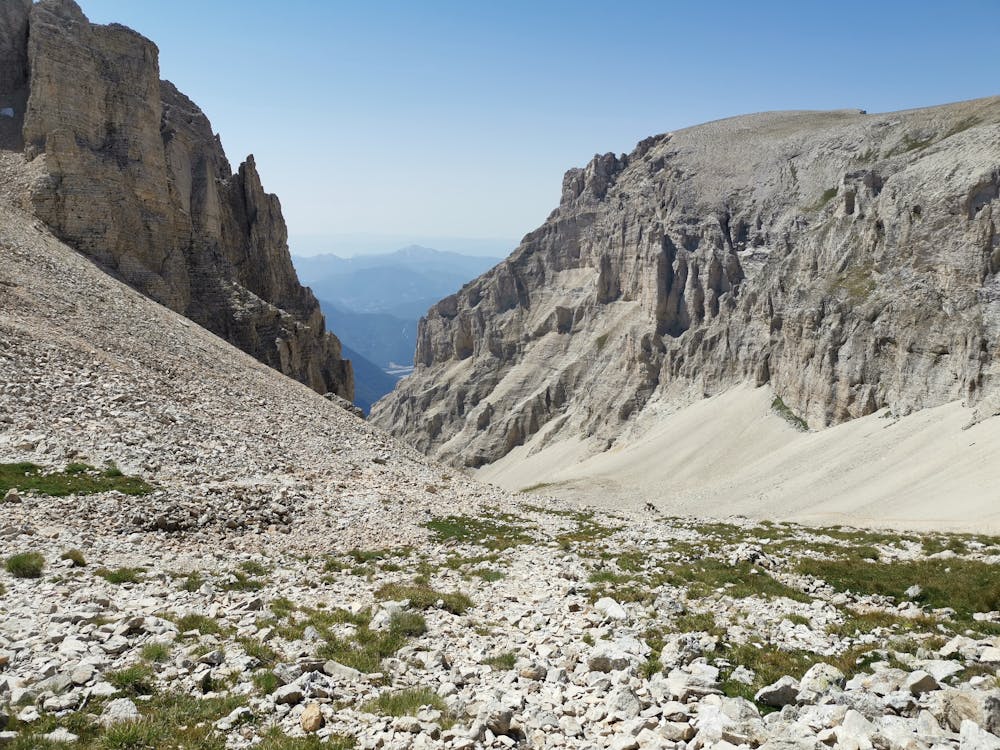
Classic climb via the Combe d'Aurauze and descent via the very steep Combe de Mai. Fabulous route with a breathtaking panorama ...
Hiking Difficult
- Distance
- 16 km
- Ascent
- 1.4 km
- Descent
- 1.5 km
- Duration
- 7-8 hrs
- Low Point
- 1.4 km
- High Point
- 2.7 km
- Gradient
- 21˚

This is a popular hiking route which is generally considered to be difficult. It's remote, it features medium exposure and is typically done between April and October. From a low point of 1.4 km to the maximum altitude of 2.7 km, the route covers 16 km, 1448 vertical metres of ascent and 1480 vertical metres of descent.

- •
- •
- •
- •
- •
- •
- •
- •
- •
- •
Description
Classic climb via the Combe d'Aurauze and descent via the very steep Combe de Mai. Fabulous route with a breathtaking panorama ...
Difficulty
Difficult
Hiking trails where obstacles such as rocks or roots are prevalent. Some obstacles can require care to step over or around. At times, the trail can be worn and eroded. The grade of the trail is generally quite steep, and can often lead to strenuous hiking.
Medium Exposure

The trail contains some obstacles such as outcroppings and rock which could cause injury.
Remoteness
Away from help but easily accessed.
Best time to visit
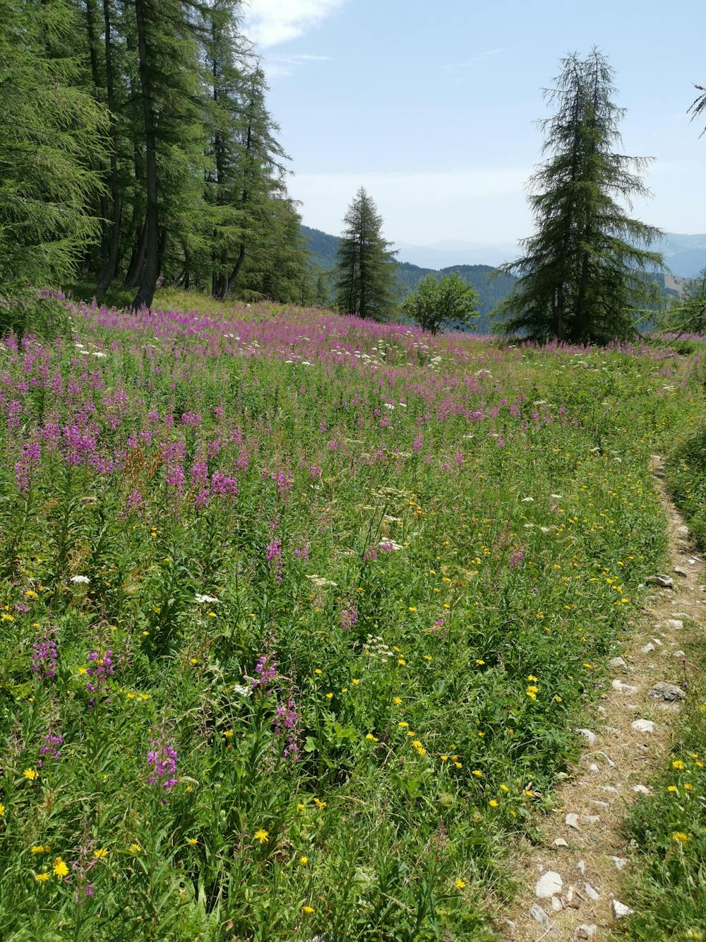
Features
- Picturesque
- Summit Hike
- Wild flowers