2.8 km away
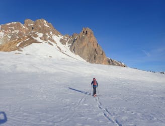
Col du Bal
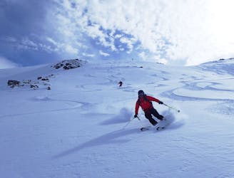
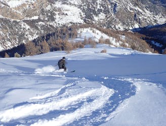
A stunning line near Puy-Saint-Vincent ski resort
Difficult Ski Touring
- Distance
- 11 km
- Ascent
- 1 km
- Descent
- 1 km
Free rando from the top of Puy Saint Vincent lifts
Ski Touring Difficult

Hike to the top of la Pendine then ski or hike on the ridge (crampons sometimes...) Drop to the north bowl with stable snowpack. Rope recommended for the first 30m (possible to hike to the Col du Bal if the entrance is not in condition. Skin to the col des Querettes and down to the Nareyroux huts back to the resort on the trail
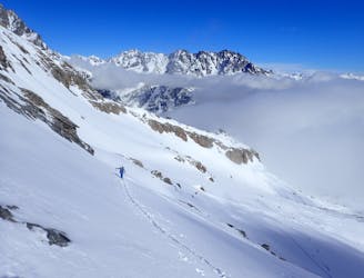
Difficult
Serious gradient of 30-38 degrees where a real risk of slipping exists.

In case of a fall, death is highly likely.

Away from help but easily accessed.
2.8 km away
A stunning line near Puy-Saint-Vincent ski resort
Difficult Ski Touring
3.6 km away
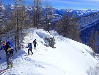
Great tree skiing when the snow is good.
Difficult Ski Touring
6.1 km away
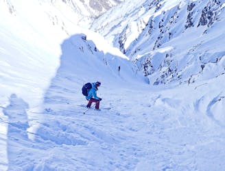
Classic couloir skiing in an amazing place.
Severe Ski Touring
6.1 km away
A short tour with the use of an uplift.
Difficult Ski Touring
6.4 km away
A mixed day of tracks, woods and open faces.
Moderate Ski Touring
9.5 km away
A classic circular route through some big peaks
Severe Ski Touring